Trout Lake
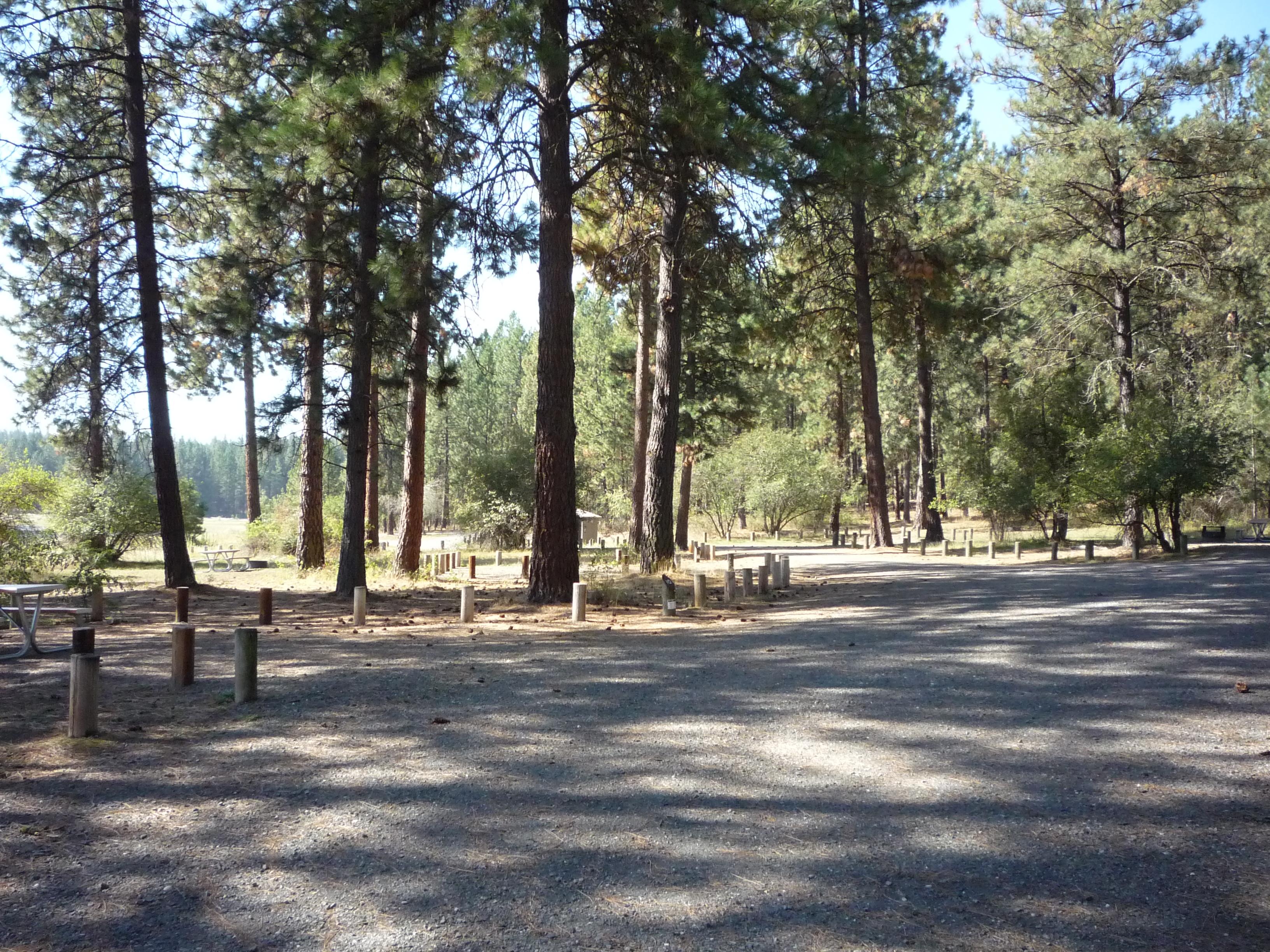
Trout Lake, part of Colville National Forest.
More like this: reservable in Washington · tent only in Washington
Check availability on Recreation.gov ↗
Site mix
| Standard, no hookups | 5 |
Amenities & rules
| Equipment | Tents |
| Fees | No Fee |
Individual sites vary. Confirm on Recreation.gov or with the managing office.
Season & status
| Status | Closed for the season. Forest Service sites close for the season; check the official page for the reopening date. |
| Season | Memorial Day Weekend to October 27 |
| Forest | Colville National Forest |
| Booking | Sites are available on a first-come, first-served basis. |
| Fees | No Fee |
| Rules | Washington state fishing license required. Internal combustion motors prohibited. Quiet hours between 10 p.m. and 6 a.m. Campfire in developed fire ring only. Fireworks are prohibited. Pets must be on leash. OHV use prohibited in the campground. Maximum length of stay: 14 days. |
Weather by month
Getting there
| Coordinates | 48.6244° N, 118.2405° W · Directions ↗ |
Fire nearby
- Prescribed3R Rx - Coyote
2 mi from the campground · 841 acres
- PrescribedRep Rx - Walker 50
16 mi from the campground · 313 acres
- PrescribedRx - South Twin Wui
25 mi from the campground
- PrescribedLpr Rx - Paulke
27 mi from the campground · 331 acres
Distance is to the reported incident point, not the fire edge. Call the managing office before you drive.
Supplies & services
| Outdoor gear | Boulder Creek Saddle Shop ↗ | 8.6 mi |
| Dump station | Dump station ↗ | 20.3 mi |
| RV sales & service | Parkway RV ↗ | 58.9 mi |
Locations © OpenStreetMap contributors. Call ahead; hours change seasonally.
Explore
Trails nearby
- under 0.1 miHoodoo Canyon ↗4.7 mi trail · hiking, horse, bike
- 1.3 miEmerald Lake0.6 mi trail · hiking, horse, bike
- 3 miLog Flume ↗0.7 mi trail · hiking, horse, bike · national_recreation_or_other
- 3 miCanyon Creek ↗1 mi trail · hiking, horse, bike, ski
- 4.7 miSouth Huckleberry ↗5.1 mi trail · hiking, horse, bike, motorcycle and 3 more
Trail and trailhead records are the Forest Service's. Distances are straight-line to the nearer trail end. Trail conditions are not tracked here.
Public land it sits in
This campground sits inside Colville National Forest.
- inColville National Forest ↗National Forest · Forest Service · 1,752,994 acres
Each unit is published as a centre point and an acreage rather than a boundary, so this section stands it in for a circle of the same area. Whether a campground is inside, and how far it is from one it is outside, are both approximate.
Other campgrounds nearby
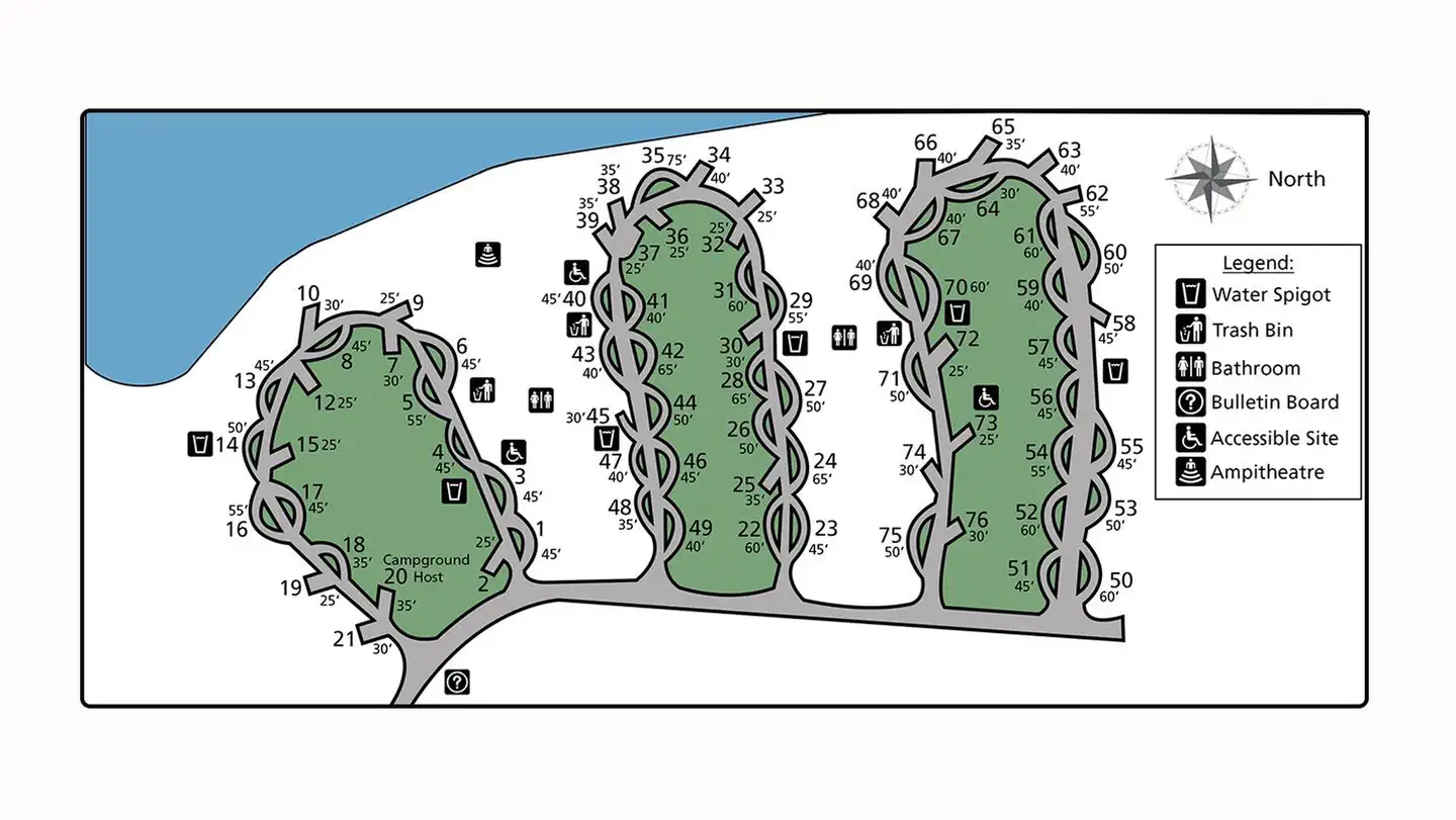

Cabin and lookout rentals nearby
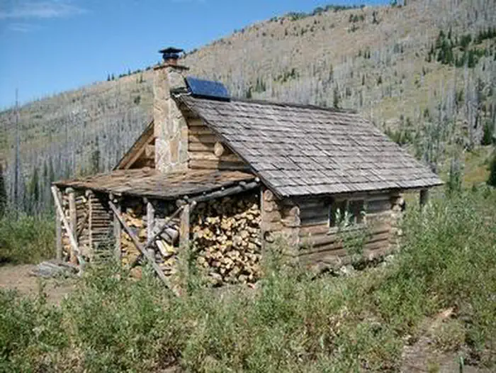
On the National Register nearby
- Columbia River Bridge at Kettle FallsStructure · Kettle Falls · 5.6 mi
- St. Paul's MissionBuilding · Kettle Falls · 6.1 mi
- Meyers Falls Power Plant Historic DistrictHistoric district · Kettle Falls · 8.6 mi
Guidebooks for Washington
We earn a small commission if you buy through these links. It does not change what we list.
Titles come from Open Library's catalog, matched by subject heading or by title.
Reference
Questions people ask
Do I need a reservation at Trout Lake?
Sites at Trout Lake are reservable on Recreation.gov. Sites are available on a first-come, first-served basis. Any walk-up sites are listed on the booking page.
Source: Recreation.gov
How much does it cost to camp at Trout Lake?
No Fee
Source: Recreation.gov
Is Trout Lake open right now?
Closed for the season as of Oct 16, 2026. Season Memorial Day Weekend to October 27.
Source: Forest Service status
How many sites does Trout Lake have?
5 sites, including 5 standard sites without power.
Source: Recreation.gov
Can I bring an RV to Trout Lake?
Trout Lake is listed for tents only.
Source: Recreation.gov
What if Trout Lake is full?
The nearest public campgrounds are Canyon Creek (3.2 mi), Haag Cove Campground (5.5 mi), and Kettle Falls Campground (5.7 mi).
Source: Campgrounds nearby