Lake Fork Campground
Lake Fork Campground is situated along North Pine Creek and the Hells Canyon Scenic Byway. The site is popular in the late spring through fall camping seasons for recreationists who enjoy relaxing, day hiking and exploring along the Scenic Byway and throughout the Hells Canyon National Recreation Area. Primary use season is June - October Quiet hours are 10pm to 6am
More like this: reservable in Oregon · tent only in Oregon
Check availability on Recreation.gov ↗
Site mix
| Standard, no hookups | 10 |
Amenities & rules
| Equipment | Tents |
| Fees | Overnight Use: Single Site: $15/night. Interagency Senior/Access Recreation Passes provide a 50% discount to Single Campsites ONLY. The discount applies only to the fee for the campsite physically occupied by the pass holder, not to any additional fee or campsite(s) occupied by members of the pass… |
Lake Fork CG has 10 sites each with picnic tables, fire rings and parking spots
Individual sites vary. Confirm on Recreation.gov or with the managing office.
Season & status
| Season | June to September |
| Forest | Wallowa Whitman National Forest |
| Booking | This site is not reservable. |
| Fees | Single unit campsites = $15.00/night. A self-service fee station is available at the campground. |
| Rules | General rules of use and restrictions apply for this developed recreation site. |
Weather by month
Getting there
From Enterprise, Oregon travel south on Oregon State 82 towards Joseph for about 6.5 miles; In Joseph turn left on Oregon State 350 and go about 8 miles to the Wallowa Loop Road; Turn right on the Wallowa Loop Road (also known as the Hells Canyon Scenic Byway) and travel on this road which eventually becomes Forest Road 39 for 45 miles to the…
| Nearest town | Joseph, Oregon |
| Coordinates | 45.0093° N, 116.9147° W · Directions ↗ |
Fire nearby
- PrescribedCold Rx
23 mi from the campground · 1,094 acres
- PrescribedBrush Rx
28 mi from the campground · 150 acres
- PrescribedMill Creek Council Mtn Rx
32 mi from the campground · 1,817 acres
- PrescribedGoose Rx
36 mi from the campground · 529 acres
Distance is to the reported incident point, not the fire edge. Call the managing office before you drive.
Supplies & services
| Dump station | Dump station ↗ | 5.4 mi |
| Outdoor gear | Joseph Fly Shope and Lamb Trading ↗ | 28.3 mi |
Locations © OpenStreetMap contributors. Call ahead; hours change seasonally.
Explore
Video
Lake Fork Campground - Conejos River Colorado
Worth a stop
- 8.6 miIndian Crossing Trailhead ↗Trailhead
- 10.5 miClear Creek Trailhead ↗Trailhead
Trails nearby
Trailheads within three miles
- 0.2 miLake Fork Creek Trailhead ↗Wallowa Whitman National Forest · Season June
Trail and trailhead records are the Forest Service's. Distances are straight-line to the nearer trail end. Trail conditions are not tracked here.
Public land it sits in
This campground sits inside Wallowa-Whitman National Forest.
- inWallowa-Whitman National Forest ↗National Forest · Forest Service · 2,525,292 acres
Each unit is published as a centre point and an acreage rather than a boundary, so this section stands it in for a circle of the same area. Whether a campground is inside, and how far it is from one it is outside, are both approximate.
Other campgrounds nearby
Cabin and lookout rentals nearby
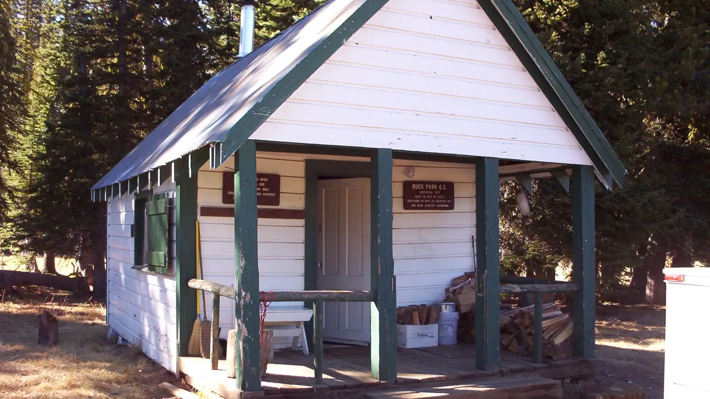
On the National Register nearby
- A. O. Huntley BarnBuilding · Cuprum · 10.4 mi
- Cornucopia JailhouseBuilding · Cornucopia · 13.8 mi
Guidebooks for Oregon
We earn a small commission if you buy through these links. It does not change what we list.

Titles come from Open Library's catalog, matched by subject heading or by title.
Reference
Questions people ask
Do I need a reservation at Lake Fork Campground?
Sites at Lake Fork Campground are reservable on Recreation.gov. This site is not reservable. Any walk-up sites are listed on the booking page.
Source: Recreation.gov
How much does it cost to camp at Lake Fork Campground?
Overnight Use: Single Site: $15/night. Interagency Senior/Access Recreation Passes provide a 50% discount to Single Campsites ONLY. The discount applies only to the fee for the campsite physically occupied by the pass holder, not to any additional fee or campsite(s) occupied by members of the pass…
Source: Recreation.gov
How many sites does Lake Fork Campground have?
10 sites, including 10 standard sites without power.
Source: Recreation.gov
Can I bring an RV to Lake Fork Campground?
Lake Fork Campground is listed for tents only.
Source: Recreation.gov
What is the nearest town to Lake Fork Campground?
Joseph, Oregon.
Source: Getting there
What if Lake Fork Campground is full?
The nearest public campgrounds are Coverdale Campground (6.8 mi), Hidden Campground (7.8 mi), and Twin Lakes Campground (8.3 mi).
Source: Campgrounds nearby