Penn Basin
The Penn Basin Campground near Landmark, Idaho, offers 6 campsites in a peaceful, remote setting near mountain slopes covered in dense pine forest. Peak season for the campground is typically early June through late September. It can be accessed by most vehicles; however the road is narrow and may be rough in spots.
More like this: reservable in Idaho · tent only in Idaho
Check availability on Recreation.gov ↗
Site mix
| Standard, no hookups | 6 |
Amenities & rules
| Equipment | Tents |
Individual sites vary. Confirm on Recreation.gov or with the managing office.
Season & status
| Season | Beginning of June to Mid-September |
| Forest | Boise National Forest |
| Booking | No reservations are necessary and there are no fees with 6 campsites that is on a first come, first serve basis. |
Weather by month
Getting there
From Boise, Idaho, travel north on State Highway 55 approximately 80 miles to Cascade, Idaho. From Cascade, Idaho, travel north on State Highway 55 only a short distance to the turnoff at the Warm Lake Road (Forest Highway 22). Take Forest Highway 22 northeast approximately 25 miles.
| Coordinates | 44.6246° N, 115.5253° W · Directions ↗ |
Charges and cancellations
Non-refundable
Fire nearby
- PrescribedMeadow Marsh Rx
35 mi from the campground · 70 acres
- PrescribedRx Lowman Wui
36 mi from the campground
- PrescribedGoose Rx
40 mi from the campground · 529 acres
- PrescribedMill Creek Council Mtn Rx
41 mi from the campground · 1,817 acres
Distance is to the reported incident point, not the fire edge. Call the managing office before you drive.
Explore
Worth a stop
The tiny community of Yellow Pine established in 1902 is north of the campground approximately 28 miles and offers limited services. The popular Yellow Pine Music & Harmonica Festival is held annually in August.
- 2 miNorth Fork Sulfur Creek Trailhead ↗Trailhead
- 4.7 miSnowshoe / Summit Trailhead ↗Trailhead
Trails nearby
- 1.1 miSand Creek2.2 mi trail · snowmobile, snowshoe, ski
- 1.1 miRock Creek3 mi trail · hiking, horse, bike, motorcycle and 1 more
- 1.6 miSulphur Creek2.9 mi trail · hiking, horse, bike, snowmobile and 2 more
- 1.7 miMosquito Creek2.6 mi trail · hiking, horse, bike, motorcycle and 2 more
- 1.9 miNorth Fork of Sulphur Creek2.5 mi trail · hiking, horse, bike
- 2 miN Fk Sulphur Creek ↗5.4 mi trail · hiking, horse
Trailheads within three miles
- 2 miNorth Fork Sulfur Creek Trailhead ↗Boise National Forest
Trail and trailhead records are the Forest Service's. Distances are straight-line to the nearer trail end. Trail conditions are not tracked here.
Public land it sits in
This campground sits inside Payette National Forest.
- inPayette National Forest ↗National Forest · Forest Service · 2,407,306 acres
- 6.1 miBoise National Forest ↗National Forest · Forest Service · 2,526,862 acres
- 6.8 miFrank Church-River of No Return Wilderness ↗Wilderness · BLM/FS · 2,358,886 acres
Each unit is published as a centre point and an acreage rather than a boundary, so this section stands it in for a circle of the same area. Whether a campground is inside, and how far it is from one it is outside, are both approximate.
Other campgrounds nearby
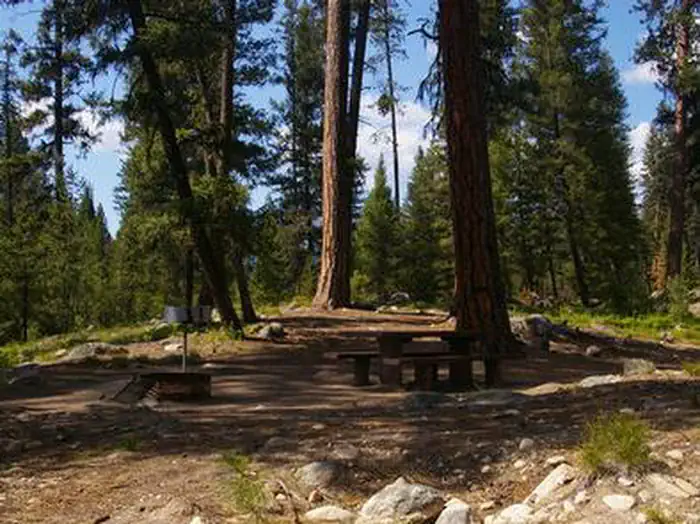
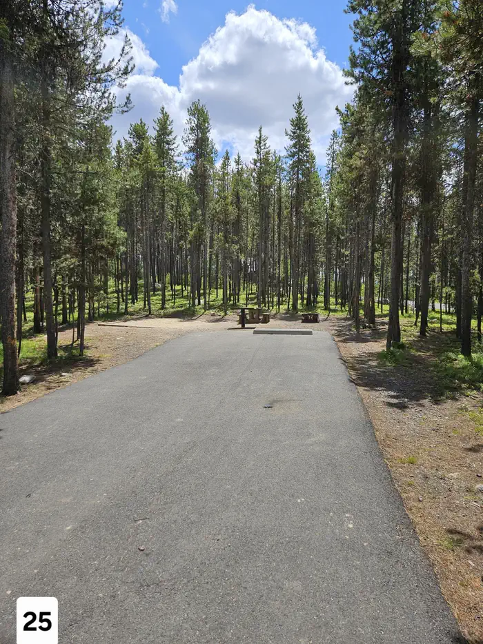
Cabin and lookout rentals nearby
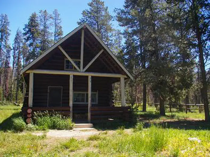
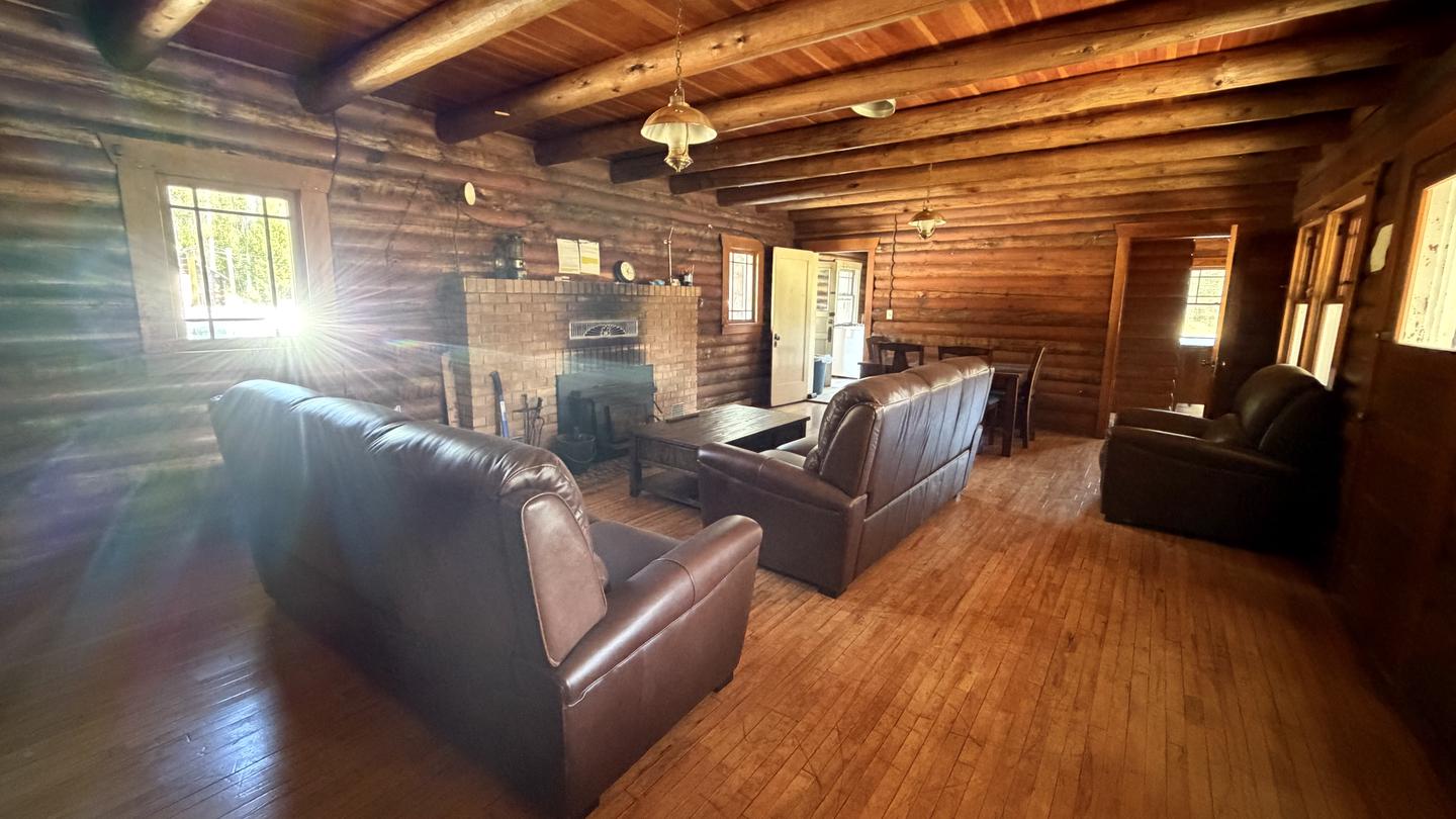
Natural features
The campground sits in a pretty mountain meadow a stone's throw from scenic Johnson Creek, a tributary of the South Fork Salmon River. Wildlife watchers may see deer, elk, bear and moose. Bald eagles are often spotted soaring overhead. Plenty of wildflowers and possible wildlife viewing.
Recreation
Check on the Motor Vehicle Use Map (MVUM) for non-motorized and motorized trails. The area is a popular destination for hikers, mountain bikers and equestrians. The South Fork Salmon River and Johnson Creek offer opportunities for fishing. Berry picking and hunting are popular pastimes in season.
Guidebooks for Idaho
We earn a small commission if you buy through these links. It does not change what we list.

Titles come from Open Library's catalog, matched by subject heading or by title.
Reference
Questions people ask
Do I need a reservation at Penn Basin?
Sites at Penn Basin are reservable on Recreation.gov. No reservations are necessary and there are no fees with 6 campsites that is on a first come, first serve basis. Any walk-up sites are listed on the booking page.
Source: Recreation.gov
How many sites does Penn Basin have?
6 sites, including 6 standard sites without power.
Source: Recreation.gov
Can I bring an RV to Penn Basin?
Penn Basin is listed for tents only.
Source: Recreation.gov
What is there to do at Penn Basin?
Check on the Motor Vehicle Use Map (MVUM) for non-motorized and motorized trails. The Recreation section on this page has the rest.
Source: Recreation
What if Penn Basin is full?
The nearest public campgrounds are Summit Lake Campground (3.3 mi, first-come), Buck Mountain Campground (4 mi, first-come), and Warm Lake (6.7 mi, partly first-come).
Source: Campgrounds nearby