Upper Current District Backcountry Campsites
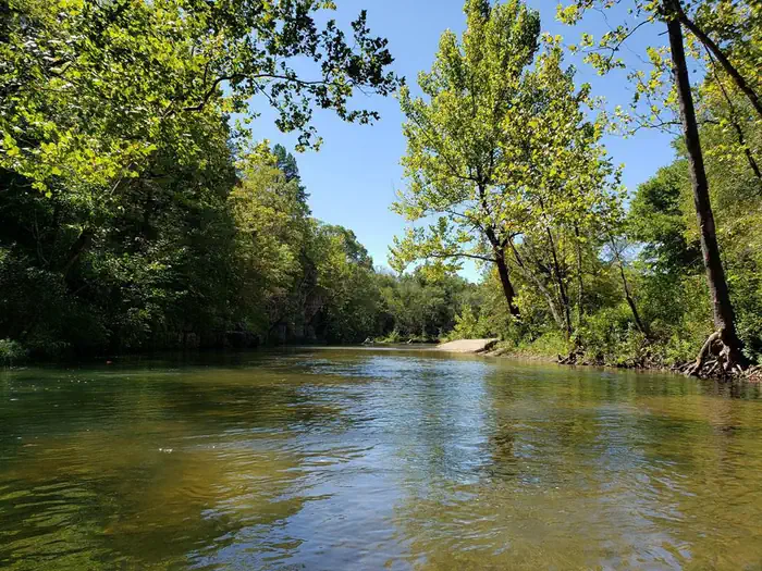
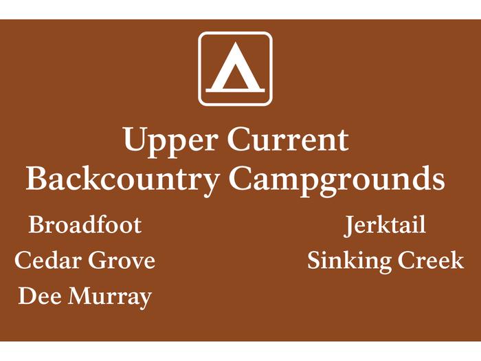
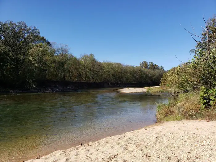
Within Ozark National Scenic Riverways, a "backcountry campground" refers to campgrounds with some basic amenities, but not as many as developed campgrounds. All backcountry sites have picnic tables, fire rings, lantern posts, and vault toilets. These campgrounds may have fewer amenities, but they are some of the most beautiful locations in the park. Certain sites are located right on the river's edge, allowing quick water access. Some sites are far away from other campers, giving you a chance to enjoy natural peace and quiet.
More like this: reservable in Missouri · big rigs in Missouri · pets allowed in Missouri
Check availability on Recreation.gov ↗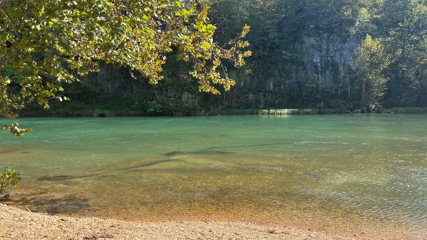
Site mix
| Standard, no hookups | 22 |
| Tent-only | 5 |
Site guide
Will my RV fit
The longest site here provides 45 feet of vehicle capacity. Most sites are shorter.
27 sites in 5 loops. Tap a filter to narrow the list; the map follows.
| Site | Loop | Type | Entry | Fits, ft | Surface | Shade | Water / sewer | Waterfront | People / vehicles | Fires | Rating |
|---|---|---|---|---|---|---|---|---|---|---|---|
| Broadfoot Campground - Site 1 | Broadfoot Campground | Standard | Back-in | 40 | Partial | No / No | Riverfront | 6 / 2 | Yes | Prime | |
| Broadfoot Campground - Site 2 | Broadfoot Campground | Standard | Back-in | 40 | Partial | No / No | Riverfront | 6 / 2 | Yes | Prime | |
| Broadfoot Campground - Site 3 | Broadfoot Campground | Standard | Back-in | 40 | Partial | No / No | Riverfront | 6 / 2 | Yes | Prime | |
| Broadfoot Campground - Site 4 | Broadfoot Campground | Standard | Back-in | 40 | Partial | No / No | Riverfront | 6 / 2 | Yes | Prime | |
| Cedar Grove Campground - Site 1 | Cedar Grove Campground | Standard | Back-in | 30 | Gravel | Partial | No / No | Riverfront | 6 / 2 | Yes | Prime |
| Cedar Grove Campground - Site 2 | Cedar Grove Campground | Standard | Back-in | 30 | Gravel | Partial | No / No | Riverfront | 6 / 2 | Yes | Prime |
| Cedar Grove Campground - Site 3 | Cedar Grove Campground | Standard | Back-in | 30 | Gravel | Partial | No / No | Riverfront | 6 / 2 | Yes | Prime |
| Cedar Grove Campground - Site 4 | Cedar Grove Campground | Standard | Back-in | 30 | Gravel | Partial | No / No | Riverfront | 6 / 2 | Yes | Prime |
| Cedar Grove Campground - Site 5 | Cedar Grove Campground | Standard | Back-in | 30 | Gravel | Partial | No / No | Riverfront | 6 / 2 | Yes | Prime |
| Cedar Grove Campground - Site 6 | Cedar Grove Campground | Standard | Back-in | 30 | Gravel | Partial | No / No | Riverfront | 6 / 2 | Yes | Prime |
Per-site records as published by the managing agency on Recreation.gov. Blank cells mean the agency listed nothing for that site. Check-in 1:00 PM, checkout 12:00 PM.
Amenities & rules
| Hookups | None |
| Max vehicle length | 45 ft |
| Equipment | RVs & trailers, Tents |
| Pets | Allowed |
| Campfires | Allowed, subject to restrictions |
The backcountry campgrounds have vault toilets available. Picnic tables, fire rings and lantern posts are provided at each campsite.
Individual sites vary. Confirm on Recreation.gov or with the managing office.
Weather by month
Getting there
CEDAR GROVE. Physical Address. NPS Road 154 Current Township, MO 65501. Directions. Cedar Grove Campground is located about 10 minutes from Jadwin, Missouri. Starting in Jadwin, drive west on State Highway ZZ. Follow this road for roughly 5.3 miles.
| Nearest town | Van Buren, Missouri |
| Area | Recreation.gov lists no exact point for this campground. The recreation area is at 37.14° N, 91.26° W. Call the office before you drive. |
Good to know
- Please download the Recreation.gov app before starting your journey to the backcountry sites, as cell service can be limited or simply non existent in these remote areas of the park.
Explore
Video
Don't Reserve Campsites - Do This Instead
Natural features
The Ozark National Scenic Riverways protects 134 miles of the Current and Jacks Fork Rivers and some 80,000 acres of river, forest, open field and glade environments. Riparian habitats are a major component of the park. Typified by sycamores, maples, cottonwoods and willows, floodplain forests line the rivers. These provide habitat for Swainson's warblers, wood ducks, great blue herons and a wide variety of other species. As a significant karst resource, the park contains the world's largest collection of first magnitude springs. It also contains over 300 known caves, numerous sinkholes and losing streams. The park also contains several "Missouri Natural Areas", parcels set aside due to their unique scenic beauty or scientific value.
Recreation
The Current River flows past the campgrounds, offering excellent floating, fishing, and swimming. Over 130 miles (209 km) of waterways exists within the park. Canoe and kayak rentals and outfitters can be found nearby. Several miles of hiking and horseback riding trails crisscross the region.
Nearby
Round Spring Cave is nearby, with ranger-guided tours offered daily during summer months. Historic and picturesque Alley Mill and Alley Spring are also nearby. The mill is open daily in the summer and ranger-guided tours are available upon request. Scenic Big Spring is the largest freshwater spring in North America and produces an outflow of 280 million gallons a day.
Guidebooks for Missouri
We earn a small commission if you buy through these links. It does not change what we list.
Titles come from Open Library's catalog, matched by subject heading or by title.
Reference
Questions people ask
Do I need a reservation at Upper Current District Backcountry Campsites?
Sites at Upper Current District Backcountry Campsites are reservable on Recreation.gov. Any walk-up sites are listed on the booking page.
Source: Recreation.gov
What time is check-in at Upper Current District Backcountry Campsites?
Check-in 1:00 PM, checkout 12:00 PM.
Source: Recreation.gov
How many sites does Upper Current District Backcountry Campsites have?
27 sites, including 22 standard sites without power and 5 tent-only sites.
Source: Recreation.gov
Will my RV fit at Upper Current District Backcountry Campsites?
The longest site here provides 45 feet of vehicle capacity. Most sites are shorter. The sidebar tool checks a trailer or motorhome length against every site.
Source: Will my RV fit
Are pets allowed at Upper Current District Backcountry Campsites?
Yes, pets are allowed at Upper Current District Backcountry Campsites. Leash rules apply.
Source: Recreation.gov
Can I have a campfire at Upper Current District Backcountry Campsites?
Fires are allowed in the provided rings under normal conditions.
Source: Recreation.gov
What is there to do at Upper Current District Backcountry Campsites?
The Current River flows past the campgrounds, offering excellent floating, fishing, and swimming. The Recreation section on this page has the rest.
Source: Recreation
What is the nearest town to Upper Current District Backcountry Campsites?
Van Buren, Missouri. Round Spring Cave is nearby, with ranger-guided tours offered daily during summer months.
Source: Getting there
Which national park is Upper Current District Backcountry Campsites in?
Upper Current District Backcountry Campsites is a Ozark National Scenic Riverways campground. Entrance fees, alerts, and hours are on Park Atlas.
Source: Ozark National Scenic Riverways