Lmuma Creek
The gentle Yakima River winds for 27 miles through massive basalt cliffs and rolling desert hills between Ellensburg and Yakima, Washington. The Canyon offers excellent wildlife watching, plant viewing, fishing in a Blue Ribbon trout stream, family river rafting and camping. The Bureau of Land Management administers over 9700 acres in the Yakima River Canyon area, including five developed river access sites. Hookups and potable water are not provided. The recreation sites are open year round, with the largest crowds filling the sites on hot summer weekends.
More like this: reservable in Washington · pets allowed in Washington
Check availability on Recreation.gov ↗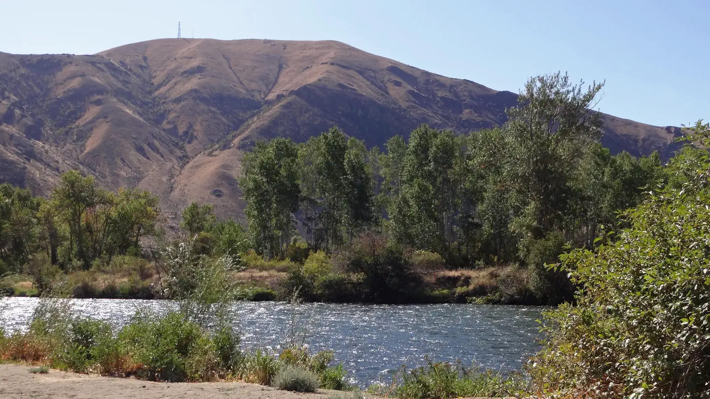
Site mix
| Standard, no hookups | 7 |
Site guide
7 sites. Tap a filter to narrow the list; the map follows.
| Site | Fits, ft | Surface | Shade | Water / sewer | Waterfront | People / vehicles | Fires | Rating |
|---|---|---|---|---|---|---|---|---|
| Site 01 | 19 | Gravel | Partial | No / No | Riverfront | 10 / 2 | Yes | Basic |
| Site 02 | 40 | Gravel | Partial | No / No | Riverfront | 10 / 2 | Yes | Basic |
| Site 03 | 40 | Gravel | Partial | No / No | Riverfront | 10 / 2 | Yes | Basic |
| Site 04 | 32 | Gravel | Partial | No / No | Riverfront | 10 / 2 | Yes | Basic |
| Site 05 | 20 | Gravel | Partial | No / No | Riverfront | 10 / 2 | Yes | Basic |
| Site 06 | 25 | Gravel | Partial | No / No | Riverfront | 10 / 2 | Yes | Basic |
| Site 07 | 29 | Gravel | Partial | No / No | Riverfront | 10 / 2 | Yes | Basic |
Per-site records as published by the managing agency on Recreation.gov. Blank cells mean the agency listed nothing for that site. Check-in 2:00 PM, checkout 11:00 AM.
Amenities & rules
| Hookups | None |
| Max vehicle length | 20 ft |
| Equipment | RVs & trailers, Tents |
| Pets | Allowed |
| Campfires | Allowed, subject to restrictions |
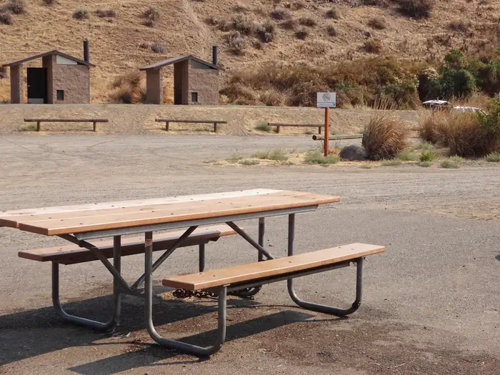
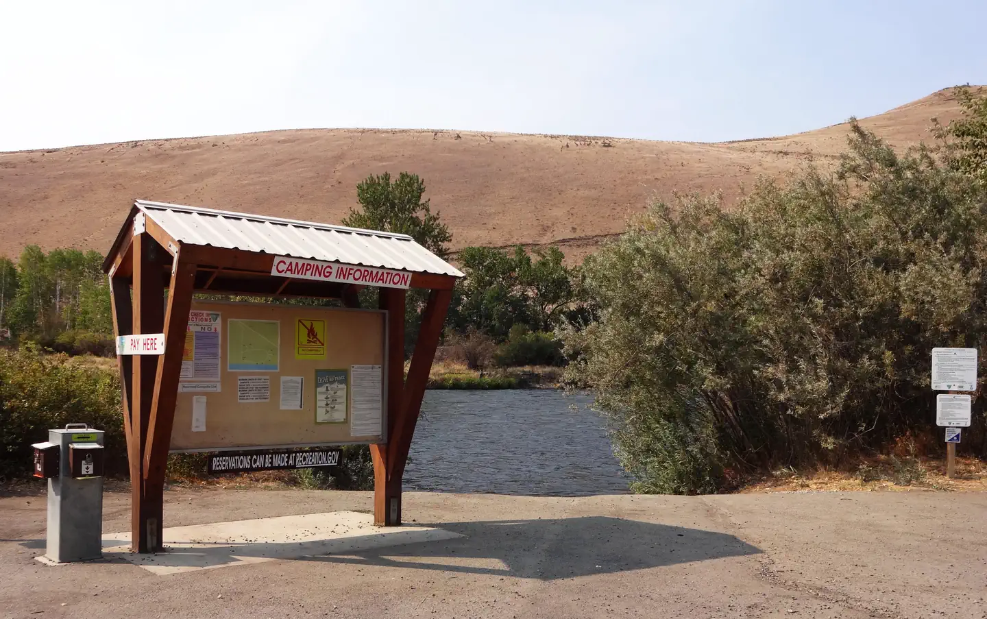
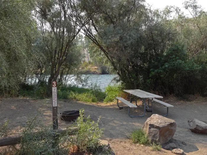
Lmuma Creek is the smallest river access site the BLM manages in the Yakima River Canyon. It offers both overnight and day use amenities including picnic tables, fire rings, nearby dumpsters, vault toilets and a non-motorized river put in/takeout site.
Individual sites vary. Confirm on Recreation.gov or with the managing office.
Weather by month
Getting there
| Nearest town | Wenatchee, Washington |
| Area | Recreation.gov lists no exact point for this campground. The recreation area is at 46.85° N, 120.48° W. Call the office before you drive. |
Fire nearby
- WildfireAncient Lakes
32 mi from the campground · 15 acres
Distance is to the reported incident point, not the fire edge. Call the managing office before you drive.
Explore
Natural features
The gentle Yakima River winds for 27 miles through massive basalt cliffs and rolling desert hills in the Yakima River Canyon of central Washington. Formed from the slow carving of the Yakima River through the enormous folds (anticlines) in the otherwise nearly "flat" basalt layers of the Columbia Basin, the Yakima River Canyon shelters a range of habitats, making home to a diverse mixture of Eastern Washington flora and fauna. Bighorn sheep, elk and mule deer can often be spotted on the river’s banks, and the canyon’s sheer cliffs and crevices are home to the state’s densest concentration of nesting hawks, eagles and falcons. Over 200 species of birds use the Yakima Canyon for breeding and nesting, as a migration route or a winter residence. A thriving "Blue Ribbon" trout stream, the Yakima is managed for quality catch and release trout fishing, and anglers share the water with summer floaters and rafters. Access to the various recreation sites and river access points is easy, as State Route 821 parallels the river.
Recreation
The Yakima River Canyon is enjoyed all year, by people of all ages. Summers are crowded, with thousands of people floating the Yakima River. Visitors also enjoy camping, picnicking and motorized watercraft use in the half-mile long pool above Roza dam. During the quieter months of spring, fall and winter, popular activities include wildlife viewing, hiking, hunting and fishing.
Nearby
The State Scenic Byway of Highway 821 follows the Yakima River through the canyon running between the cities of Ellensburg and Yakima, WA. Central Washington University, and Cowiche Canyon trails are nearby. Umtanum recreation site offers a footbridge to cross the Yakima River and access to Washington State Department of Fish and Wildlife Lands on the west side of the river.
Guidebooks for Washington
We earn a small commission if you buy through these links. It does not change what we list.
Titles come from Open Library's catalog, matched by subject heading or by title.
Reference
Questions people ask
Do I need a reservation at Lmuma Creek?
Sites at Lmuma Creek are reservable on Recreation.gov. Any walk-up sites are listed on the booking page.
Source: Recreation.gov
What time is check-in at Lmuma Creek?
Check-in 2:00 PM, checkout 11:00 AM.
Source: Recreation.gov
How many sites does Lmuma Creek have?
7 sites, including 7 standard sites without power.
Source: Recreation.gov
Will my RV fit at Lmuma Creek?
The longest site here provides 20 feet of vehicle capacity. Most sites are shorter. The sidebar tool checks a trailer or motorhome length against every site.
Source: Will my RV fit
Are pets allowed at Lmuma Creek?
Yes, pets are allowed at Lmuma Creek. Leash rules apply.
Source: Recreation.gov
Can I have a campfire at Lmuma Creek?
Fires are allowed in the provided rings under normal conditions. As of 2026-10-16, there is 1 active fire within 50 miles, so check current restrictions before you light one.
Source: Fire nearby
What is there to do at Lmuma Creek?
The Yakima River Canyon is enjoyed all year, by people of all ages. The Recreation section on this page has the rest.
Source: Recreation
What is the nearest town to Lmuma Creek?
Wenatchee, Washington. The State Scenic Byway of Highway 821 follows the Yakima River through the canyon running between the cities of Ellensburg and Yakima, WA.
Source: Getting there