John Day River Basin Developed Campgrounds
The Central Oregon Field Office of the Bureau of Land Management oversees four separate fee campgrounds within the John Day River Basin in Central Oregon. Service Creek and Muleshoe Campgrounds are located near Service Creek, Oregon along the John Day River and State Route 207. Big Bend and Lone Pine Campgrounds are located between Kimberly and Monument along the North Fork of the John Day River and State Route 402. The region is rural and tends to be quiet except during spring boating and fall hunting seasons. At around 2,000 feet in elevation, you'll see mostly sage and juniper with the occasional ponderosa pine.
Some sites take reservations on Recreation.gov. Others are first-come, first-served.
More like this: first-come in Oregon · reservable in Oregon · pets allowed in Oregon
Check availability on Recreation.gov ↗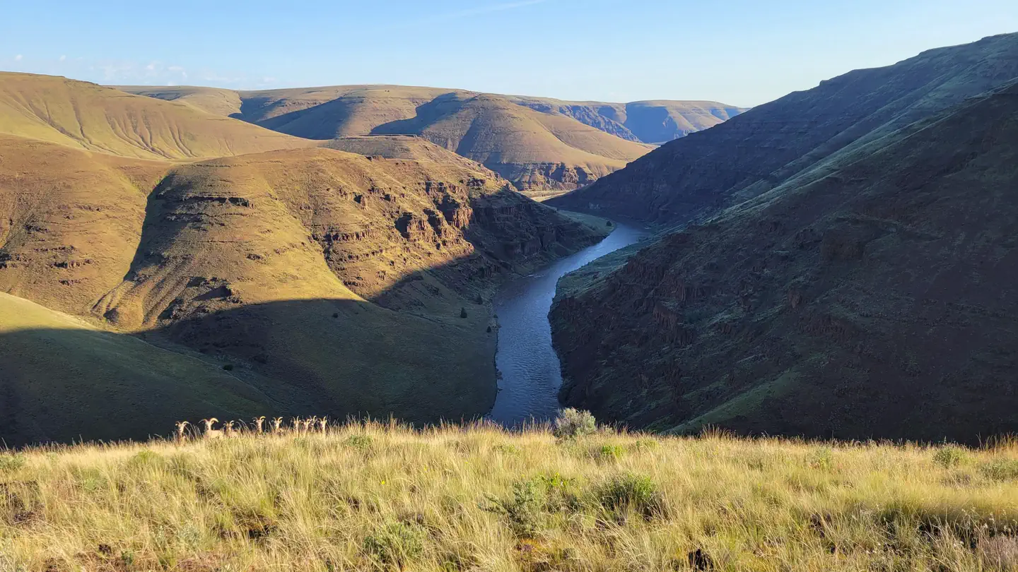
Site mix
| Standard, no hookups | 15 |
| Walk-in | 6 |
Site guide
21 sites in 4 loops. Tap a filter to narrow the list; the map follows.
| Site | Loop | Type | Water / sewer | Waterfront | People / vehicles | Fires |
|---|---|---|---|---|---|---|
| Big Bend -1 | Big Bend | Standard | No / – | Riverfront | 8 / – | Yes |
| Big Bend -2 | Big Bend | Standard | No / – | Riverfront | 8 / – | Yes |
| Big Bend -3 | Big Bend | Standard | No / – | Riverfront | 8 / – | Yes |
| Big Bend -4 | Big Bend | Standard | No / – | Riverfront | 8 / – | Yes |
| Lone Pine -1 | Lone Pine | Standard | No / – | Riverfront | 8 / – | Yes |
| Lone Pine -2 | Lone Pine | Standard | No / – | Riverfront | 8 / – | Yes |
| Lone Pine -3 | Lone Pine | Standard | No / – | Riverfront | 8 / – | Yes |
| Lone Pine -4 | Lone Pine | Standard | No / – | Riverfront | 8 / – | Yes |
| Lone Pine -5 | Lone Pine | Standard | No / – | Riverfront | 8 / – | Yes |
| Muleshoe -1 | Muleshoe | Standard | No / – | Riverfront | 8 / – | Yes |
Per-site records as published by the managing agency on Recreation.gov. Blank cells mean the agency listed nothing for that site.
Amenities & rules
| Pets | Allowed |
| Fees | Fees are $5.00 per site/night plus $2 for each additional vehicle over the first vehicle, excluding towed vehicles. The Scan & Pay option is an additional.50 cents per $10. |
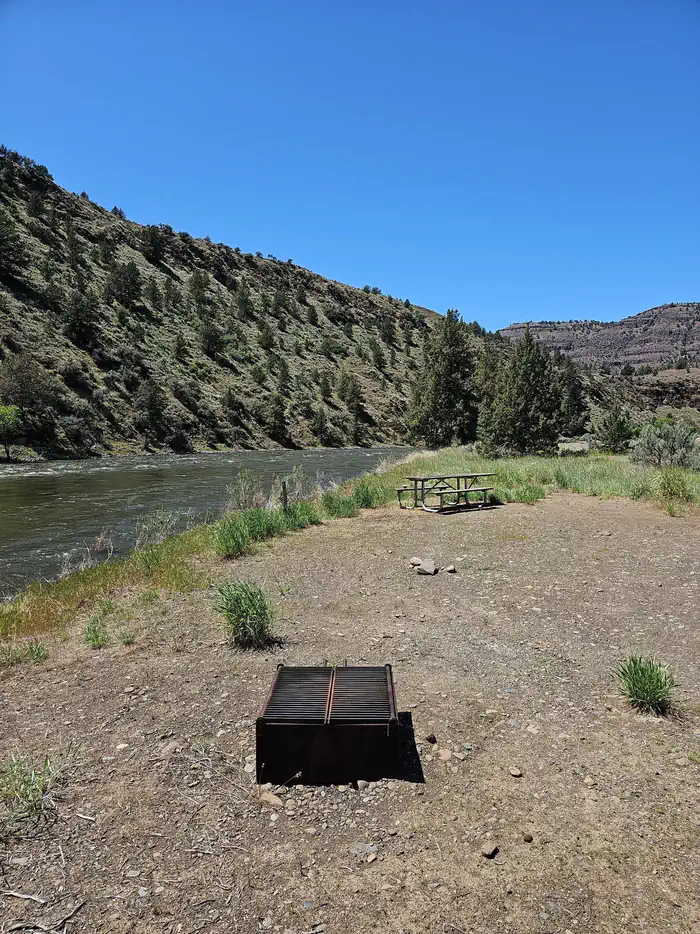
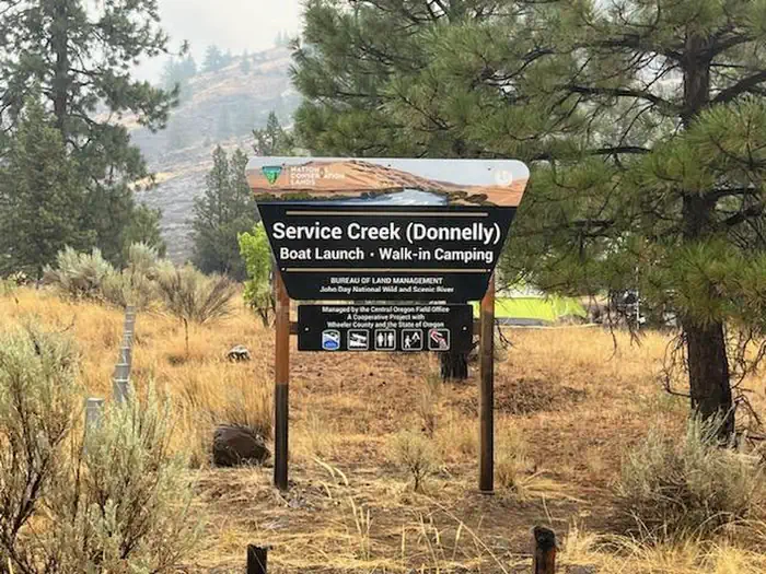
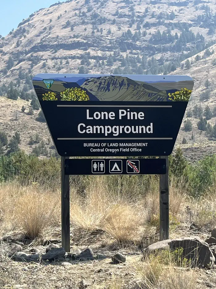
The John Day River Basin Developed Campgrounds are basic in both design and amenities. Each campsite is flat and has a fire ring and picnic table. Each campground has an ADA accessible vault toilet. No garbage collection or drinking water is available at any of the campgrounds. There is no reliable cell phone coverage. Service Creek Campground has four walk-in only tent sites in a one acre area under large ponderosa trees. All sites are close to each other. You must walk your camping equipment into the campsites. Parking is available in a large, open gravel lot. Service Creek is also a boat launch and is a great location to camp the night before a river trip. Boaters often leave trucks with trailers in the parking lot while on the river. The mornings can be busy during spring months with boaters preparing for a multi-day river trip. Muleshoe Campground has six graveled drive-in sites that are flat and overlook the John Day River. They are all close to each other. If you are looking for more privacy, there are two walk-in sites that are a short walk up a hill. Muleshoe also offers a primitive boat launch. Lone Pine Campground has five graveled drive-in sites that are flat.
Individual sites vary. Confirm on Recreation.gov or with the managing office.
Weather by month
Getting there
Service Creek Campground. From Prineville, Oregon, take US 26 east out of town and drive 46.5 miles to OR 207 N. Turn left and drive 23.5 miles. Service Creek Campground and boat launch will be on the right. Muleshoe Campground. From Prineville, Oregon, take US 26 east out of town and drive 46.5 miles to OR 207 N. Turn left and drive 23.8 miles.
| Nearest town | Prineville, Oregon |
| Coordinates | 44.7940° N, 120.0010° W · Directions ↗ |
Good to know
- Once on-site, you can pay for your campsite(s) by scanning the QR code using the Recreation.gov mobile app.
Charges and cancellations
No changes and no refunds are available.
Supplies & services
| RV sales & service | RV sales & service ↗ | 53.2 mi |
Locations © OpenStreetMap contributors. Call ahead; hours change seasonally.
Explore
Video
Grant County RV Park, John Day, Oregon 9/16/22
Worth a stop
- John Day Fossil Beds National Monument
- Fossil Museum
- 13.9 miShady Grove Picnic Area ↗Day use
Public land it sits in
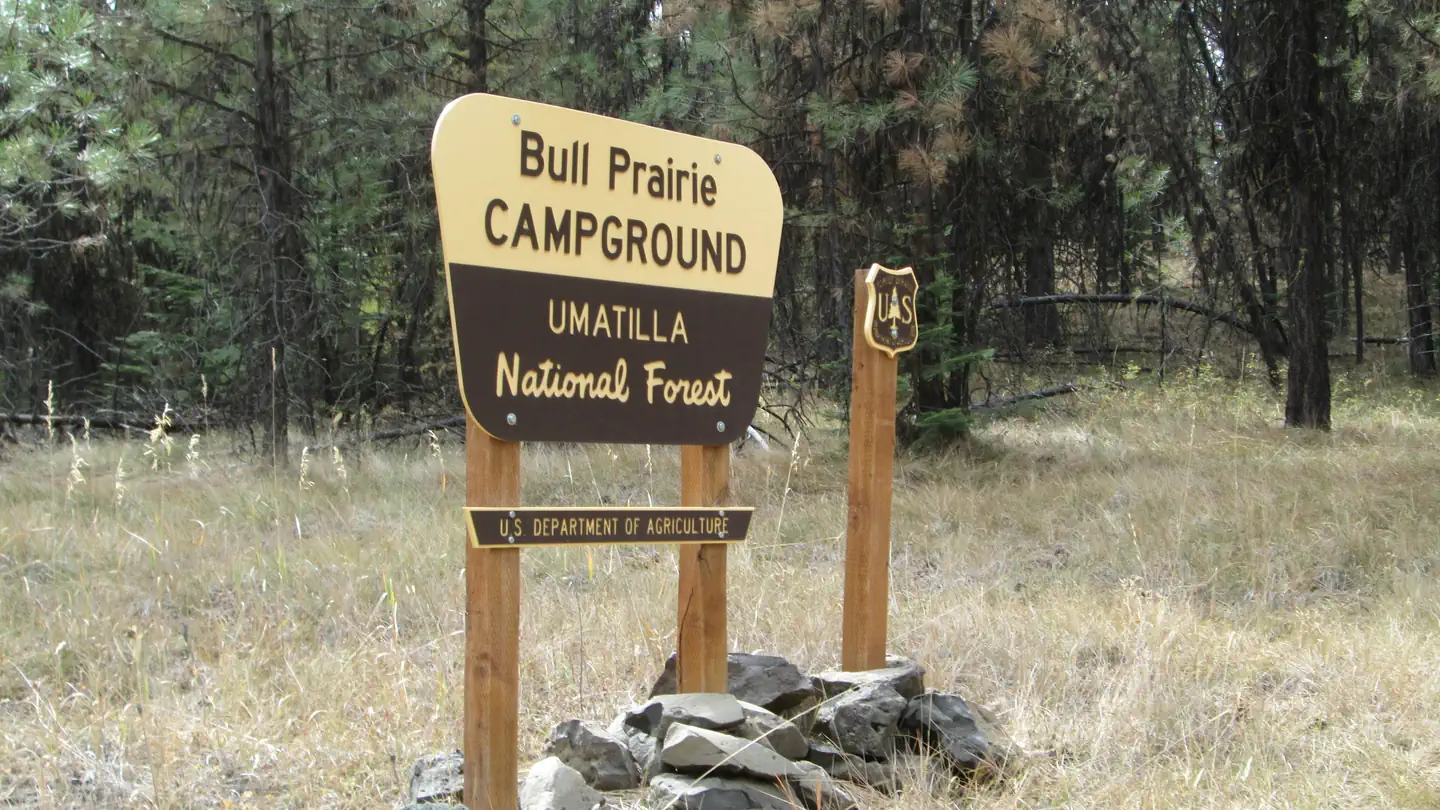
Umatilla National Forest begins about 8 miles away, and it is the closest of these.
- 8 miUmatilla National Forest ↗National Forest · Forest Service · 1,498,100 acres
- 14.3 miOchoco National Forest ↗National Forest · Forest Service · 912,775 acres
Each unit is published as a centre point and an acreage rather than a boundary, so this section stands it in for a circle of the same area. Whether a campground is inside, and how far it is from one it is outside, are both approximate.
Other campgrounds nearby

Cabin and lookout rentals nearby
Natural features
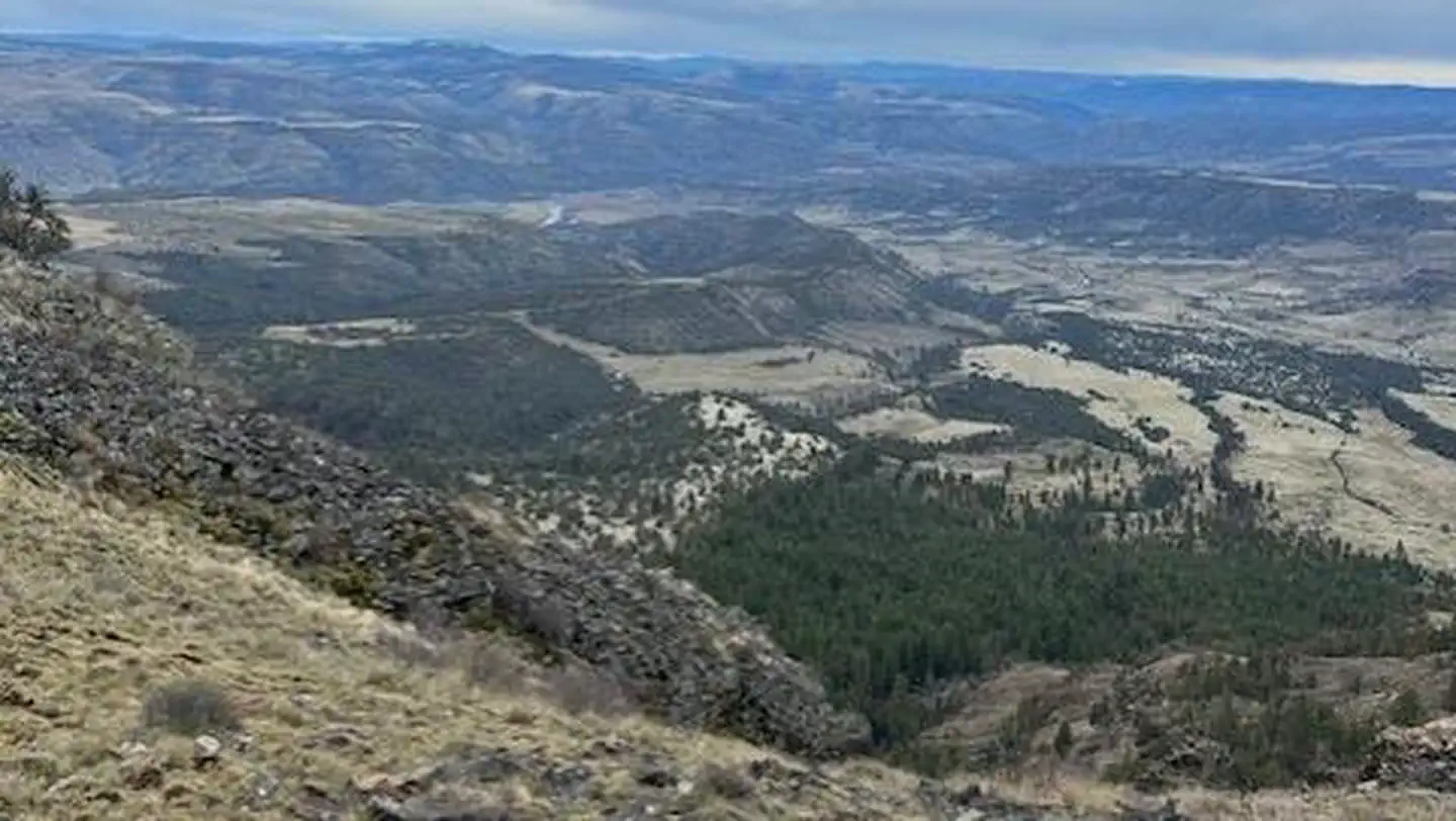
All four campgrounds are on the river with the road nearby. Be ready for goregous views of desert landscapes with steep hillsides and dark night skies. Without a dam to tame its waters, the river changes drastically from still pools in the summer to a cold and brown torrent in the spring. Juniper trees and the occasional ponderosa pine will provide shade and shelter from hot summer sun and canyon winds.
Recreation
Many travelers visit this region along the Journey Through Time Scenic Byway. Beginning in Biggs and ending in Baker City, Oregon, the Scenic Byway travels 286 miles through northcentral and eastern Oregon. John Day River Basin Developed Campgrounds make for a great resting point along this scenic and historic journey. They are also well situated if you are interested in visiting the John Day Fossil Beds National Monument. The John Day River Basin is well known for its river related activities. These include fishing, boating, photography, wildlife viewing, camping, and simply relaxing by the river. The spring snowmelt attracts boaters from around the country. Both Service Creek and Muleshoe serve as common entry points to boat the Wild and Scenic section of the John Day River. A permit is required year-round to boat between Service Creek and Tumwater Falls.
Guidebooks for Oregon
We earn a small commission if you buy through these links. It does not change what we list.

Titles come from Open Library's catalog, matched by subject heading or by title.
Reference
Questions people ask
Do I need a reservation at John Day River Basin Developed Campgrounds?
For some sites. Some sites take reservations on Recreation.gov. Others are first-come, first-served.
Source: Recreation.gov
How much does it cost to camp at John Day River Basin Developed Campgrounds?
Fees are $5.00 per site/night plus $2 for each additional vehicle over the first vehicle, excluding towed vehicles. The Scan & Pay option is an additional.50 cents per $10.
Source: Recreation.gov
How many sites does John Day River Basin Developed Campgrounds have?
21 sites, including 15 standard sites without power and 6 walk-in sites.
Source: Recreation.gov
Are pets allowed at John Day River Basin Developed Campgrounds?
Yes, pets are allowed at John Day River Basin Developed Campgrounds. Leash rules apply.
Source: Recreation.gov
What is there to do at John Day River Basin Developed Campgrounds?
Many travelers visit this region along the Journey Through Time Scenic Byway. The Recreation section on this page has the rest.
Source: Recreation
What is the nearest town to John Day River Basin Developed Campgrounds?
Prineville, Oregon. John Day Fossil Beds National Monument
Source: Getting there
What if John Day River Basin Developed Campgrounds is full?
The nearest public campgrounds are Fairview Campground (18.1 mi, first-come), Bull Prairie Campground (20.7 mi, partly first-come), and Barnhouse Campground (22.7 mi, first-come).
Source: Campgrounds nearby