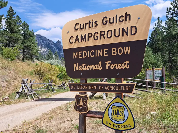
Curtis Gulch Campground
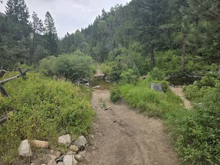
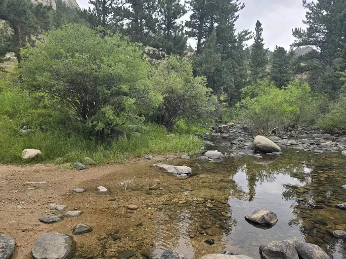
Curtis Gulch Campground sits at an elevation of 6,640 feet, at the end of the long and scenic LaBonte Canyon. There are 6 sites along a bend in the creek with picnic tables, fire rings, pedestal grills, a vault toilet, pump water well, and trash bins.
More like this: reservable in Wyoming · big rigs in Wyoming · pets allowed in Wyoming
Check availability on Recreation.gov ↗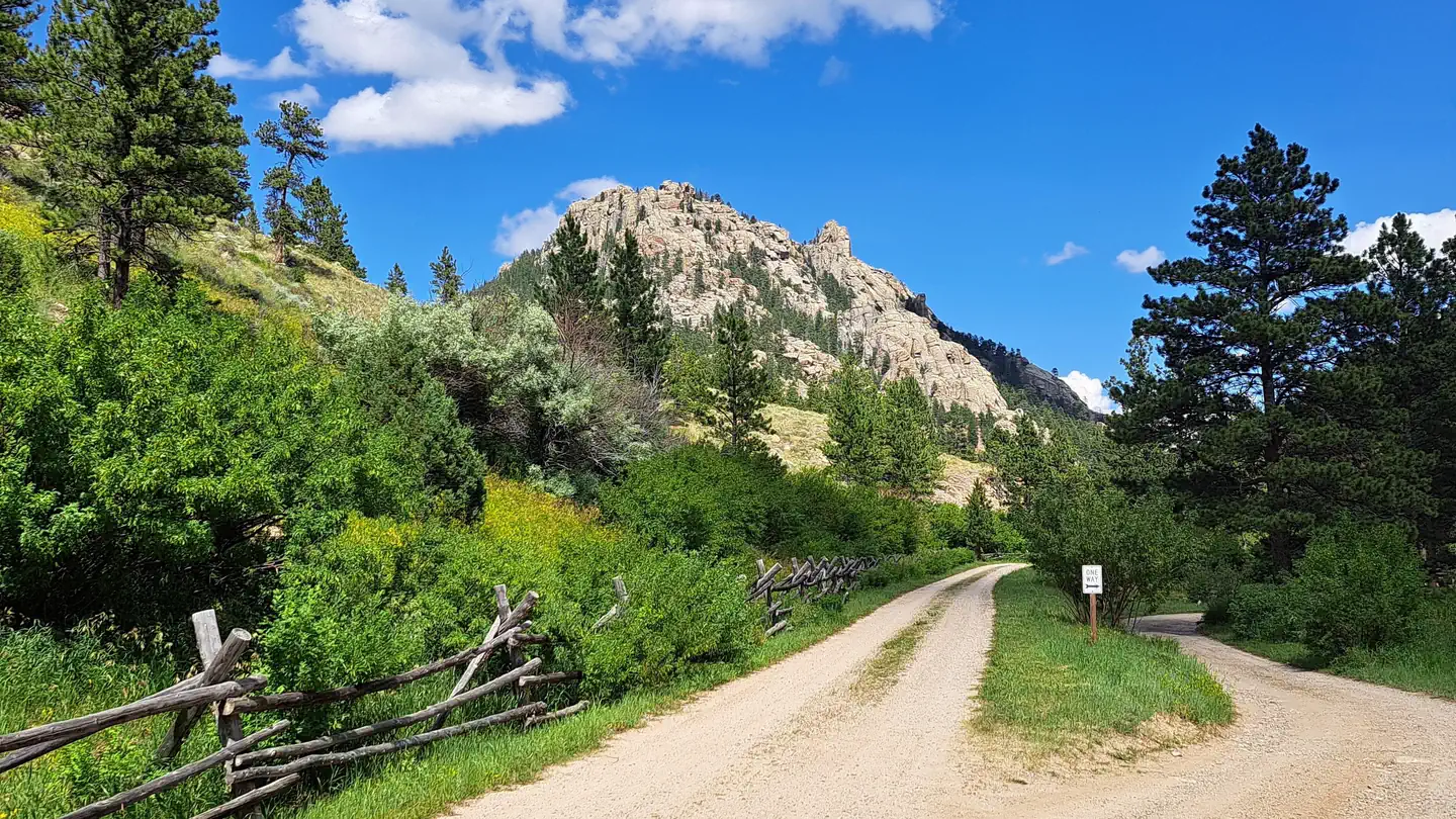
Site mix
| Standard, no hookups | 6 |
Site guide
6 sites. Tap a filter to narrow the list; the map follows.
| Site | Entry | Fits, ft | Surface | Shade | Water / sewer | People / vehicles | Fires | Rating |
|---|---|---|---|---|---|---|---|---|
| 1 | Back-in | Gravel | Partial | No / – | 8 / 2 | Yes | Standard | |
| 2 | Back-in | Gravel | Partial | No / – | 8 / 2 | Yes | Standard | |
| 3 | Back-in | 37 | Gravel | Partial | No / – | 8 / 2 | Yes | Standard |
| 4 | Pull-through | 55 | Gravel | Partial | No / – | 8 / 2 | Yes | Standard |
| 5 | 28 | Gravel | Partial | No / – | 8 / 2 | Yes | Standard | |
| 6 | Back-in | 36 | Gravel | Partial | No / – | 8 / 2 | Yes | Standard |
Per-site records as published by the managing agency on Recreation.gov. Blank cells mean the agency listed nothing for that site. Check-in 2:00 PM, checkout 1:00 PM.
Amenities & rules
| Hookups | None |
| Max vehicle length | 55 ft |
| Equipment | RVs & trailers, Tents |
| Pets | Allowed |
| Campfires | Allowed, subject to restrictions |
| Fees | $14/night |
There are 6 sites tucked into a bend of the LaBonte Creek with picnic tables, fire rings, pedestal grills, a vault toilet, pump water well, and trash bins.
Individual sites vary. Confirm on Recreation.gov or with the managing office.
Season & status
| Status | Closed for the season. Forest Service sites close for the season; check the official page for the reopening date. |
| Season | June to October |
| Forest | Medicine Bow-Routt NFs and Thunder Basin NG |
| Booking | recreation.gov |
| Fees | $14 per site |
| Rules | No horses in the campground. |
Medicine Bow-Routt NFs and Thunder Basin NG recreation page ↗
Weather by month
Getting there
From Douglas WY (30 miles), Take State Highway 91 west then south from Douglas for 22 miles, Converse County Road 16. continuing as Albany County Road 61 south for 14 miles, and east on Forest Road #658 for 4 miles. The pavement ends about 25 miles outside of Douglas and is gravel the remainder of the way, but is easily accessible by car when dry.
| Nearest town | Douglas, Wyoming |
| Coordinates | 42.4074° N, 105.6230° W · Directions ↗ |
Charges and cancellations
If I book this reservation today, what are my options to change or cancel? Please remember that reservations at these facilities prevent other visitors from using these sites. Changes If your new stay dates are completely different from your original stay dates, there is a $10 change fee (per reserved site). There are no additional fees for: Adding or removing nights to your stay. Changing to a different campsite. Balances will adjust based on your new stay's nightly rate. Cancellations You can cancel the reservation any time before the date of your scheduled arrival. You will receive a refund for your stay, minus the following fees: $10 cancellation fee Any reservation fees (only if paid when booking) Any previous change fees Late cancellation penalties may also apply: What is “Late”? For individual campsites, a late cancellation applies starting from midnight 1 calendar day before your scheduled check-in.
Fire nearby
- WildfireChalk Mountain
45 mi from the campground · 124 acres · 91% contained
Distance is to the reported incident point, not the fire edge. Call the managing office before you drive.
Supplies & services
| Dump station | Dump station ↗ | 33 mi |
| Outdoor gear | Sportsman's Warehouse ↗ | 45.1 mi |
Locations © OpenStreetMap contributors. Call ahead; hours change seasonally.
Explore
Video
Curtis Gulch Campground | Joyce's Treks
Worth a stop
LaBonte Creek and Toltec Reservoir offer anglers many fishing opportunities. Brumley FSRD 690, Devil's Pass FSRD 610, and the FSTR 635 S Fork LaBonte trails offer OHV riders additional areas to explore.
- 12.6 miLaramie Peak Trailhead ↗Trailhead
Trails nearby
- under 0.1 miLabonte Canyon Trail4.4 mi trail · hiking, horse, bike, motorcycle and 2 more
- 0.2 miCurtis Gulch Trail2.1 mi trail · hiking, horse, bike
- 0.5 miBig Bear Canyon3.7 mi trail · hiking, horse, bike, motorcycle and 2 more
- 1.6 miSawtooth Mountain3 mi trail · hiking, horse, bike, motorcycle and 2 more
- 2.2 miSouth Fork Labonte2.3 mi trail · hiking, horse, bike, motorcycle and 2 more
- 2.9 miSawtooth Mountain Spur A0.5 mi trail · hiking, horse, bike, motorcycle and 2 more
Trailheads within three miles
- 0.1 miCurtis Gulch Trailhead ↗Medicine Bow-Routt NFs and Thunder Basin NG · Season June to October
- 2.6 miLabonte Trailhead ↗Medicine Bow-Routt NFs and Thunder Basin NG · Season June to October
Trail and trailhead records are the Forest Service's. Distances are straight-line to the nearer trail end. Trail conditions are not tracked here.
Other campgrounds nearby
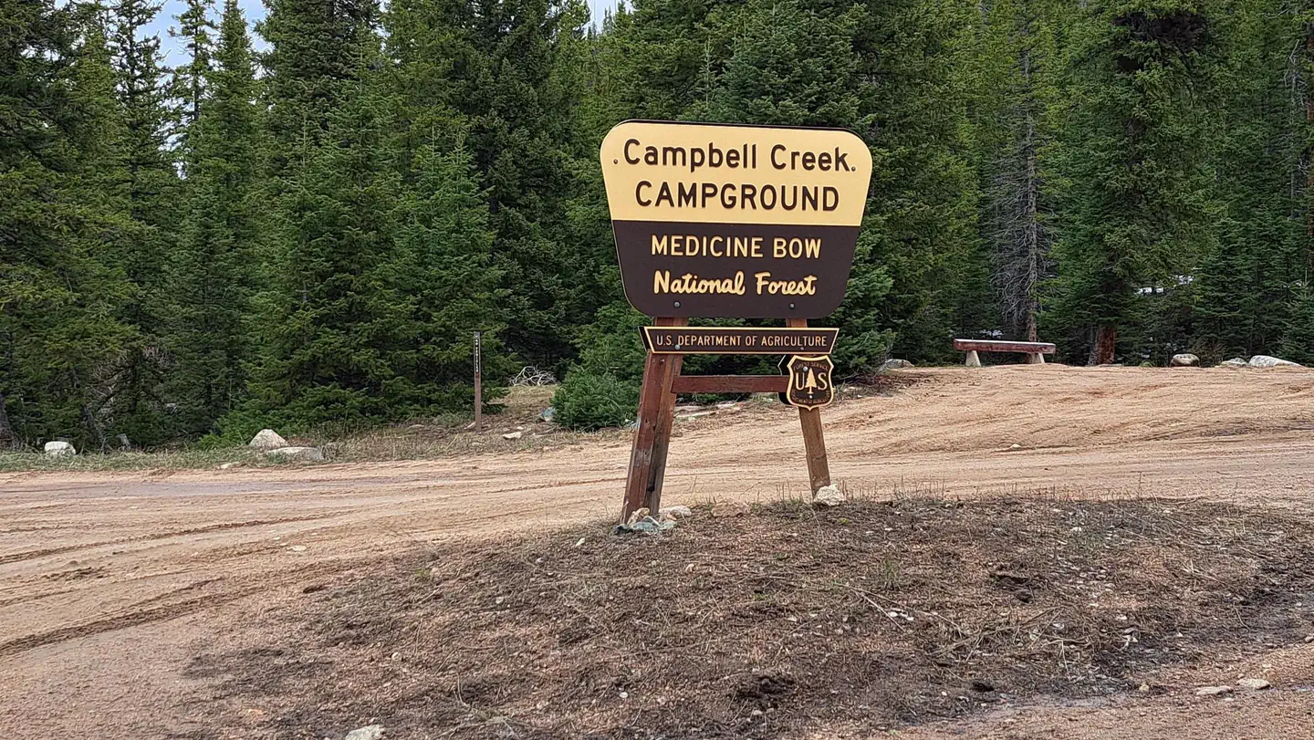
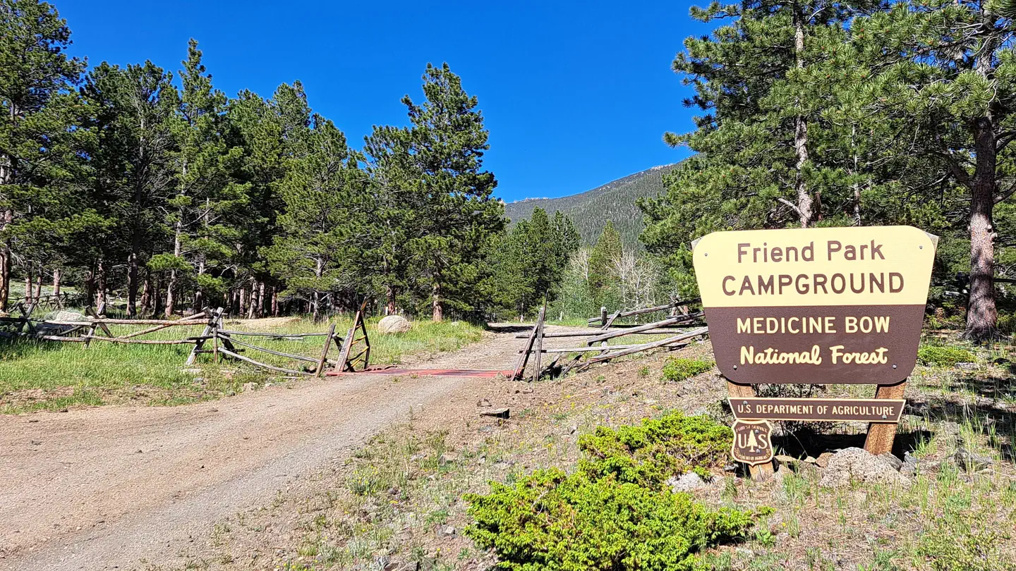
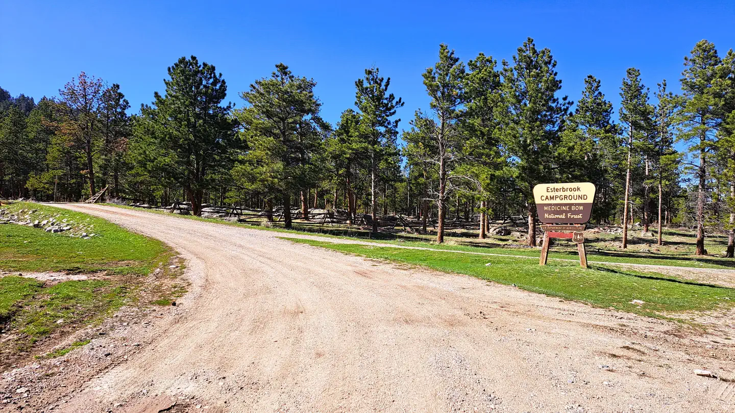
Cabin and lookout rentals nearby
Natural features
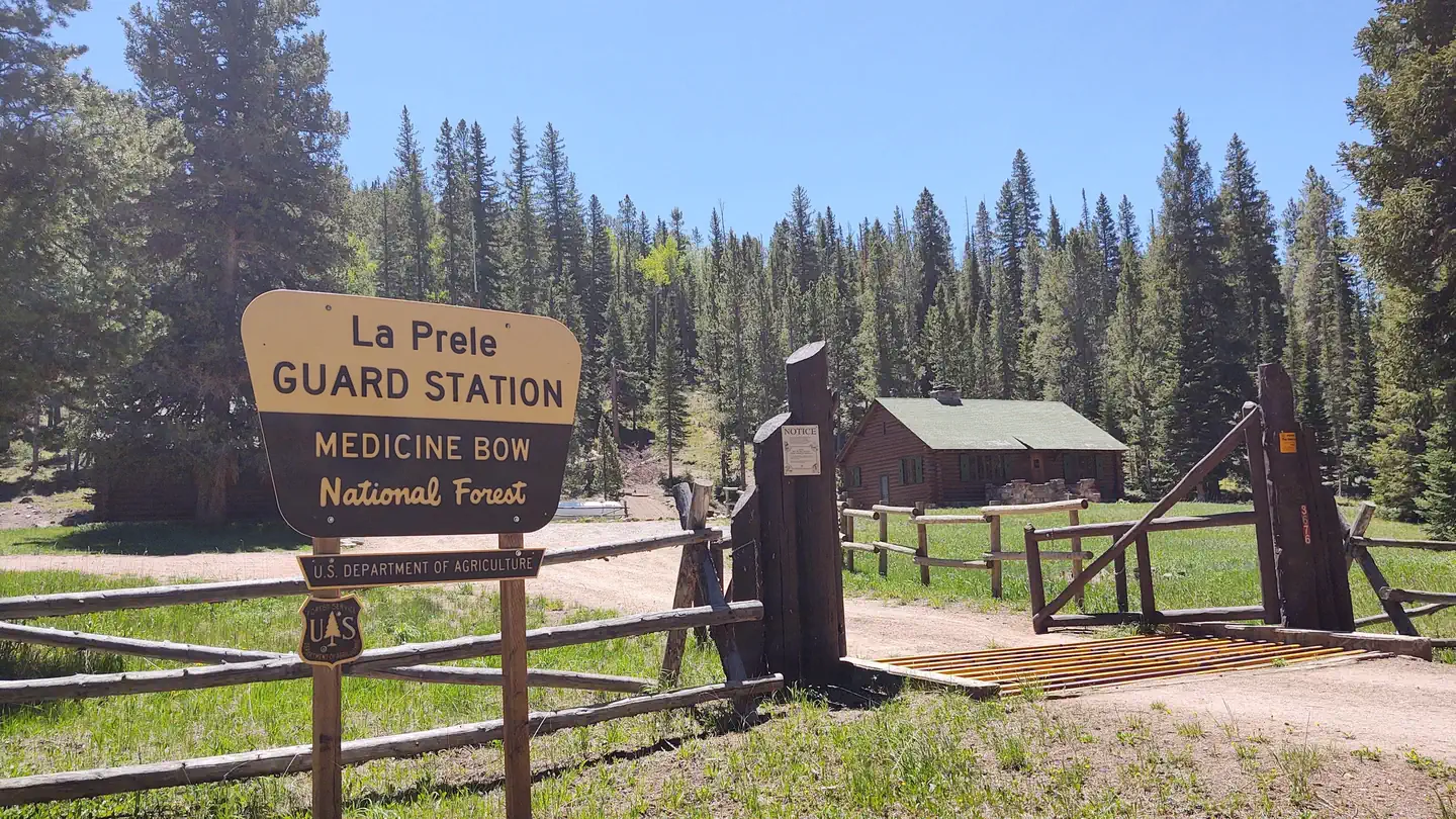
The Curtis Gulch Campground is located at the end of FSRD 658 in LaBonte Canyon. The natural beauty of the steep canyon sides, LaBonte Creek running the length of the entire canyon, and patches of aspen within the mature conifer forest, makes this area one of the most popular and frequently visited on the district.
Recreation
Recreation The canyon bottom is about 6,700 feet in elevation and has granite rock formations for technical rock climbing and photography. LaBonte Creek runs through the entire length of the canyon and offers anglers many opportunities to catch the rainbow trout stocked annually by the WGFD. For OHV riding, the LaBonte Canyon Trail starts at the back of the campground, and The Big Bear Trail System is located just 1/4 mile up the canyon. Both are 50” or less OHV trails but are also commonly used for hiking, biking, and horseback riding. FSRD #610, Devil's Pass, and the South Fork LaBonte Trails to the south offer additional opportunities for adventure. The Curtis Gulch Trail is non-motorized and starts at the trail parking area just outside the campground. The Laramie Peak Unit of the Medicine Bow National Forest is located in Central Wyoming. The Douglas Ranger District manages the Laramie Peak and Thunder Basin National Grasslands. Year-round recreation uses include hiking, fishing, hunting, climbing, OHV riding, dirt bike riding, camping, biking, and horseback trail riding. Primary access across the district is by I-25 and Highway 59.
Guidebooks for Wyoming
We earn a small commission if you buy through these links. It does not change what we list.
Titles come from Open Library's catalog, matched by subject heading or by title.
Reference
Questions people ask
Do I need a reservation at Curtis Gulch Campground?
Sites at Curtis Gulch Campground are reservable on Recreation.gov. recreation.gov Any walk-up sites are listed on the booking page.
Source: Recreation.gov
How much does it cost to camp at Curtis Gulch Campground?
$14/night
Source: Recreation.gov
What time is check-in at Curtis Gulch Campground?
Check-in 2:00 PM, checkout 1:00 PM.
Source: Recreation.gov
What does it cost to cancel a reservation at Curtis Gulch Campground?
You will receive a refund for your stay, minus the following fees: $10 cancellation fee Any reservation fees (only if paid when booking) Any previous change fees Late cancellation penalties may also apply: What is “Late”?
Source: Charges and cancellations
Is Curtis Gulch Campground open right now?
Closed for the season as of Oct 16, 2026. Season June to October.
Source: Forest Service status
How many sites does Curtis Gulch Campground have?
6 sites, including 6 standard sites without power.
Source: Recreation.gov
Will my RV fit at Curtis Gulch Campground?
The longest site here provides 55 feet of vehicle capacity. Most sites are shorter. The sidebar tool checks a trailer or motorhome length against every site.
Source: Will my RV fit
Are pets allowed at Curtis Gulch Campground?
Yes, pets are allowed at Curtis Gulch Campground. Leash rules apply.
Source: Recreation.gov
Can I have a campfire at Curtis Gulch Campground?
Fires are allowed in the provided rings under normal conditions. As of 2026-10-16, there is 1 active fire within 50 miles, so check current restrictions before you light one. No horses in the campground.
Source: Fire nearby
What is there to do at Curtis Gulch Campground?
Recreation The canyon bottom is about 6,700 feet in elevation and has granite rock formations for technical rock climbing and photography. The Recreation section on this page has the rest.
Source: Recreation
What is the nearest town to Curtis Gulch Campground?
Douglas, Wyoming. LaBonte Creek and Toltec Reservoir offer anglers many fishing opportunities.
Source: Getting there
What if Curtis Gulch Campground is full?
The nearest public campgrounds are Campbell Creek Campground (11.4 mi), Friend Park Campground (12.6 mi), and Esterbrook Campground (15.4 mi).
Source: Campgrounds nearby