Markleeville
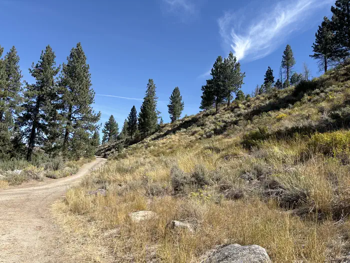
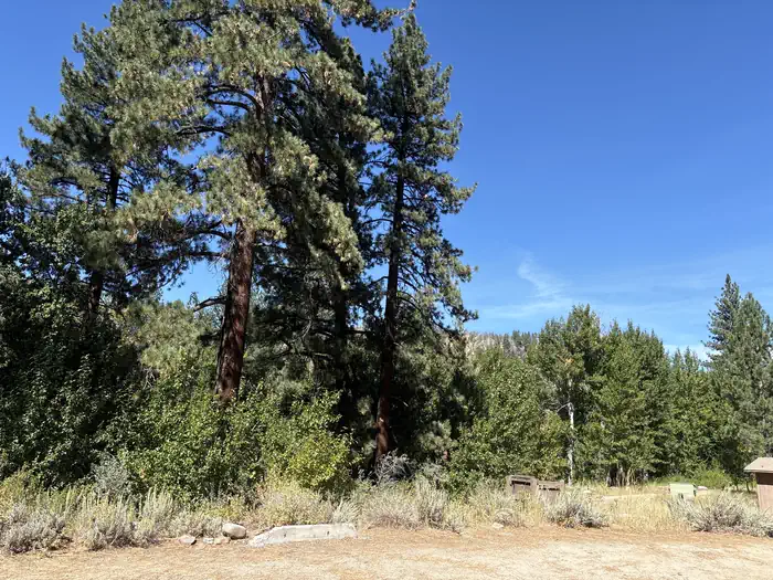
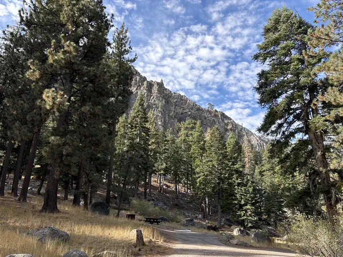
Located on Markleeville Creek, in the shade of Jeffrey Pines and Cottonwood trees.
More like this: reservable in California
Check availability on Recreation.gov ↗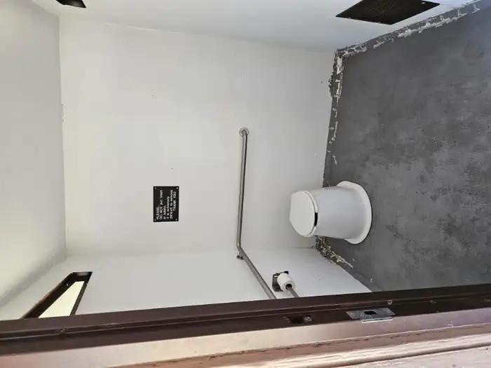
Site mix
| Standard, no hookups | 9 |
Amenities & rules
This campground has camping for tents and small RV (less than 24 ft in length). The campsites offer a picnic table, campfire ring, and food storage lockers. Vault toilets and garbage service is provided. There is currently no potable water.
Individual sites vary. Confirm on Recreation.gov or with the managing office.
Season & status
| Season | April to September |
| Forest | Humboldt-Toiyabe National Forest |
| Booking | No reservations needed, first come, first serve. |
| Fees | Per Day: $26 Single/$6 Extra Vehicle. |
| Rules | No RV's longer than 24 feet. California camp fire permit required ( https://www.fs.usda.gov/detail/htnf/passes-permits/?cid=fseprd673196 ). Dog must be on a leash at campground. |
Getting there
From Carson City or Minden, Nevada. 1. Take Highway 88 approximately 14 miles to the junction with Highway 4/89 at Woodfords, California. 2. Turn left on Highway 4/89, proceed for approximately six miles to the Markleeville Campground entrance on the north side of highway (approximately 1/2 mile past the small town of Markleeville).
| Coordinates | 38.6977° N, 119.7764° W · Directions ↗ |
Fire nearby
- PrescribedTmu Rx Support
19 mi from the campground
Distance is to the reported incident point, not the fire edge. Call the managing office before you drive.
Supplies & services
| Dump station | Dump station ↗ | 17.9 mi |
| Outdoor gear | Tahoe Gear Exchange ↗ | 19.2 mi |
| RV sales & service | Custom Truck Accessories ↗ | 30.4 mi |
Locations © OpenStreetMap contributors. Call ahead; hours change seasonally.
Explore
Worth a stop
- 14.7 miMosquito Lakes Trailhead ↗Trailhead
Trails nearby
- 0.7 miBarney Riley4.3 mi trail · hiking, horse, bike, 4WD
- 2.6 miCharity Valley ↗6.7 mi trail · hiking, horse, bike
- 3 miThornburg Canyon ↗7.5 mi trail · hiking, horse, bike
Trail and trailhead records are the Forest Service's. Distances are straight-line to the nearer trail end. Trail conditions are not tracked here.
Public land it sits in
Mokelumne Wilderness begins about 6.9 miles away, and it is the closest of these.
- 6.9 miMokelumne Wilderness ↗Wilderness · Forest Service · 104,048 acres
- 7.7 miCarson-Iceberg Wilderness ↗Wilderness · Forest Service · 158,147 acres
- 12.2 miEldorado National Forest ↗National Forest · Forest Service · 793,653 acres
Each unit is published as a centre point and an acreage rather than a boundary, so this section stands it in for a circle of the same area. Whether a campground is inside, and how far it is from one it is outside, are both approximate.
Other campgrounds nearby

On the National Register nearby
- Alpine County CourthouseBuilding · Markleeville · 0.3 mi
- Webster Schoolhouse, OldBuilding · Markleeville · 0.4 mi
- Jobs Peak RanchBuilding · Genoa · 14.3 mi
Natural features
The Markleeville campground sits along side Markleeville Creek in the small town of Markleeville, California. The campground is at an elevation of 5500.
Guidebooks for California
We earn a small commission if you buy through these links. It does not change what we list.

Titles come from Open Library's catalog, matched by subject heading or by title.
Reference
Questions people ask
Do I need a reservation at Markleeville?
Sites at Markleeville are reservable on Recreation.gov. No reservations needed, first come, first serve. Any walk-up sites are listed on the booking page.
Source: Recreation.gov
How much does it cost to camp at Markleeville?
Per Day: $26 Single/$6 Extra Vehicle.
Source: Recreation.gov
What time is check-in at Markleeville?
Check-in 02:00 PM, checkout 12:00 PM.
Source: Recreation.gov
How many sites does Markleeville have?
9 sites, including 9 standard sites without power.
Source: Recreation.gov
What if Markleeville is full?
The nearest public campgrounds are Indian Creek Campground (3.5 mi), Centerville Flat Campground (5.4 mi, first-come), and Crystal Springs (5.9 mi).
Source: Campgrounds nearby