Trails End Campground
More like this: reservable in Wyoming
Check availability on Recreation.gov ↗
Site mix
| Standard, no hookups | 8 |
| Host/management | 1 |
Site map
8 campsite locations mapped by OpenStreetMap contributors. The site numbers are theirs and may not match the posts at the campground. Map data © OpenStreetMap contributors, ODbL.
Weather by month
Getting there
| Coordinates | 43.0048° N, 109.7522° W · Directions ↗ |
Supplies & services
| Outdoor gear | The Great Outdoor Shop ↗ | 11.1 mi |
| Dump station | Dump station ↗ | 11.3 mi |
Locations © OpenStreetMap contributors. Call ahead; hours change seasonally.
Explore
Worth a stop
- 1.7 miLong Lake Trailhead ↗Trailhead
- 12.3 miBoulder Lake Boat Ramp ↗Boat launch
Trails nearby
- under 0.1 miPole Creek ↗9.2 mi trail · hiking, horse, bike
- under 0.1 miMiller/Sweeney Cutoff3.4 mi trail · hiking, horse, bike
- 0.1 miWhite Pine-Elkchase2.2 mi trail · snowshoe, ski
- 0.1 miElkchase2.2 mi trail · hiking, horse, bike
- 0.1 miLong Lake ↗4.6 mi trail · hiking, horse
- 1.2 miWhite Pine-Pole Cr Connector0.8 mi trail · snowshoe, ski
Trailheads within three miles
- 0.1 miElkhart - Pine Creek Trailhead ↗Bridger-Teton National Forest
- 0.1 miElkhart - Pole Creek Trailhead ↗Bridger-Teton National Forest
- 1.7 miLong Lake Trailhead ↗Bridger-Teton National Forest
- 1.9 miLower Whitepine Cross Country Ski Trailhead ↗Bridger-Teton National Forest
Trail and trailhead records are the Forest Service's. Distances are straight-line to the nearer trail end. Trail conditions are not tracked here.
Public land it sits in
This campground sits inside Bridger Wilderness, which overlaps Bridger-Teton National Forest.
- inBridger Wilderness ↗Wilderness · Forest Service · 426,751 acres
- inBridger-Teton National Forest ↗National Forest · Forest Service · 3,466,359 acres
- 10.5 miFitzpatrick Wilderness ↗Wilderness · Forest Service · 198,906 acres
Each unit is published as a centre point and an acreage rather than a boundary, so this section stands it in for a circle of the same area. Whether a campground is inside, and how far it is from one it is outside, are both approximate.
Other campgrounds nearby
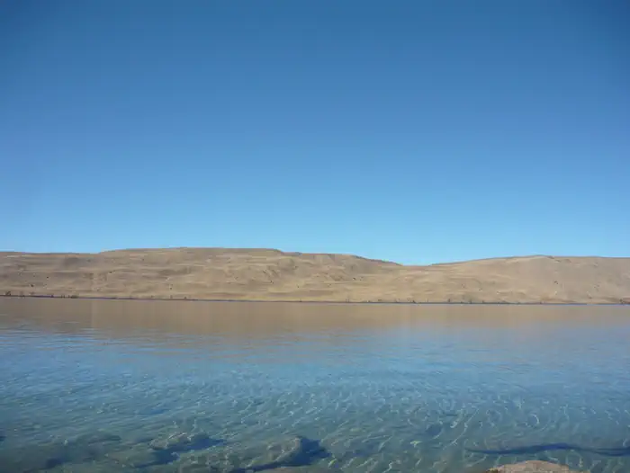
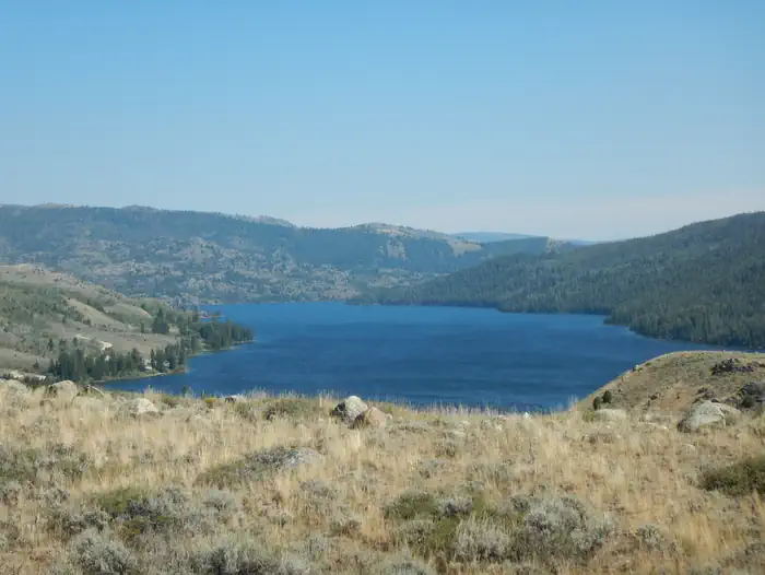

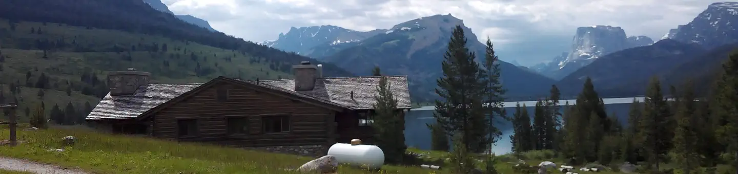
Cabin and lookout rentals nearby
On the National Register nearby
- Log Cabin MotelHistoric district · Pinedale · 10.9 mi
- Cora TownsiteHistoric district · Cora · 12.3 mi
Guidebooks for Wyoming
We earn a small commission if you buy through these links. It does not change what we list.
Titles come from Open Library's catalog, matched by subject heading or by title.
Reference
Questions people ask
Do I need a reservation at Trails End Campground?
Sites at Trails End Campground are reservable on Recreation.gov. Any walk-up sites are listed on the booking page.
Source: Recreation.gov
How many sites does Trails End Campground have?
9 sites, including 8 standard sites without power.
Source: Recreation.gov
What if Trails End Campground is full?
The nearest public campgrounds are Fremont Lake (4.5 mi), Half Moon Lake Campground (4.7 mi, partly first-come), and Willow Lake Campground (7.5 mi).
Source: Campgrounds nearby