Duncan Cabin
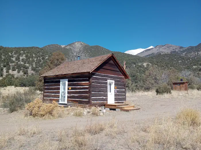
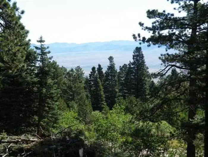
The cabin was constructed in the 1880s. The cabin sits 8,120 feet above sea level beside a small dry stream‐bed. The nearest source of water is Pole Creek which is approximately 1,500 feet from the cabin. The cabin sits on a west‐facing gently sloping grade that looks out onto the San Luis Valley. Although large coniferous trees are located near the cabin, the vegetation is primarily Rabbitbrush, Pinon, and Juniper.
Check availability on Recreation.gov ↗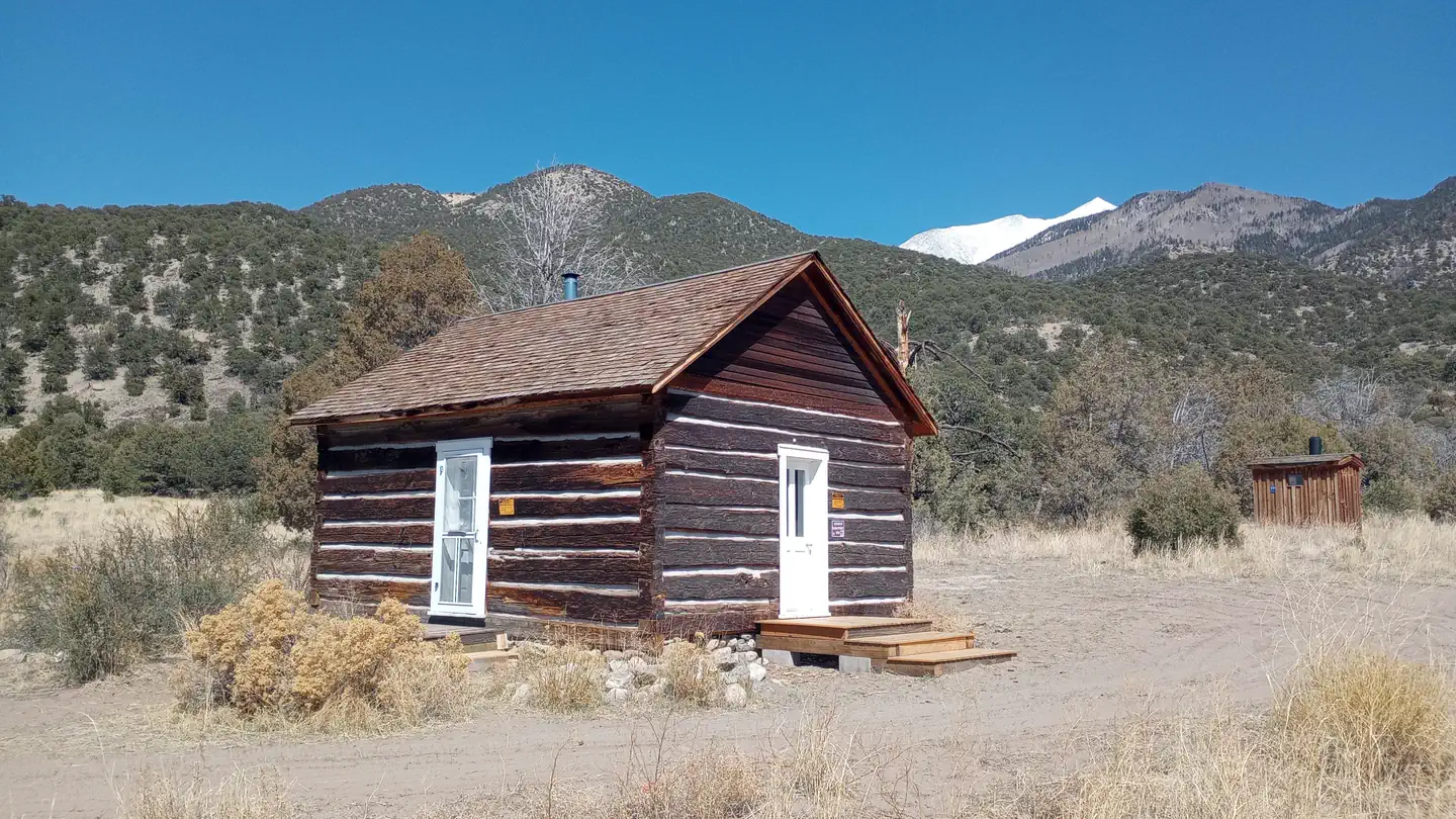
Site mix
| Cabins | 1 |
Site guide
1 site. Tap a filter to narrow the list; the map follows.
| Site | Shade | Water / sewer | People / vehicles | Fires | Rating |
|---|---|---|---|---|---|
| Duncan Cabin | None | No / – | 6 / – | Yes | Standard |
Per-site records as published by the managing agency on Recreation.gov. Blank cells mean the agency listed nothing for that site. Check-in 2:00 PM, checkout 12:00 PM.
Amenities & rules
| Pets | Allowed |
| Campfires | Allowed, subject to restrictions |
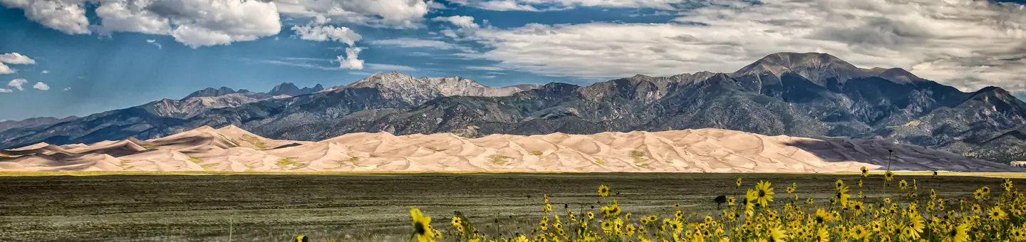
| Dark sky | 5.6 miles from Great Sand Dunes National Park and Preserve, a certified International Dark Sky Park |
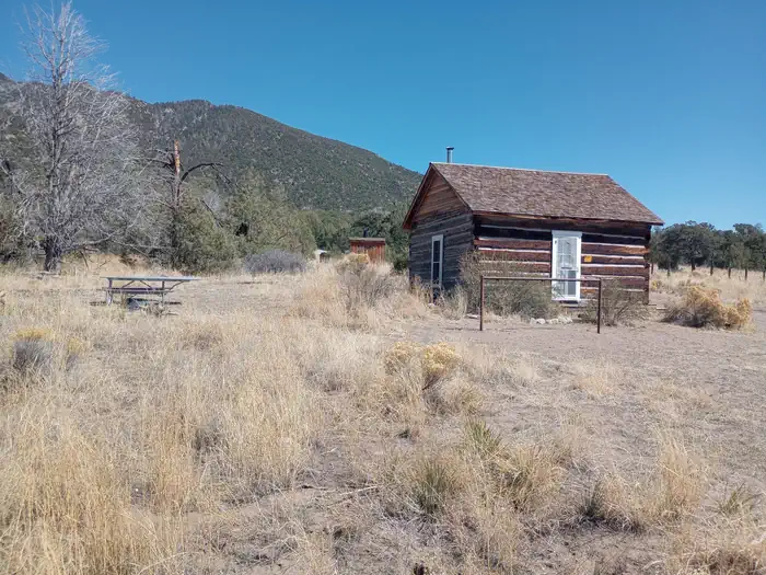
The one-room cabin is furnished with two bunk beds (the top bunk is a single bed, the bottom is a fold-out futon couch that sleeps two) and can accommodate up to 6 people. The cabin has a wood stove, a table and chairs, cooking utensils and some pots and pans. A picnic table, fire pit and an outdoor vault toilet are also on site. There is no electricity and water at the cabin. Water is also available at the Saguache Ranger District Office during business hours from May through November.
Individual sites vary. Confirm on Recreation.gov or with the managing office.
Weather by month
Getting there
Duncan Cabin cab be reached from Moffat, Colorado, on State Highway 17, either 37 miles from Alamosa or 14 miles from the intersection of US Hwy 285 between Saguache and Salida. From Moffat turn towards Crestone (County Road T), for 12 miles. Before getting to Crestone, turn right at Camino Baca Grande Road for 2 miles.
| Nearest town | Saguache, Colorado |
| Coordinates | 37.8741° N, 105.6144° W · Directions ↗ |
Fire nearby
- WildfireAspen Acres
31 mi from the campground · 102,007 acres · 90% contained
Distance is to the reported incident point, not the fire edge. Call the managing office before you drive.
Supplies & services
| Dump station | Dump station ↗ | 10.8 mi |
| Outdoor gear | Kristi's Mountain Sports ↗ | 31.5 mi |
| RV sales & service | Holiday RV ↗ | 50.9 mi |
Locations © OpenStreetMap contributors. Call ahead; hours change seasonally.
Explore
Worth a stop
The Duncan cabin is located in the Rio Grande National Forest 11.8 miles southeast of Crestone, CO. There is a lot of hiking trails in this area. The Great Sand Dunes National Park is also close by.
- 11.2 miGreat Sand Dunes Visitor Center ↗Visitor center
- 11.5 miEntrance Station ↗Visitor center
- 14.6 miAlvarado Trailhead ↗Trailhead
Trails nearby
- 4.5 miCottonwood Creek3.9 mi trail · hiking, horse, bike
Trail and trailhead records are the Forest Service's. Distances are straight-line to the nearer trail end. Trail conditions are not tracked here.
Public land it sits in
Sangre de Cristo Wilderness begins about 0.5 miles away, and it is the closest of these.
- 0.5 miSangre de Cristo Wilderness ↗Wilderness · FS/NPS · 219,891 acres
- 3.7 miGreat Sand Dunes Wilderness ↗Wilderness · National Park Service · 32,643 acres
- 3.8 miBaca National Wildlife Refuge ↗National Wildlife Refuge · Fish and Wildlife Service · 85,815 acres
Each unit is published as a centre point and an acreage rather than a boundary, so this section stands it in for a circle of the same area. Whether a campground is inside, and how far it is from one it is outside, are both approximate.
Other campgrounds nearby

On the National Register nearby
- Creststone SchoolBuilding · Crestone · 9.7 mi
- Superintendent's Residence, Great Sand Dunes National MonumentBuilding · Mosca · 11.6 mi
Natural features
This area also provides habitats for large herds of elk, pronghorn and mule deer. It is also close to the Great Sand Dunes National Park.
Recreation
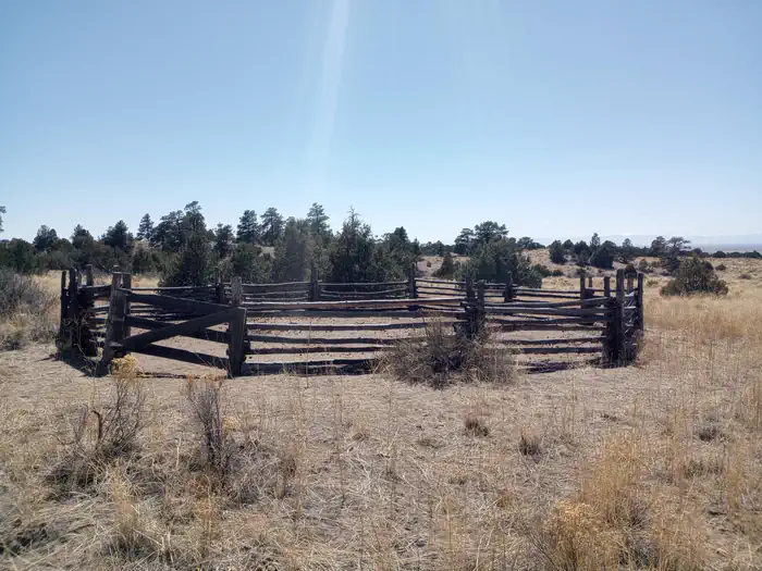
The cabin is a good base camp for horse riding. It does have a corral close to the cabin. It is a good place for hunting, hiking and watching the night sky. It is close to the Great Sand Dunes National Park that is designated as an international Dark Sky Park.
Guidebooks for Colorado
We earn a small commission if you buy through these links. It does not change what we list.



Titles come from Open Library's catalog, matched by subject heading or by title.
Reference
Questions people ask
Do I need a reservation at Duncan Cabin?
Sites at Duncan Cabin are reservable on Recreation.gov. Any walk-up sites are listed on the booking page.
Source: Recreation.gov
What time is check-in at Duncan Cabin?
Check-in 2:00 PM, checkout 12:00 PM.
Source: Recreation.gov
How many sites does Duncan Cabin have?
1 site, including 1 cabin.
Source: Recreation.gov
Are pets allowed at Duncan Cabin?
Yes, pets are allowed at Duncan Cabin. Leash rules apply.
Source: Recreation.gov
Can I have a campfire at Duncan Cabin?
Fires are allowed in the provided rings under normal conditions. As of 2026-10-16, there is 1 active fire within 50 miles, so check current restrictions before you light one.
Source: Fire nearby
Is Duncan Cabin good for stargazing?
Great Sand Dunes National Park and Preserve, a certified International Dark Sky Park, is 5.6 miles away. Skies that dark carry for miles; a moonless night here should show the Milky Way.
Source: DarkSky International
What is there to do at Duncan Cabin?
The cabin is a good base camp for horse riding. The Recreation section on this page has the rest.
Source: Recreation
What is the nearest town to Duncan Cabin?
Saguache, Colorado. The Duncan cabin is located in the Rio Grande National Forest 11.8 miles southeast of Crestone, CO.
Source: Getting there
What if Duncan Cabin is full?
The nearest public campgrounds are Medano Pass Primitive Road Campsites (8.1 mi, first-come), Pinon Flats Campground (10.7 mi), and North Crestone Creek Campground (11 mi, first-come).
Source: Campgrounds nearby