Flint Creek Campground
Flint Creek Campground is located in Beaverhead-Deerlodge National Forest in southwest Montana, eight miles south of the town of Philipsburg and four miles north of Georgetown Lake. The campground's campsites sit amid mixed conifers along the banks of Flint Creek, providing opportunities for fishing and the occasional moose sighting. There are 10 first-come, first-served campsites, and the camping fee is $15 per night.
Sites are first-come, first-served. Recreation.gov lists this campground for paying on site, and you may be able to pay with the Scan and Pay feature of its app.
More like this: first-come in Montana · tent only in Montana

Amenities & rules
| Equipment | Tents |
| Fees | There is a fee of $15.00 per night for this campground, with a $5 fee for each additional vehicle. |
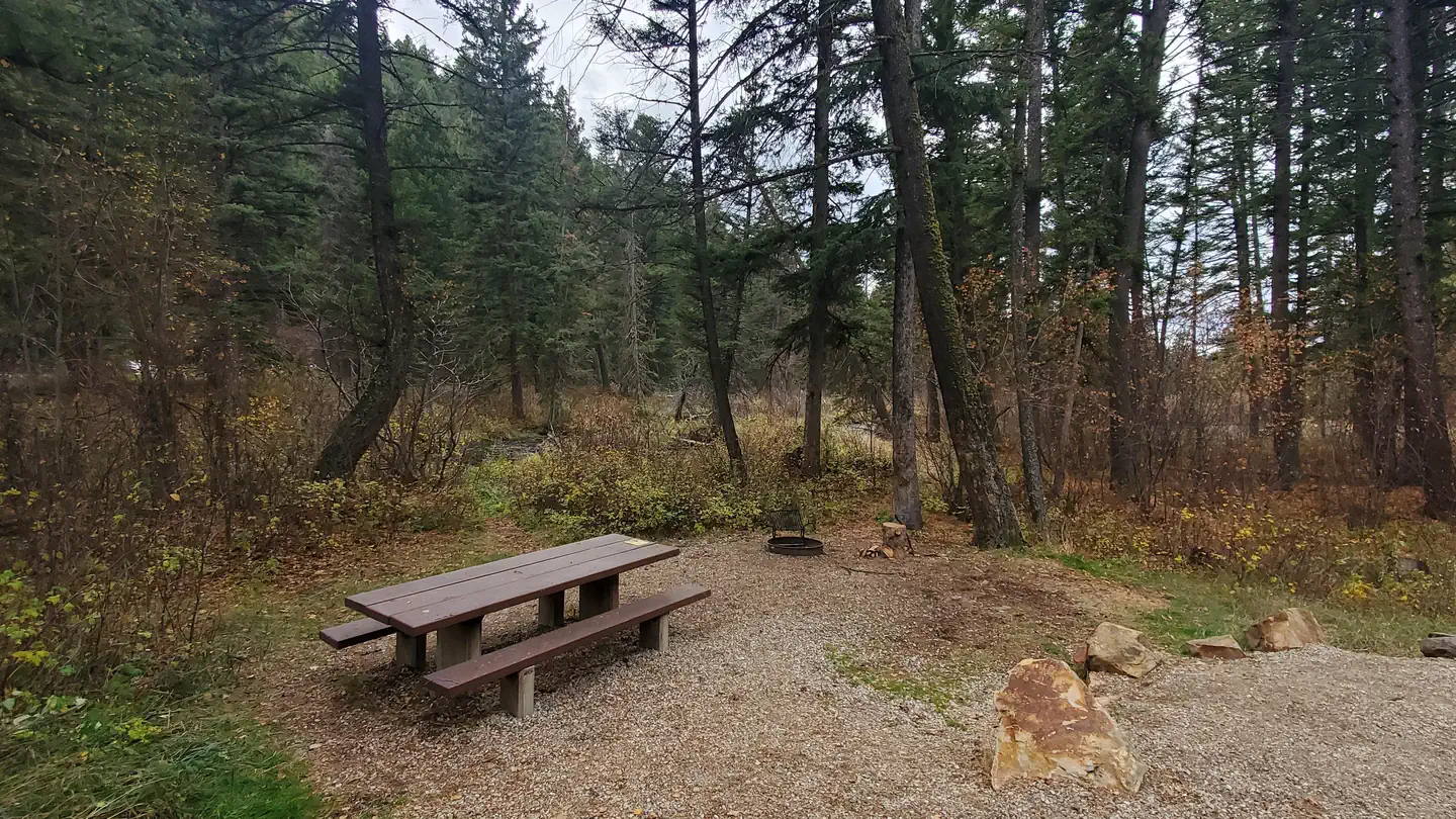
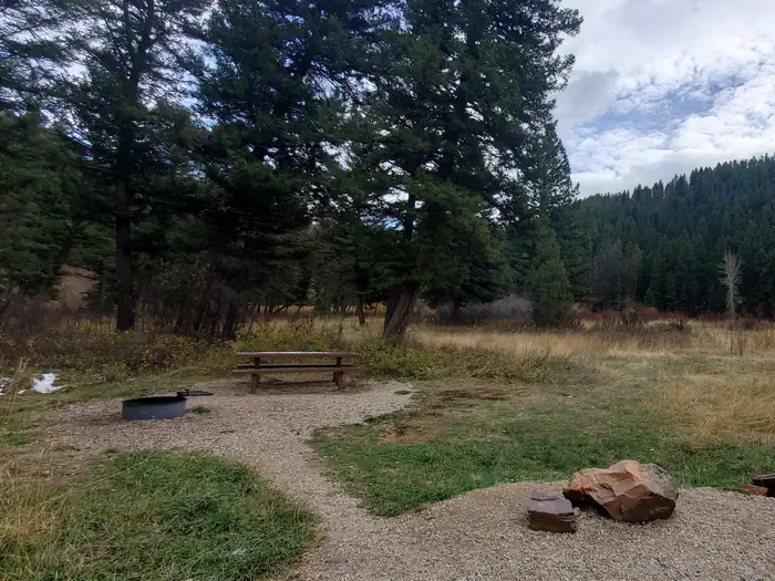
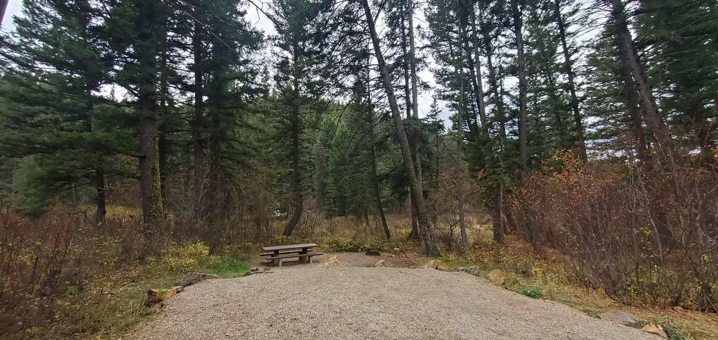
Flint Creek Campground has 10 campsites suitable for tents, trailers, and RVs. Campsites include picnic tables and fire rings, and a double-vault restroom is on site. There is no water pump so remember to bring your own drinking water, and water taken from stream must be treated prior to consumption. The campground is open year-round.
Individual sites vary. Confirm on Recreation.gov or with the managing office.
Season & status
| Status | Open |
| Forest | Beaverhead-Deerlodge National Forest |
| Fees | There is a fee of $15.00 per night for this campground, with a $5 fee for each additional vehicle. |
Weather by month
Getting there
From Philipsburg travel south on Highway 1 for about 7.8 miles, turn left onto Power House Road into the campground.
| Coordinates | 46.2338° N, 113.3022° W · Directions ↗ |
Good to know
- Please note that Echo Lake is a car-top only boat launch area.
Fire nearby
- PrescribedRx D3 Cameron Gaps
36 mi from the campground · 1,100 acres
- WildfireSand Creek
47 mi from the campground · 35,520 acres · 83% contained
- PrescribedSure Thing Swamp Rx
49 mi from the campground · 180 acres
Distance is to the reported incident point, not the fire edge. Call the managing office before you drive.
Supplies & services
| RV sales & service | Hamilton RV Sales Of Montana ↗ | 40.9 mi |
Locations © OpenStreetMap contributors. Call ahead; hours change seasonally.
Explore
Video
Flint Creek Campground,Wiggins,Mississippi Review
Worth a stop
- 1.9 miPebble Beach Picnic Area ↗Day use
Trails nearby
- 1.7 miRumsey Ski2.5 mi trail
- 1.8 miLodgepole Ridge Ski3.8 mi trail
- 2.1 miEcho Lake Ski1.9 mi trail
- 2.1 miLodgepole Connect Ski1.3 mi trail
- 2.2 miJack Pine Ski3.5 mi trail
- 2.2 miPowerline Ski0.4 mi trail
Trail and trailhead records are the Forest Service's. Distances are straight-line to the nearer trail end. Trail conditions are not tracked here.
Public land it sits in
Beaverhead-Deerlodge National Forest begins about 8.4 miles away, and it is the closest of these.
- 8.4 miBeaverhead-Deerlodge National Forest ↗National Forest · Forest Service · 3,614,456 acres
- 12.3 miAnaconda Pintler Wilderness ↗Wilderness · Forest Service · 158,712 acres
Each unit is published as a centre point and an acreage rather than a boundary, so this section stands it in for a circle of the same area. Whether a campground is inside, and how far it is from one it is outside, are both approximate.
Other campgrounds nearby
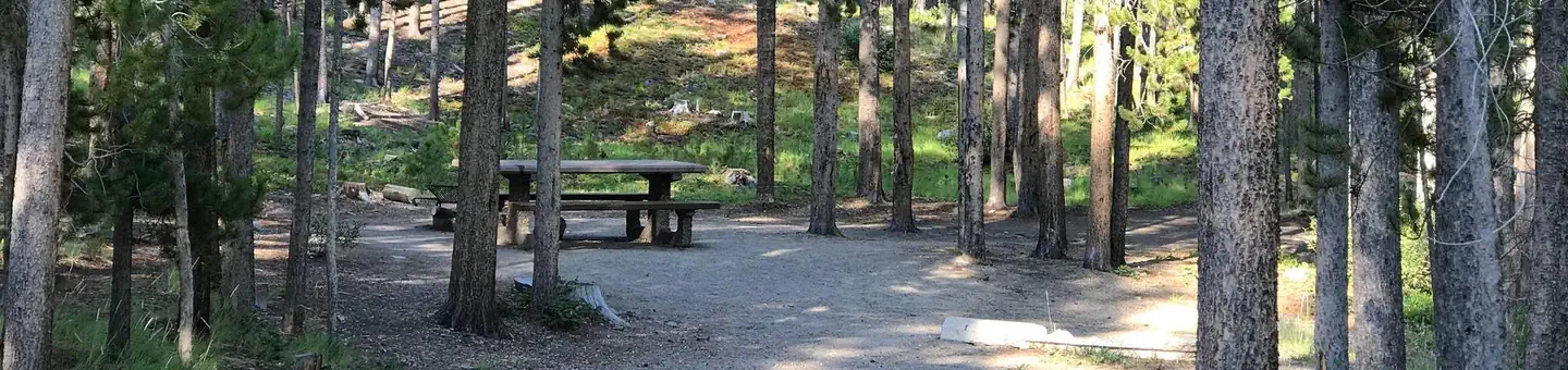

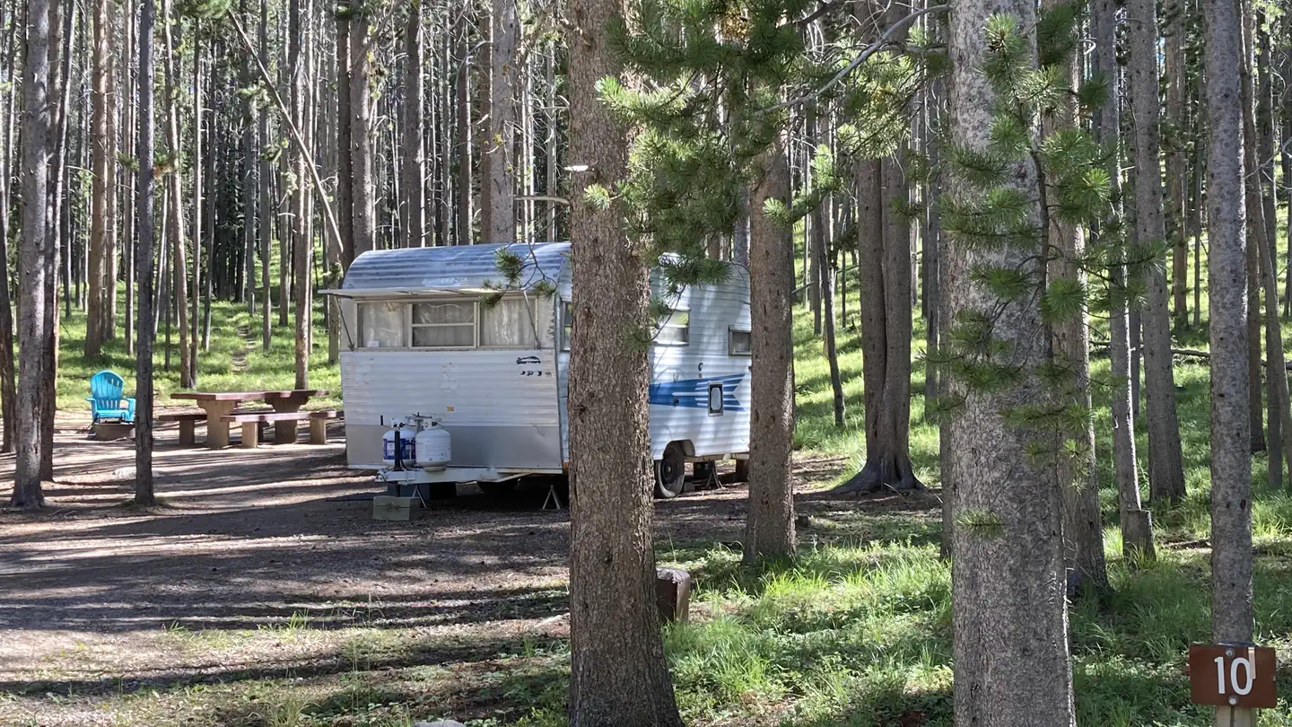
Cabin and lookout rentals nearby
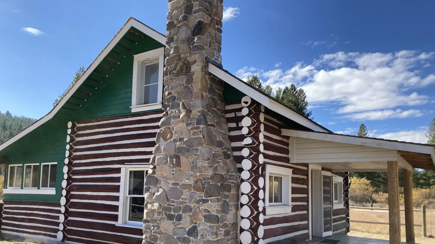
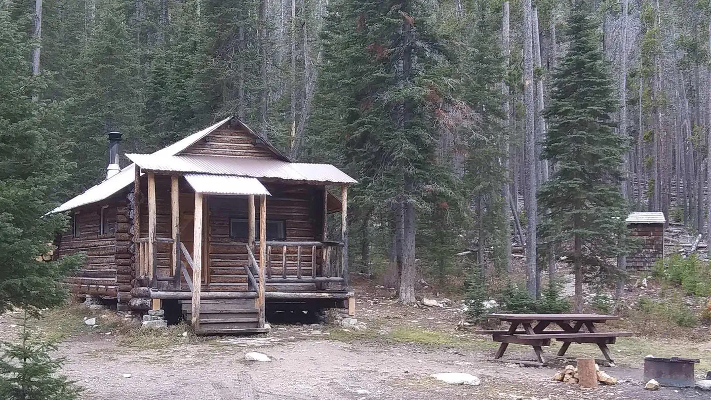
On the National Register nearby
- Miners Union HallBuilding · Philipsburg · 6.3 mi
- Superintendent's HouseBuilding · Philipsburg · 6.3 mi
- Ringeling HouseBuilding · Philipsburg · 6.5 mi
Natural features
Mixed conifers provide partial shade. There is easy access to the Flint Creek, with several campsites bordering the creek. The Pintler Ranger District is known for its high, rugged, and beautiful mountain scenery, as well as the variety of wildlife that makes its home there, including elk, moose, deer, mountain lions, and bears (grizzly and black bears). Learn more about bear safety and the forest wide food storage order.
Recreation
Flint Creek Campground provides access to opportunities for hiking, backpacking, hunting, and fishing. Visitors can fish Flint Creek and there is a parking space available for day-use activities. Visitors must have Montana licenses to hunt or fish. Georgetown Lake is a 10-minute drive from the campground, and a popular destination for fishing, boating, water sports, or simply relaxing and taking in views of the Pintlers. The lake has multiple day-use areas and fishing access points. Echo Lake Picnic Area is a 15-minute drive from Flint Creek CG. There ais no garbage service at our day-use and fishing access sites, please pack out your trash. A sampling of trails within a 35-minute drive includes the Echo Lake trail system; East Fork Trail #8038 and Page Lake Trail #8039; Storm Lake Trail #8041; Twin Lakes Trail #8044 and Four Mile Basin Trail #8113. Visitors will find no shortage of trails within the Pintler Ranger District. Numerous trails lead into the Anaconda-Pintler Wilderness, which covers almost 250 square miles and straddles the Continental Divide along the crest of the Anaconda Range.
Guidebooks for Montana
We earn a small commission if you buy through these links. It does not change what we list.

Titles come from Open Library's catalog, matched by subject heading or by title.
Reference
Questions people ask
Do I need a reservation at Flint Creek Campground?
No. Flint Creek Campground is first-come, first-served. Sites are taken on arrival and paid at the fee station.
Source: Forest Service
How much does it cost to camp at Flint Creek Campground?
There is a fee of $15.00 per night for this campground, with a $5 fee for each additional vehicle.
Source: Forest Service
Is Flint Creek Campground open right now?
Open as of Oct 16, 2026.
Source: Forest Service status
How many sites does Flint Creek Campground have?
10 sites.
Source: Forest Service
Can I bring an RV to Flint Creek Campground?
Flint Creek Campground is listed for tents only.
Source: Forest Service
What is there to do at Flint Creek Campground?
Flint Creek Campground provides access to opportunities for hiking, backpacking, hunting, and fishing. The Recreation section on this page has the rest.
Source: Recreation
What if Flint Creek Campground is full?
The nearest public campgrounds are Philipsburg Bay Campground (2 mi, partly first-come), Lodgepole Campground (2.1 mi, partly first-come), and Piney Campground And Boat Launch (2.6 mi, partly first-come).
Source: Campgrounds nearby