Jacks River Fields Campground
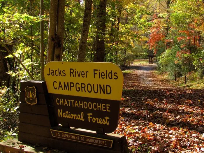
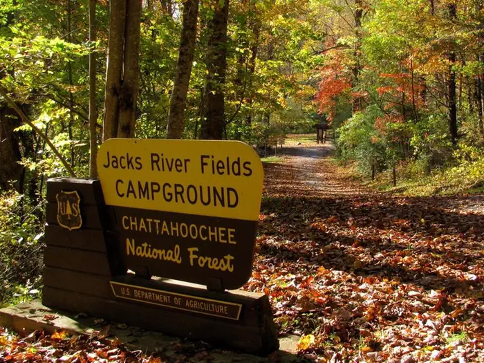
The Jacks River Fields Campground is a seven site campground located in the Blue Ridge Mountains of North Georgia on the Conasauga Ranger District of the Chattahoochee-Oconee National Forest. This campground accomodates horses and mules. Located along the South Fork of the Jacks River, the Jacks River Fields Campground sits at an elevation of 2700' and surrounded by mixed hardwoods, hemlock, and rhododendron. Wildlife such as bear, deer, and wild turkey can be found in the surrounding forest.
More like this: first-come in Georgia · pets allowed in Georgia
Site mix
| Standard, no hookups | 7 |
| Host/management | 1 |
Amenities & rules
| Pets | Allowed |
| Campfires | Allowed, subject to restrictions |
| Fees | This campground currently accepts cash, checks, and credit cards. Use the following steps to pay with a credit card. Once you have the Recreation.gov app and an account on your mobile device, no internet service is needed. |
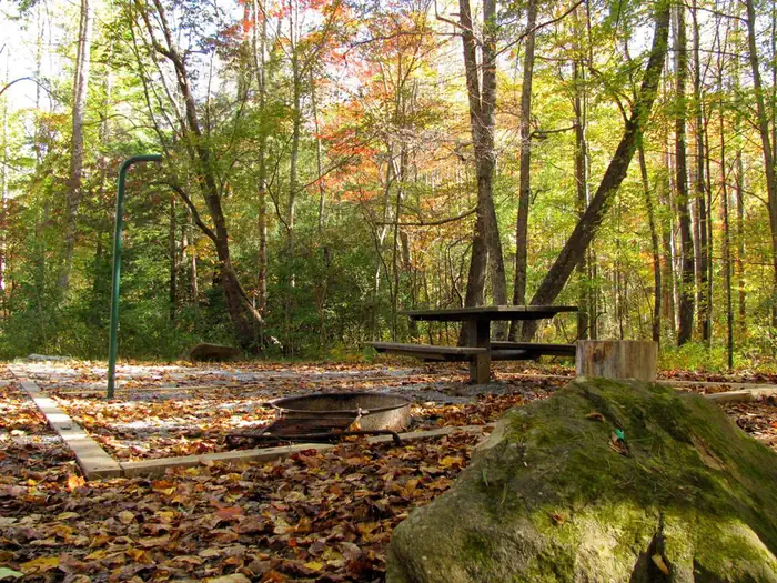
Tent pads, parking spurs, picnic tables, fire rings, and lantern posts are provided at each campsite. Bear-Proof trash cans are centrally located in the campground. There is no running water, no electricity, and no dumping station located at this campground. A vault toilet is provided for visitors. A horse trailer day use parking area is located at the back of the recreation area, along with horse corrals and hitching posts.
Individual sites vary. Confirm on Recreation.gov or with the managing office.
Season & status
| Status | Open |
| Season | Year-round, but January through March the campground is only accessible from Blue Ridge, GA |
| Forest | Chattahoochee-Oconee National Forest |
| Booking | Reservations are not accepted. |
| Fees | Camping: $5/site/night. Campers may pay with checks or cash in the self-service fee tube. Alternatively, you can pay for your campsite by scanning the QR code in the campground using the Recreation.gov mobile app. |
| Rules | Road and campground access limited to recreational vehicles less than 24 feet. FS 64 is closed west of the campground from January through March, so the campground is only accessible from Blue Ridge, GA during these months. Quiet hours observed from 10 p.m. to 6 a.m. Alcohol is prohibited. |
Weather by month
Getting there
| Coordinates | 34.8634° N, 84.5201° W · Directions ↗ |
Good to know
- Once on-site, you can pay for your campsite(s) by scanning a QR code using the Recreation.gov mobile app or by following instructions for depositing cash or checks in the fee deposit box.
- Download the free Recreation.gov mobile app on Android or iOS prior to your arrival as some remote areas have limited or no cellular service.
Fire nearby
- PrescribedRx - West Viniard Alexander
42 mi from the campground · 175 acres
Distance is to the reported incident point, not the fire edge. Call the managing office before you drive.
Supplies & services
| Outdoor gear | Benton Shooters Supply ↗ | 23.2 mi |
| Dump station | Dump station ↗ | 25.5 mi |
| RV sales & service | Rick's RV Center ↗ | 29.5 mi |
Locations © OpenStreetMap contributors. Call ahead; hours change seasonally.
Explore
Worth a stop
South Fork Trail: The South Fork Trail is located approximately 1/8th of a mile from the Jacks River Fields Campground. This trail meanders through fields and hardwood forests along the banks of the south fork of the Jacks River. One river ford is experienced near the north end of the trail. Be alert, this is a multi-use trail open to equestrians, hikers, and bicycles. Cohutta Wilderness: Located nearby is the 45,000 acre Cohutta/Big Frog Wilderness (the largest Congressaionally designated Wilderness Area located east of the Mississippi River.). The Cohutta Wilderness contains 91 miles of arduous backpacking trails.
- 4.4 miBarnes Creek Picnic Area ↗Day use
- 7.4 mi
- 12 miSumac Creek Shooting Range ↗OHV / range
- 14.4 miLakewood Landing Boat Launch ↗Boat launch
- 14.4 miLakewood Landing Boat Launch ↗Boat launch
Trails nearby
- 0.1 miSouth Fork2.7 mi trail · hiking, horse, bike
- 1.2 miMountaintown Creek ↗5.7 mi trail · hiking, bike
- 2.8 miEast Cowpen ↗6.7 mi trail · hiking, horse
- 3.2 miRough Ridge ↗6.7 mi trail · hiking, horse
- 3.5 miConasauga River ↗11.9 mi trail · hiking, horse
- 4 miBear Creek ↗5.9 mi trail · hiking, bike
Trail and trailhead records are the Forest Service's. Distances are straight-line to the nearer trail end. Trail conditions are not tracked here.
Public land it sits in
This campground sits inside Chattahoochee-Oconee National Forests.
- inChattahoochee-Oconee National Forests ↗National Forest · Forest Service · 1,796,317 acres
- 1.3 miCohutta Wilderness ↗Wilderness · Forest Service · 37,033 acres
- 8.6 miBig Frog Wilderness ↗Wilderness · Forest Service · 8,502 acres
Each unit is published as a centre point and an acreage rather than a boundary, so this section stands it in for a circle of the same area. Whether a campground is inside, and how far it is from one it is outside, are both approximate.
Other campgrounds nearby
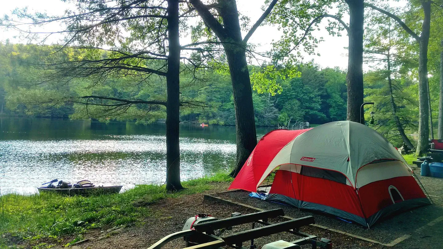
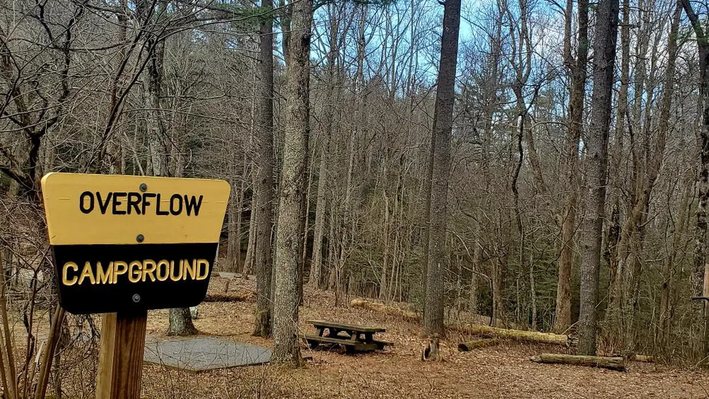

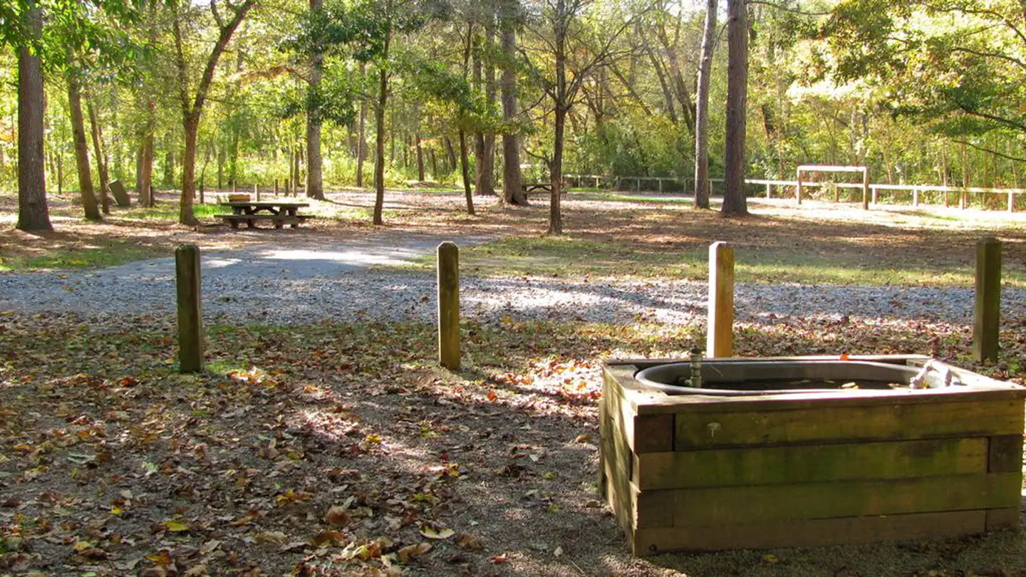
On the National Register nearby
- Fannin County CourthouseBuilding · Blue Ridge · 10.9 mi
- James W. Baugh HomeplaceBuilding · Blue Ridge · 11.1 mi
- Blue Ridge DepotBuilding · Blue Ridge · 11.1 mi
Natural features
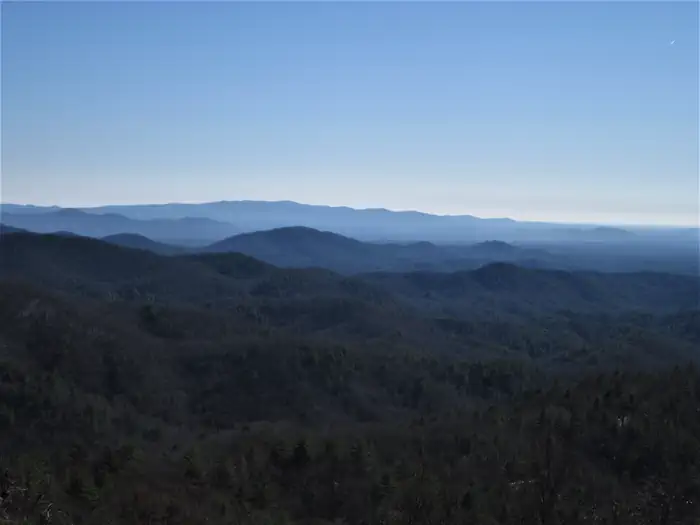
Surrounded by forested mountains, the Jacks River Fields Campground is situated in a small hollow in the Blue Ridge Mountains. The South Fork of the Jacks River flows alongside the campground, joining other tributaries, forming the Jacks River. Jacks River meanders through the 45,000 acre Cohutta Wilderness from the southeast to the northwest, joining the Conasauga River near the Tennessee/Georgia state line. The Conasauga River is one of the most diverse rivers in the United States. The Conasauga Watershed contains 76 native fish - more than the Columbia Watershed and Colorado Watershed combined! The geography and elevation changes of the Southern Appalachian Mountains has enabled aquatic species in small watersheds to attain extreme levels of diversity compared to the much larger western watersheds. Salamanders, mussels, snails, crayfish, and other invertebrates show similar levels of diversity.
Recreation
Hiking and Horseback Riding: This campground is located adjacent to the South Fork Trail, which is a multi-use trail for hiking, biking, and horse riding. The Cohutta Wilderness is nearby and allows for arduous overnight backpacking trips along the Jacks and Conasauga Rivers. Hunting: Hunting for bear, deer, and wild hogs is a long standing fall tradition in the North Georgia Mountains. This campground is located within the Cohutta Wildlife Management Area, a cooperatively managed area between the U.S. Forest Service and the Georgia Department of Natural Resources. The WMA is located completely within the boundaries of the Chattahoochee National Forest. Birding: During spring and summer, songbirds abound. Beginning in early spring, neotropical migrant birds are found traveling from South America and Mexico to their breeding grounds in the Appalachian Mountains from Georgia to Canada, many are only encountered during migration. For many birds, this area is the only place in the Southern Appalachians they breed, making for a unique experience for forest visitors. Wildflowers: The Southern Appalachians are one of the most diverse regions in the world for plants.
Guidebooks for Georgia
We earn a small commission if you buy through these links. It does not change what we list.
Titles come from Open Library's catalog, matched by subject heading or by title.
Reference
Questions people ask
Do I need a reservation at Jacks River Fields Campground?
No. Jacks River Fields Campground is first-come, first-served. Reservations are not accepted. Sites are taken on arrival and paid at the fee station.
Source: Forest Service
How much does it cost to camp at Jacks River Fields Campground?
This campground currently accepts cash, checks, and credit cards. Use the following steps to pay with a credit card. Once you have the Recreation.gov app and an account on your mobile device, no internet service is needed.
Source: Forest Service
What time is check-in at Jacks River Fields Campground?
Check-in 3:00 PM, checkout 2:00 PM.
Source: Forest Service
Is Jacks River Fields Campground open right now?
Open as of Oct 16, 2026. Season Year-round, but January through March the campground is only accessible from Blue Ridge, GA.
Source: Forest Service status
How many sites does Jacks River Fields Campground have?
8 sites, including 7 standard sites without power.
Source: Forest Service
Are pets allowed at Jacks River Fields Campground?
Yes, pets are allowed at Jacks River Fields Campground. Leash rules apply.
Source: Forest Service
Can I have a campfire at Jacks River Fields Campground?
Fires are allowed in the provided rings under normal conditions. As of 2026-10-16, there is 1 active fire within 50 miles, so check current restrictions before you light one. Road and campground access limited to recreational vehicles less than 24 feet.
Source: Fire nearby
What is there to do at Jacks River Fields Campground?
Hiking and Horseback Riding: This campground is located adjacent to the South Fork Trail, which is a multi-use trail for hiking, biking, and horse riding. The Recreation section on this page has the rest.
Source: Recreation
What if Jacks River Fields Campground is full?
The nearest public campgrounds are Lake Conasauga Campground (7.4 mi), Lake Conasauga Overflow Campground (7.8 mi), and Hickey Gap Campground (8.9 mi, first-come).
Source: Campgrounds nearby