Pax River Hog Point Campgrounds
Visitors eligible for reservations at this location are limited to Active Duty, Reservists, Retired Military, Unremarried Widow, Veterans and Department of Defense employees. A variety of recreational programs and facilities await you and your family at Naval Air Station Patuxent River, located just 55 miles south of Washington D.C. Situated at the confluence of the Patuxent River and Chesapeake Bay, this is an area rich in both American and Navy history and natural beauty. Part of the legacy of Southern Maryland may be found in the spacious, natural campsite areas aboard the installation.
More like this: reservable in Maryland · pets allowed in Maryland
Check availability on Recreation.gov ↗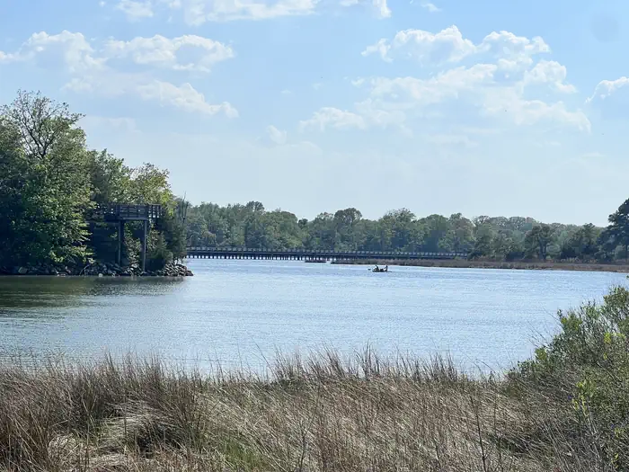
Site mix
| Tent-only | 4 |
Site guide
4 sites. Tap a filter to narrow the list; the map follows.
| Site | Surface | Shade | Water / sewer | Waterfront | People / vehicles | Fires |
|---|---|---|---|---|---|---|
| H1 | Gravel | Partial | No / – | Riverfront | 4 / 2 | Yes |
| H2 | Gravel | Partial | No / – | Riverfront | 4 / 2 | Yes |
| H3 | Gravel | Partial | No / – | Riverfront | 4 / 2 | Yes |
| H4 | Gravel | Partial | No / – | Riverfront | 4 / 2 | Yes |
Per-site records as published by the managing agency on Recreation.gov. Blank cells mean the agency listed nothing for that site. Check-in 1:00 PM, checkout 12:00 PM.
Amenities & rules
| Pets | Allowed |
| Campfires | Allowed, subject to restrictions |
- Tent Only Nonelectric
- Overnight
Individual sites vary. Confirm on Recreation.gov or with the managing office.
Weather by month
Getting there
From Washington D.C. Take 295 S towards I-95/495, merge onto I-495 S, take exit 7A toward MD 5 S/ Branch Ave, turn left on to Mattawoman Beantown Road, turn left onto MD 5 S/Leonardtown Road, continue on MD 235 to NAS Patuxent River Gate 1, cedar point road
| Nearest town | Patuxent River, Maryland |
| Coordinates | 38.3070° N, 76.3949° W · Directions ↗ |
Supplies & services
| Outdoor gear | Bunky's Tackle Shop ↗ | 3.7 mi |
| Dump station | Dump station ↗ | 29.5 mi |
| RV sales & service | Affordable RV Truck and Trailer Repair ↗ | 40.8 mi |
Locations © OpenStreetMap contributors. Call ahead; hours change seasonally.
Explore
Public land it sits in
Blackwater National Wildlife Refuge begins about 13.8 miles away, and it is the closest of these.
- 13.8 miBlackwater National Wildlife Refuge ↗National Wildlife Refuge · Fish and Wildlife Service · 34,765 acres
Each unit is published as a centre point and an acreage rather than a boundary, so this section stands it in for a circle of the same area. Whether a campground is inside, and how far it is from one it is outside, are both approximate.
Other campgrounds nearby

Historic landmarks nearby

Natural features
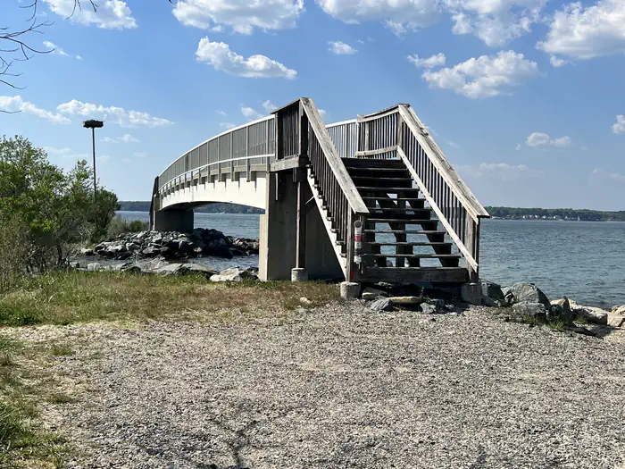
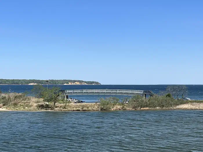
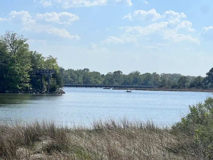
NAS Patuxent River Hogs Point Campground is located where the Chesapeake Bay meets the Patuxent River, offering the best views for sunrises.
Recreation
Water lovers will find that NAS Patuxent River strectches across approximately 12 miles of shoreline offering locations to launch kayaks, stand up paddle boards, motor and sail boats, places for fishing and crabbing as well as areas for the beach lovers. Bicyclists will find a 10 mile paved loop within the installation as well as designated bike trails. MWR also has a Golf Course, Outdoor Pool, Marina, Theater, Community Recreation Office, Auto Hobby Shop and Fitness Center.
Nearby
- Historic St. Mary's City
- Patuxent River Air Museum
- Historic Sotterly
- St. Clement's Island
- Point Lookout State Park
- Solomon's Island
- Navy Recreation Center Solomons
Guidebooks for Maryland
We earn a small commission if you buy through these links. It does not change what we list.

Titles come from Open Library's catalog, matched by subject heading or by title.
Reference
Questions people ask
Do I need a reservation at Pax River Hog Point Campgrounds?
Sites at Pax River Hog Point Campgrounds are reservable on Recreation.gov. Any walk-up sites are listed on the booking page.
Source: Recreation.gov
What time is check-in at Pax River Hog Point Campgrounds?
Check-in 1:00 PM, checkout 12:00 PM.
Source: Recreation.gov
How many sites does Pax River Hog Point Campgrounds have?
4 sites, including 4 tent-only sites.
Source: Recreation.gov
Are pets allowed at Pax River Hog Point Campgrounds?
Yes, pets are allowed at Pax River Hog Point Campgrounds. Leash rules apply.
Source: Recreation.gov
Can I have a campfire at Pax River Hog Point Campgrounds?
Fires are allowed in the provided rings under normal conditions.
Source: Recreation.gov
Is there cell service at Pax River Hog Point Campgrounds?
FCC coverage maps show Verizon 4G LTE, AT&T 5G, and T-Mobile 4G LTE at the campground point. Terrain changes that from one site to the next.
Source: FCC Broadband Map
What is there to do at Pax River Hog Point Campgrounds?
Water lovers will find that NAS Patuxent River strectches across approximately 12 miles of shoreline offering locations to launch kayaks, stand up paddle boards, motor and sail boats, places for fishing and crabbing as well as areas for the beach lovers. The Recreation section on this page has the r
Source: Recreation
What is the nearest town to Pax River Hog Point Campgrounds?
Patuxent River, Maryland. Historic St. Mary's City
Source: Getting there
What if Pax River Hog Point Campgrounds is full?
The nearest public campgrounds are Pax River Paradise Grove Campgrounds (0.1 mi), Greenbelt Park Ranger Station (53.8 mi, first-come), and Greenbelt Campground (54 mi).
Source: Campgrounds nearby