Tower Rock Campground
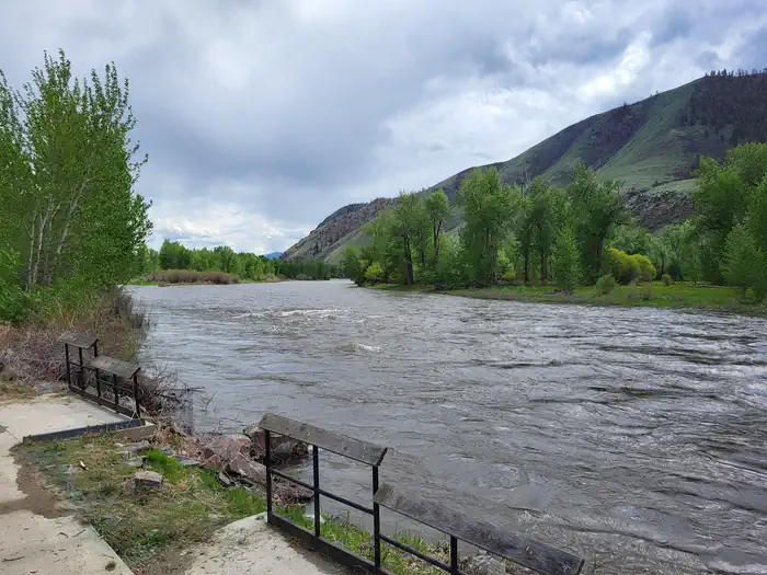
The Lewis & Clark Expedition camped at the Tower Rock site, along the main Salmon River. Today, the site offers prime river access for floaters and steelhead and trout anglers. Camping and picnic sites are also available, and the area makes a great stopping point for scenic drivers.
More like this: reservable in Idaho
Check availability on Recreation.gov ↗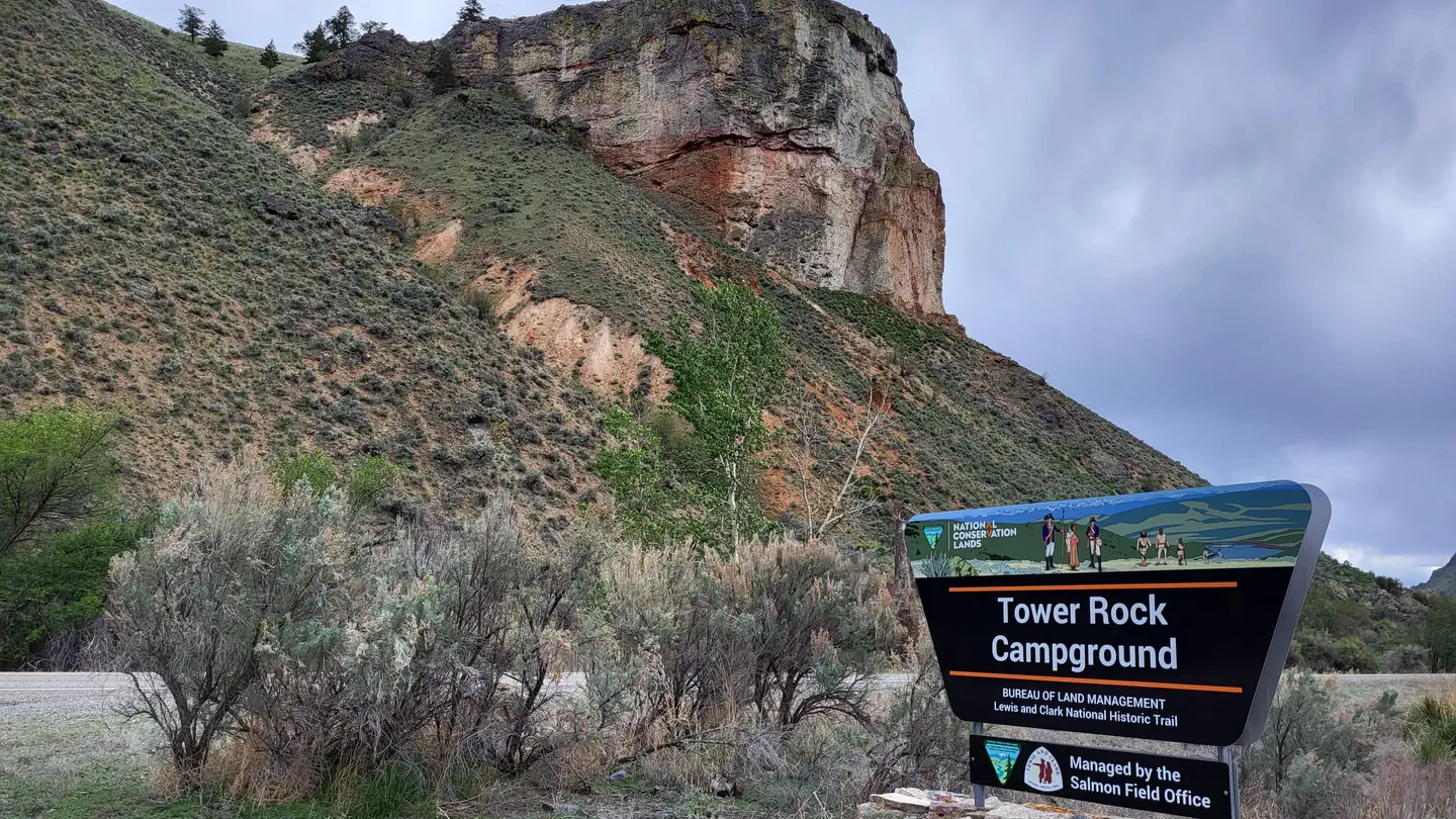
Site mix
| parking | 6 |
| Standard, no hookups | 4 |
| Tent-only | 2 |
Site guide
12 sites. Tap a filter to narrow the list; the map follows.
| Site | Type |
|---|---|
| Site #1 | Standard |
| Site #2 | Standard |
| Site #3 | Standard |
| Site #4 | Standard |
| Tent Site #5 | Tent only |
| Tent Site #6 | Tent only |
| Site #1 Extra Vehicle | Parking |
| Site #2 Extra Vehicle | Parking |
| Site #3 Extra Vehicle | Parking |
| Site #4 Extra Vehicle | Parking |
Per-site records as published by the managing agency on Recreation.gov. Blank cells mean the agency listed nothing for that site.
Amenities & rules
| Fees | Campsite nightly rates are $5/site and $2 per additional vehicle. Limit of one additional vehicle per campsite. Fees may be paid on-site using fee envelopes or with the Recreation.gov Scan & Pay App. |
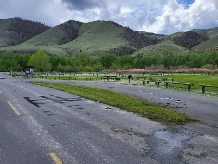
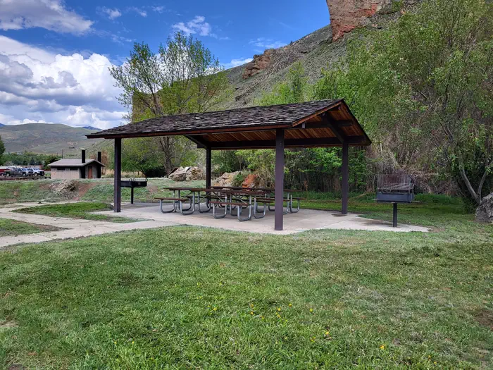
The campground offers single-family campsites for both RV and designated tent-only camping. Each site is equipped with accessible picnic tables and campfire rings with grills. Vault toilets, fishing platforms, picnic shelter, and boat ramp with access to the Salmon River are provided. No hookups are available at this location.
Individual sites vary. Confirm on Recreation.gov or with the managing office.
Weather by month
Getting there
Take Highway 93 North of Salmon, ID for 10 miles. Campground will be on the left between the highway and the Salmon River.
| Nearest town | Salmon, Idaho |
| Coordinates | 45.3121° N, 113.9063° W · Directions ↗ |
Fire nearby
- PrescribedScf Nz Pile Burn Rx
21 mi from the campground · 34 acres
- WildfireSand Creek
33 mi from the campground · 35,520 acres · 83% contained
- PrescribedRx D4 Piquett Creek
40 mi from the campground · 2,210 acres
- PrescribedRx D3 Cameron Gaps
41 mi from the campground · 1,100 acres
Distance is to the reported incident point, not the fire edge. Call the managing office before you drive.
Explore
Video
Tower Rock Campground trip July 2021
Worth a stop
- Salmon River
- Tower Pirimids Day Use Area
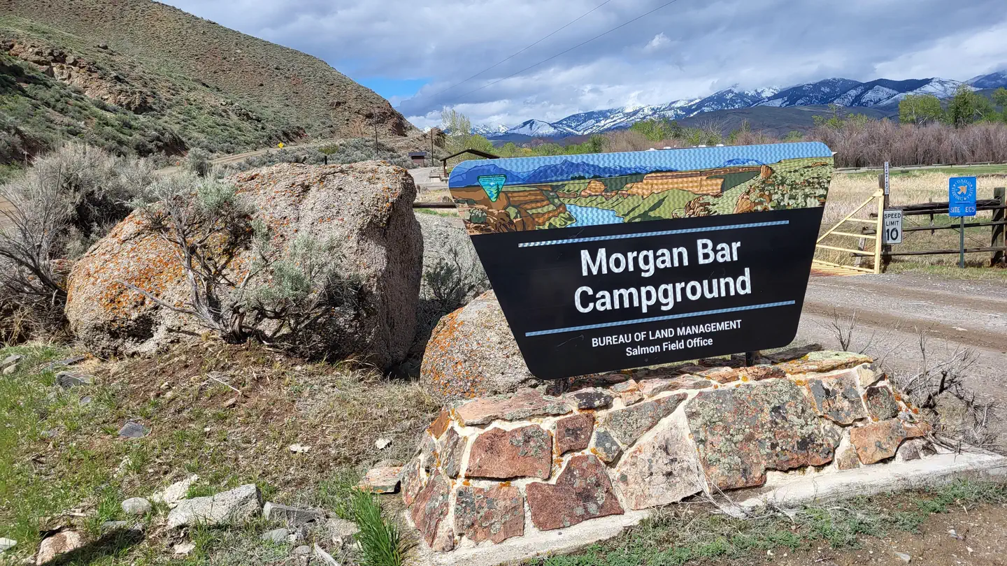
- Morgan Bar Campground
- 2.2 mi
- 8.2 miNewland Ranch Picnic Site ↗Day use
Trails nearby
- 2 miComet Creek ↗5 mi trail · hiking, horse, bike
- 2.1 miBird Creek2.1 mi trail · hiking, horse, bike
- 2.3 miDiamond-Bird0.3 mi trail · hiking, horse, bike, motorcycle and 3 more
- 2.6 miWallace Creek2.1 mi trail · hiking, horse, bike
- 3.6 miNapoleon Gulch0.6 mi trail · hiking, horse, bike
- 3.8 mi5 Corner0.2 mi trail · hiking, horse, bike, motorcycle and 3 more
Trail and trailhead records are the Forest Service's. Distances are straight-line to the nearer trail end. Trail conditions are not tracked here.
Public land it sits in
This campground sits inside Salmon-Challis National Forest.
- inSalmon-Challis National Forest ↗National Forest · Forest Service · 4,396,382 acres
- under 0.1 miBeaverhead-Deerlodge National Forest ↗National Forest · Forest Service · 3,614,456 acres
Each unit is published as a centre point and an acreage rather than a boundary, so this section stands it in for a circle of the same area. Whether a campground is inside, and how far it is from one it is outside, are both approximate.
Other campgrounds nearby


Cabin and lookout rentals nearby
On the National Register nearby
- Episcopal Church of the RedeemerBuilding · Salmon · 9.2 mi
- Lemhi County CourthouseBuilding · Salmon · 9.2 mi
- Socrates A. Myers HouseBuilding · Salmon · 9.2 mi
Natural features
William Clark described the rock formation above the campground, known today as Tower Rock, as a “Clift of dark brown flint”. The Precambrian quartzite is some of the oldest rock in Idaho and can be found in the outcrops between the campground and North Fork, ID. At the nearby Tower Pirimids Day Use Area "hoodoo" type sandstone, gravel, and capstone formation can be seen near another Corps of Discovery campsite.
Recreation
The area surrounding the campground offers a multitude of recreation opportunities including motorized and non-motorized trails, hunting, fishing, and wildlife viewing. Rafters and anglers often use the boat ramp to access the Salmon River.
Guidebooks for Idaho
We earn a small commission if you buy through these links. It does not change what we list.

Titles come from Open Library's catalog, matched by subject heading or by title.
Reference
Questions people ask
Do I need a reservation at Tower Rock Campground?
Sites at Tower Rock Campground are reservable on Recreation.gov. Any walk-up sites are listed on the booking page.
Source: Recreation.gov
How much does it cost to camp at Tower Rock Campground?
Campsite nightly rates are $5/site and $2 per additional vehicle. Limit of one additional vehicle per campsite. Fees may be paid on-site using fee envelopes or with the Recreation.gov Scan & Pay App.
Source: Recreation.gov
How many sites does Tower Rock Campground have?
12 sites, including 6 parking, 4 standard sites without power, and 2 tent-only sites.
Source: Recreation.gov
Is there cell service at Tower Rock Campground?
FCC coverage maps show Verizon 4G LTE, AT&T 5G, and T-Mobile 5G at the campground point. Terrain changes that from one site to the next.
Source: FCC Broadband Map
What is there to do at Tower Rock Campground?
The area surrounding the campground offers a multitude of recreation opportunities including motorized and non-motorized trails, hunting, fishing, and wildlife viewing. The Recreation section on this page has the rest.
Source: Recreation
What is the nearest town to Tower Rock Campground?
Salmon, Idaho. Salmon River
Source: Getting there
What if Tower Rock Campground is full?
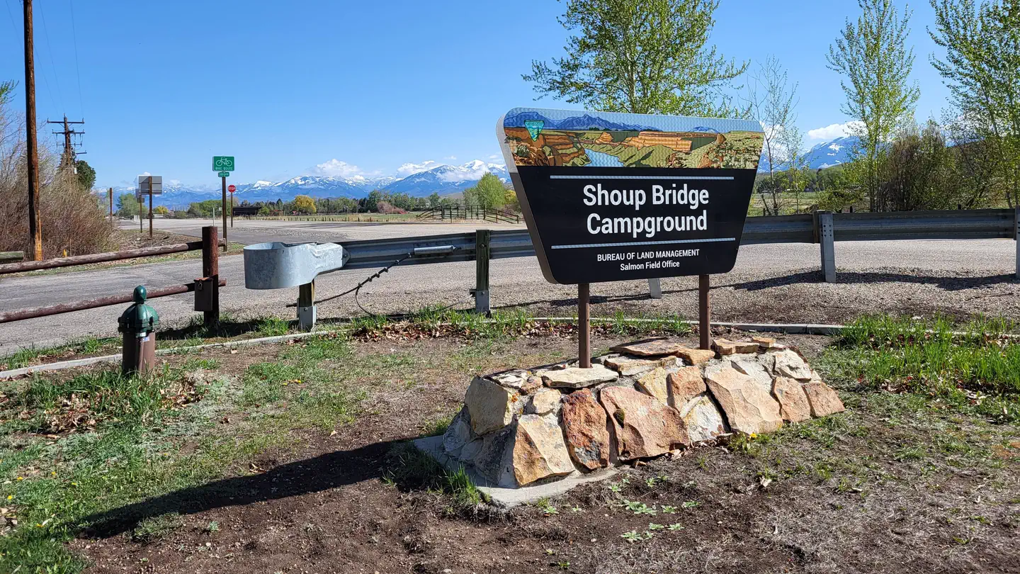
The nearest public campgrounds are Morgan Bar Campground (4.1 mi), Wallace Lake Campground (6.6 mi, first-come), and Shoup Bridge Campground (14.8 mi).
Source: Campgrounds nearby