Landslide
Landslide campground is at 5800' elevation and within Giant Sequoia National Monument.
More like this: reservable in California · tent only in California · pets allowed in California
Check availability on Recreation.gov ↗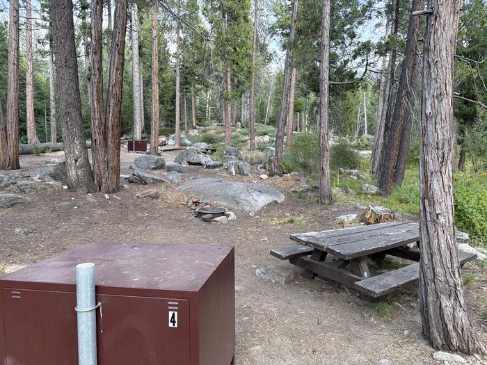
Site mix
| Tent-only | 8 |
Site guide
8 sites. Tap a filter to narrow the list; the map follows.
| Site | Shade | Water / sewer | People / vehicles | Fires |
|---|---|---|---|---|
| 2 | None | No / – | 6 / 1 | Yes |
| 3 | None | No / – | 6 / 1 | Yes |
| 4 | None | No / – | 6 / 1 | Yes |
| 5 | None | No / – | 6 / 1 | Yes |
| 6 | None | No / – | 6 / 1 | Yes |
| 8 | None | No / – | 6 / 1 | Yes |
| 9 | None | No / – | 6 / 1 | Yes |
| 7 Management | None | No / – | 6 / 1 | Yes |
Per-site records as published by the managing agency on Recreation.gov. Blank cells mean the agency listed nothing for that site. Check-in 02:00 PM, checkout 12:00 PM.
Amenities & rules
| Equipment | Tents |
| Pets | Allowed |
| Campfires | Allowed, subject to restrictions |
5800-foot elevation. Nine campsites, including six tent-only sites, with hiking in two nearby groves of giant sequoias. This campground is within the Giant Sequoia National Monument. Trails in the monument, open to hikers, horses, and bikes (outside the wilderness areas), wind through giant sequoia groves, up mountains, and alongside wild rivers. Compacted dirt surfaces, fee required Maximum RV length 16 feet. Special food storage rule in effect because this is black bear country! Campfire permits are required for campfires, barbeques, and camp stoves. Permits are available at your local Ranger Station or online at Campfire Permit - Ready for Wildfire.
Individual sites vary. Confirm on Recreation.gov or with the managing office.
Season & status
| Status | Closed for the season. Forest Service sites close for the season; check the official page for the reopening date. |
| Forest | Sequoia National Forest |
| Fees | Campsite fees range from $34/night for single unit, $68/night for double unit, $8/night for extra vehicle |
Weather by month
Getting there
From Grant Grove, go 13 miles north on CA 180 and Hume Rd, then 3 miles south on FR13S09 past Hume Lake.
| Coordinates | 36.7638° N, 118.8822° W · Directions ↗ |
Fire nearby
- PrescribedGrant Grove Fall Rx
5 mi from the campground
- PrescribedGrant Grove Rx Spring
6 mi from the campground · 15 acres
- WildfireLand
8 mi from the campground · 20 acres
Distance is to the reported incident point, not the fire edge. Call the managing office before you drive.
Supplies & services
| Dump station | Dump station ↗ | 14 mi |
| Outdoor gear | Shaver Lake Sports ↗ | 33.8 mi |
| RV sales & service | RV sales & service ↗ | 44.2 mi |
Locations © OpenStreetMap contributors. Call ahead; hours change seasonally.
Explore
Worth a stop
Kings Canyon National Park Sequoia National Park General Sherman Tree The General Grant Tree Hume Lake Recreation Area
- 2 miSandy Cove Day Use Area ↗Day use
- 2.1 miHume Lake Fishing Pier (South) ↗Fishing site
- 2.3 miHume Lake Boat Launch ↗Boat launch
- 2.4 miHume Lake Fishing Pier (North) ↗Fishing site
- 2.4 miPowder Can Picnic Area ↗Day use
- 2.5 miHume Lake Trailhead ↗Trailhead
Show all 8Hide
- 2.8 miKennedy Meadows Trailhead ↗Trailhead
- 4.4 miCherry Gap Ohv Staging Area ↗OHV / range
Trails nearby
- 2.3 miHume Lake ↗2.6 mi trail · hiking, horse, bike
- 2.5 miQuail Flat Ski3.5 mi trail · snowshoe, ski
- 2.8 miKanawyer ↗11.1 mi trail · hiking, horse
- 3.3 miLittle Boulder Grove1.7 mi trail · hiking, horse, bike
- 3.4 miEvans Grove Loop1.1 mi trail · hiking, horse
- 4.2 miIndian Basin ↗1.2 mi trail · hiking, horse, bike
Trailheads within three miles
- 2.5 miHume Lake Trailhead ↗Sequoia National Forest
- 2.8 miKennedy Meadows Trailhead ↗Sequoia National Forest
Trail and trailhead records are the Forest Service's. Distances are straight-line to the nearer trail end. Trail conditions are not tracked here.
Public land it sits in
This campground sits inside Sequoia-Kings Canyon Wilderness.
- inSequoia-Kings Canyon Wilderness ↗Wilderness · National Park Service · 768,222 acres
- 1.1 miJohn Muir Wilderness ↗Wilderness · Forest Service · 652,903 acres
- 2.6 miMonarch Wilderness ↗Wilderness · Forest Service · 44,223 acres
Each unit is published as a centre point and an acreage rather than a boundary, so this section stands it in for a circle of the same area. Whether a campground is inside, and how far it is from one it is outside, are both approximate.
Other campgrounds nearby

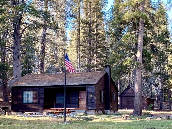
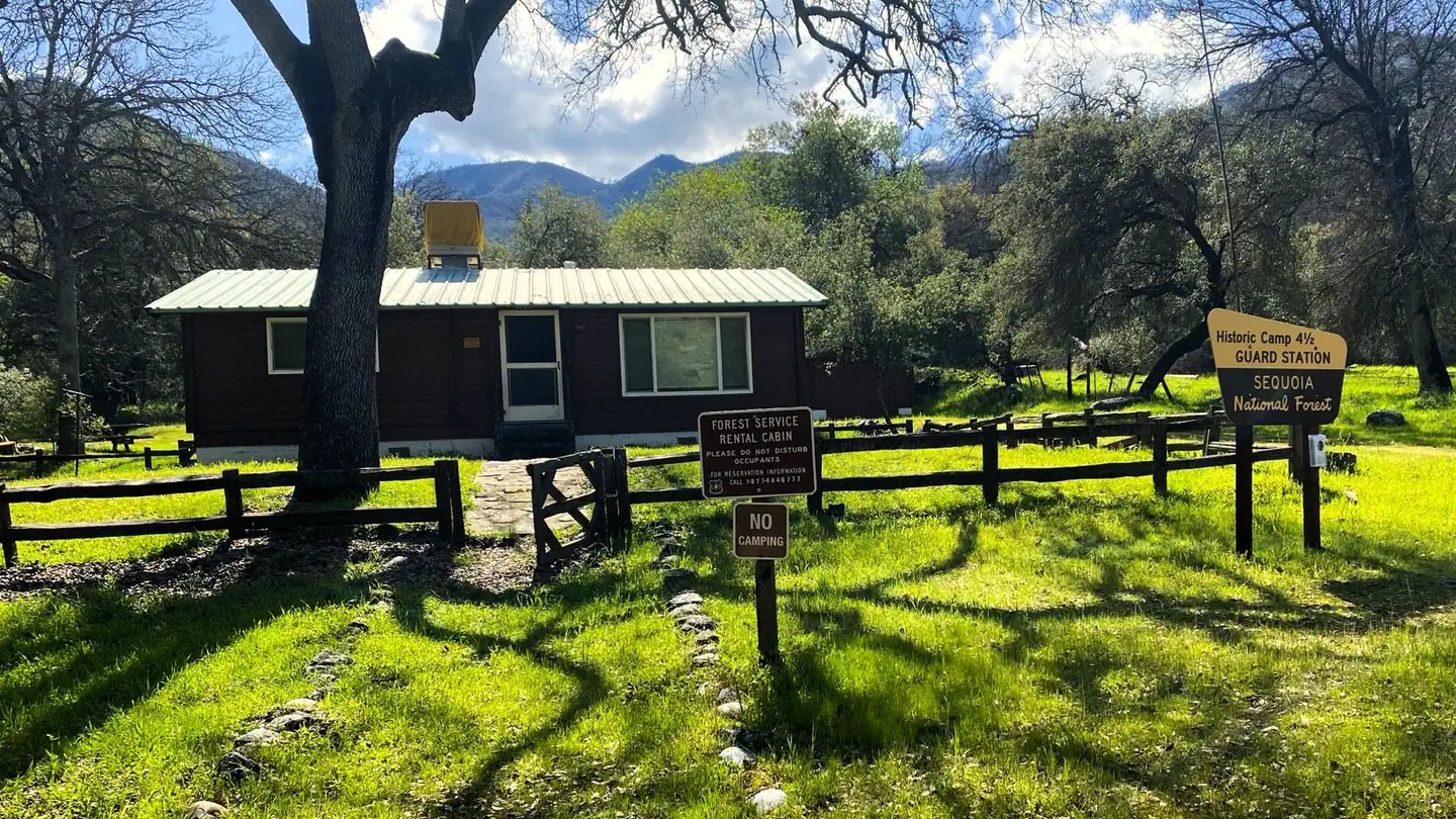
Cabin and lookout rentals nearby
On the National Register nearby
- Gamlin CabinBuilding · Wilsonia · 5 mi
- Cabin Creek Ranger Residence and DormitoryBuilding · Wilsonia · 8.8 mi
- Generals' Highway Stone BridgesHistoric district · Mineral King · 13.1 mi
Natural features
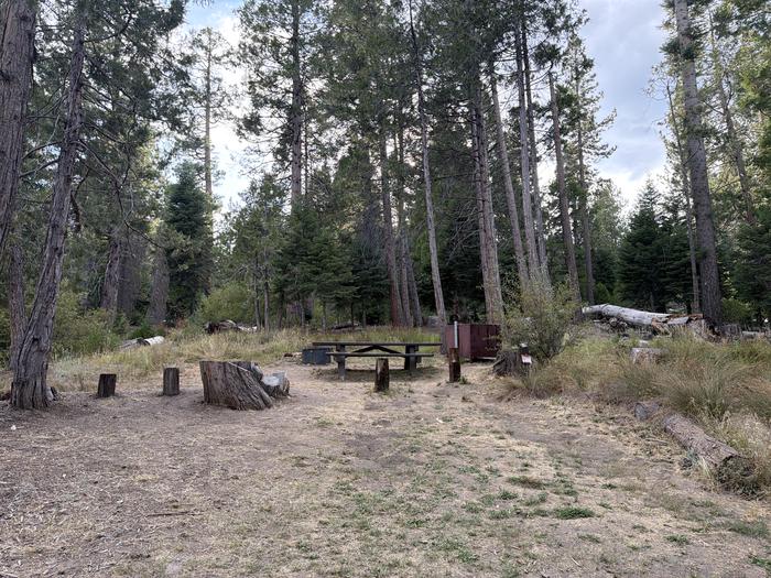
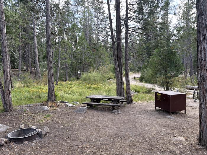
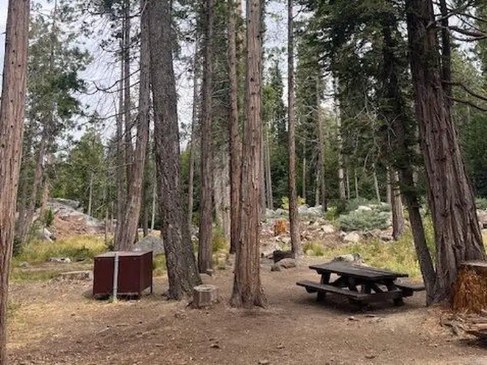
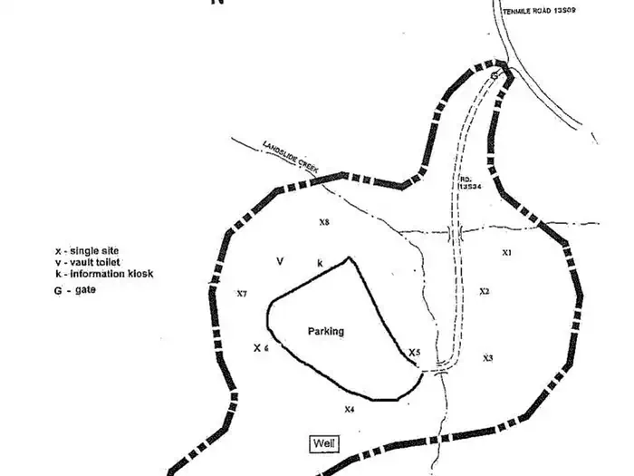
This campground is surrounded by a mixed conifer forest and sits along Landslide Creek.
Recreation
Recreational opportunities abound with Hume Lake nearby, many miles of OHV roads, and hiking trails that can be found within the National Monument and nearby Sequoia and Kings Canyon National Parks.
Guidebooks for Sequoia National Forest and California
We earn a small commission if you buy through these links. It does not change what we list.

Titles come from Open Library's catalog, matched by subject heading or by title.
Reference
Questions people ask
Do I need a reservation at Landslide?
Sites at Landslide are reservable on Recreation.gov. Any walk-up sites are listed on the booking page.
Source: Recreation.gov
How much does it cost to camp at Landslide?
Campsite fees range from $34/night for single unit, $68/night for double unit, $8/night for extra vehicle
Source: Recreation.gov
What time is check-in at Landslide?
Check-in 02:00 PM, checkout 12:00 PM.
Source: Recreation.gov
Is Landslide open right now?
Closed for the season as of Oct 16, 2026.
Source: Forest Service status
How many sites does Landslide have?
8 sites, including 8 tent-only sites.
Source: Recreation.gov
Can I bring an RV to Landslide?
Landslide is listed for tents only.
Source: Recreation.gov
Are pets allowed at Landslide?
Yes, pets are allowed at Landslide. Leash rules apply.
Source: Recreation.gov
Can I have a campfire at Landslide?
Fires are allowed in the provided rings under normal conditions. As of 2026-10-16, there are 3 active fires within 50 miles, so check current restrictions before you light one.
Source: Fire nearby
What if Landslide is full?
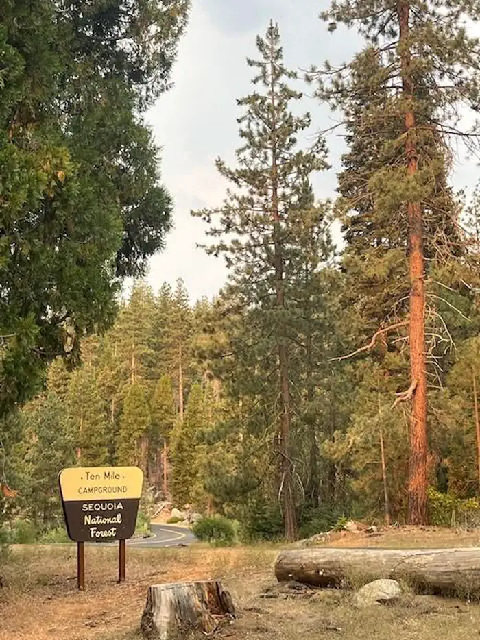
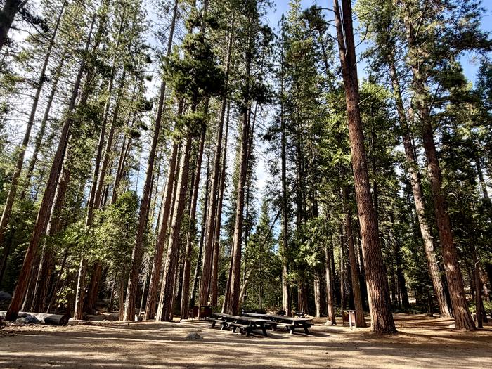
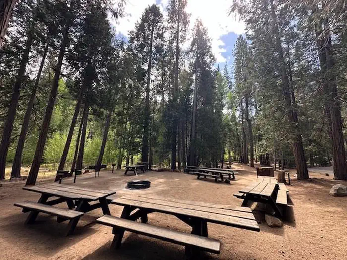
The nearest public campgrounds are Tenmile Campground (0.9 mi), Ten Mile Campground (1 mi), and Logger Flat Group (1.1 mi).
Source: Campgrounds nearby