East Seelye Bay
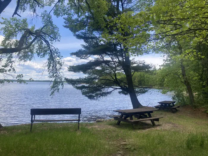
East Seelye Bay Campground is located 20 Miles north of Deer River off Highway 46 and 4 miles west on Eagle Nest Road (FR 2198). East Seelye Bay has 13 first-come, first-served campsites, a picnic area, swimming beach, boat ramp, and parking area. The Chippewa National Forest and the Leech Lake Band of Ojibwe work together to co-steward resources - making the Forest a great place to recreate as well as a special place where cultural and traditional resources are protected and preserved and the Band’s treaty rights are respected.
More like this: reservable in Minnesota
Check availability on Recreation.gov ↗
Site mix
| Standard, no hookups | 13 |
| Host/management | 1 |
Season & status
| Status | Closed for the season. Forest Service sites close for the season; check the official page for the reopening date. |
| Forest | Chippewa National Forest |
| Fees | Use Fee/ $16 Night |
Weather by month
Getting there
| Coordinates | 47.5247° N, 94.0956° W · Directions ↗ |
Supplies & services
| Outdoor gear | Wildlands Gear Exchange ↗ | 33.2 mi |
| Dump station | Dump station ↗ | 34.1 mi |
| RV sales & service | KB RV Center Inc. ↗ | 36.1 mi |
Locations © OpenStreetMap contributors. Call ahead; hours change seasonally.
No amenities, no fee schedule, no directions or photos in the Recreation.gov record. What is here comes from the agency's own listing. The rest lives there.
Checked nightly. Modules appear as soon as the record fills in.
Explore
Video
Video of East Seelye Bay Campground, MN from Bri S.
Trails nearby
- 0.1 miSimpson Creek/Seelye Point0.5 mi trail · hiking, horse, bike
- 0.1 miSimpson Creek/Seelye Pt Spura0.07 mi trail · hiking
- 0.1 miSimpson Creek/Seelye Pt Spurb0.2 mi trail · hiking
- 0.8 miSimpson Creek Trail Spur D1.6 mi trail · hiking
- 0.8 miSimpson Creek Trail Spur A0.2 mi trail · hiking
- 1.1 miSimpson Creek3.9 mi trail · hiking
Trail and trailhead records are the Forest Service's. Distances are straight-line to the nearer trail end. Trail conditions are not tracked here.
Public land it sits in
This campground sits inside Chippewa National Forest.
- inChippewa National Forest ↗National Forest · Forest Service · 1,598,139 acres
Each unit is published as a centre point and an acreage rather than a boundary, so this section stands it in for a circle of the same area. Whether a campground is inside, and how far it is from one it is outside, are both approximate.
Other campgrounds nearby

Historic landmarks nearby

Recreation
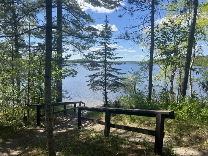
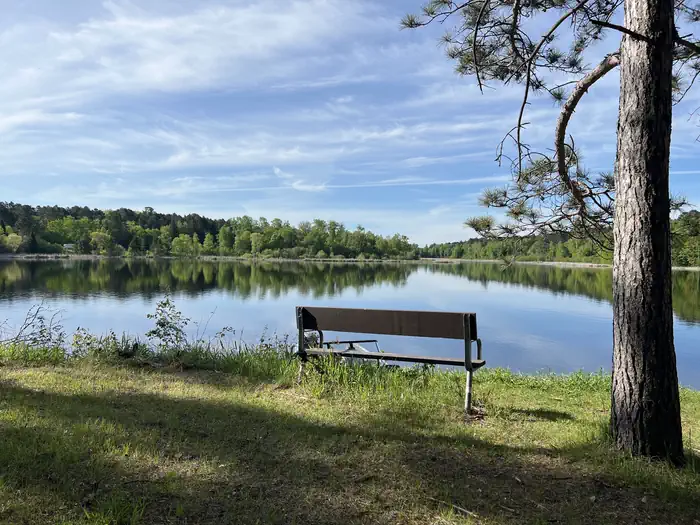
Opportunities for fishing, swimming and boating on Lake Winnibigoshish abound. The Cut Foot Sioux National Recreation Trail runs past the campground and along Seelye Point, it is an unpaved trail used for hiking and horseback riding. The East Seelye Point Trail also runs through the campground, and there is easy access down the road to the Simpson Creek Trail system.
Guidebooks for Minnesota
We earn a small commission if you buy through these links. It does not change what we list.

Titles come from Open Library's catalog, matched by subject heading or by title.
Reference
Questions people ask
Do I need a reservation at East Seelye Bay?
Sites at East Seelye Bay are reservable on Recreation.gov. Any walk-up sites are listed on the booking page.
Source: Recreation.gov
How much does it cost to camp at East Seelye Bay?
Use Fee/ $16 Night
Source: Recreation.gov
Is East Seelye Bay open right now?
Closed for the season as of Oct 16, 2026.
Source: Forest Service status
How many sites does East Seelye Bay have?
14 sites, including 13 standard sites without power.
Source: Recreation.gov
What is there to do at East Seelye Bay?
Opportunities for fishing, swimming and boating on Lake Winnibigoshish abound. The Recreation section on this page has the rest.
Source: Recreation
What if East Seelye Bay is full?
The nearest public campgrounds are Deer Lake (0.9 mi), Williams Narrows (2.1 mi), and Mosomo Point (2.3 mi).
Source: Campgrounds nearby