Poverty Flat
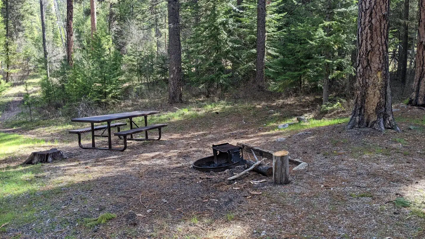
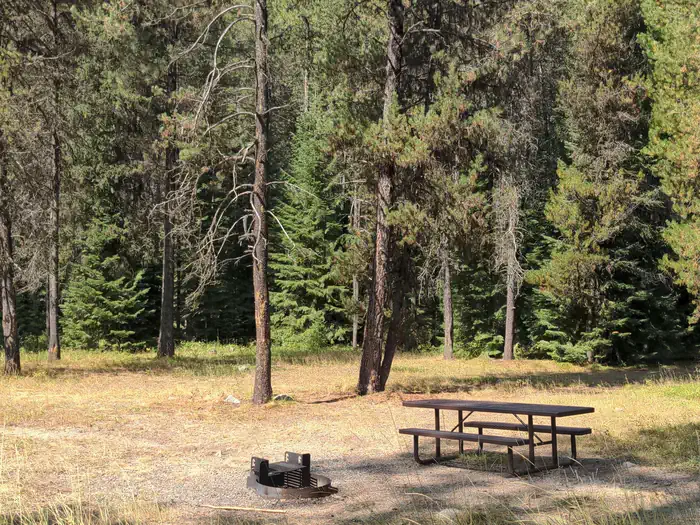
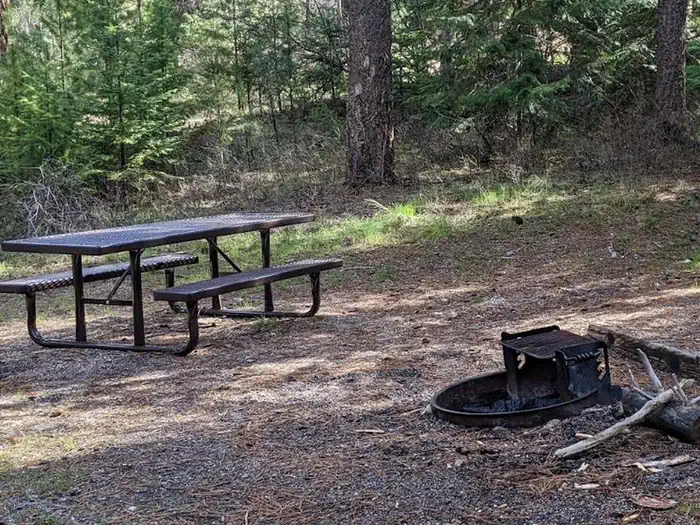
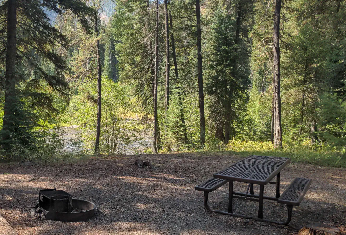
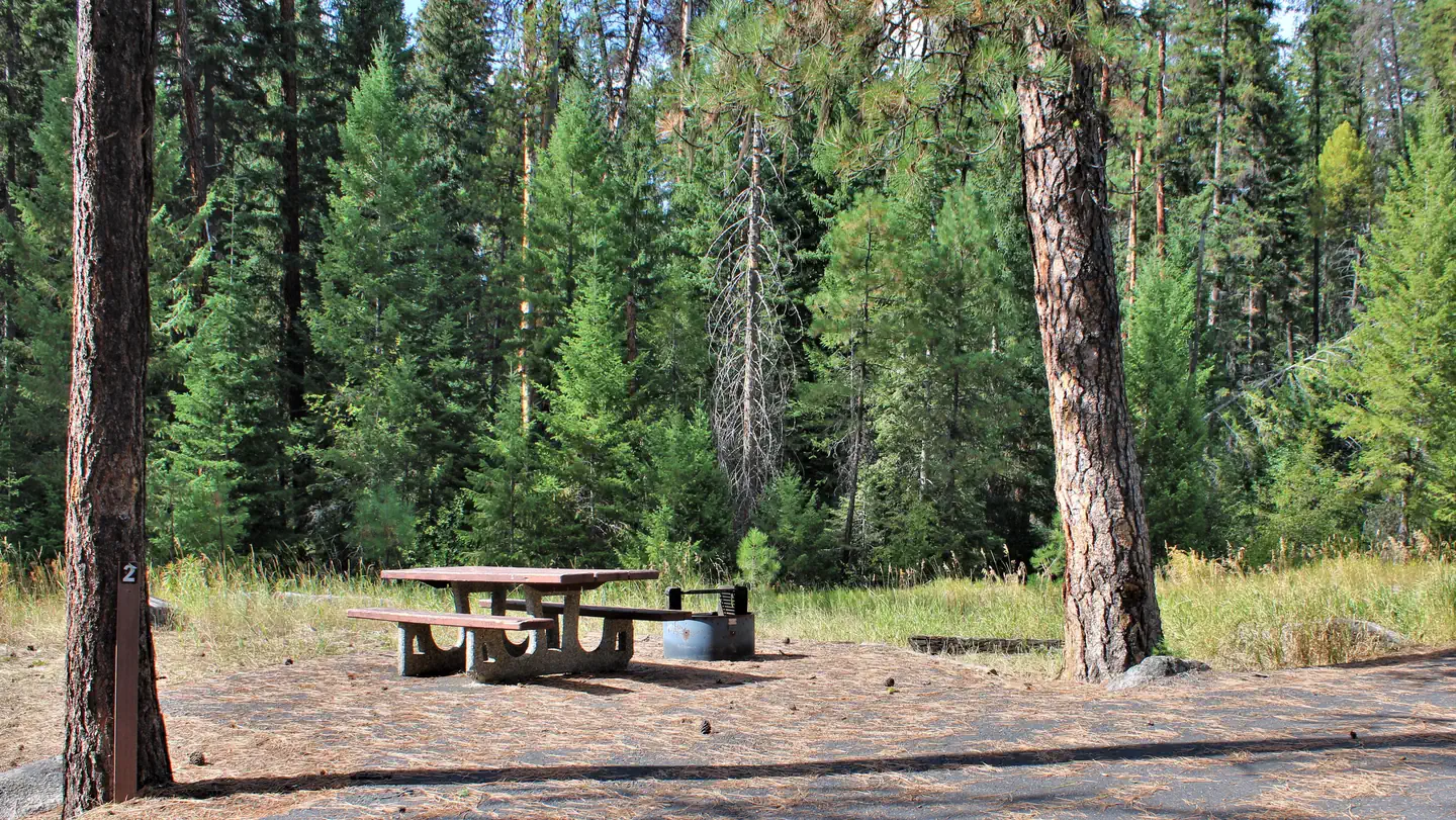
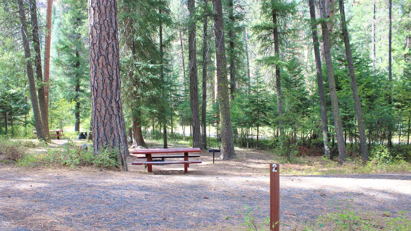
Located along side the South Fork Salmon River, this paved campground offers 10 campsites, including 4 walk in tent sites.
Sites are first-come, first-served. Recreation.gov lists this campground for paying on site, and you may be able to pay with the Scan and Pay feature of its app.
More like this: first-come in Idaho · pets allowed in Idaho
Site mix
| Standard, no hookups | 4 |
| Walk-in | 4 |
| Host/management | 1 |
Amenities & rules
| Pets | Allowed |
Fire rings, hitching rails, toilet, drinking water, pack in/pack out. Please pack out all your trash. No hook-ups.
Individual sites vary. Confirm on Recreation.gov or with the managing office.
Season & status
| Status | Closed for the season. Forest Service sites close for the season; check the official page for the reopening date. |
| Forest | Payette National Forest |
| Fees | $10 single units |
Weather by month
Getting there
From McCall, go 30 miles northeast on Forest Road 48 (Lick Creek Road), then 13 miles south on FR 674 (South Fork Road). The South Fork corridor is about 30 miles from Cascade along the Warm Lake Highway. Usually by July, Lick Creek Pass (Road #48) is snow-free, providing a faster access from McCall (35 miles) to the South Fork corridor.
| Coordinates | 44.8247° N, 115.7024° W · Directions ↗ |
Fire nearby
- PrescribedMeadow Marsh Rx
20 mi from the campground · 70 acres
- PrescribedGoose Rx
25 mi from the campground · 529 acres
- PrescribedMill Creek Council Mtn Rx
30 mi from the campground · 1,817 acres
- PrescribedCold Rx
38 mi from the campground · 1,094 acres
Distance is to the reported incident point, not the fire edge. Call the managing office before you drive.
Explore
Worth a stop
The South Fork of the Salmon River is a highly popular area of the Forest and is one of the earlier areas to be snow-free in the spring. Several campgrounds and dispersed campsites can be found along the South Fork Road (FS Rd #674). The southern-most 7 miles of the South Fork Road are on the Boise National Forest.
- 10.1 miNorth Fork Gold Fork Trailhead ↗Trailhead
- 10.9 miBear Creek / Riordan Trailhead ↗Trailhead
Trails nearby
- 0.3 miBlackmare Creek ↗7.2 mi trail · hiking, horse, bike, motorcycle and 1 more
- 2.4 miSouth Fork Blackmare Cut-Off ↗5 mi trail · hiking, horse, bike
- 2.6 miIndian Ridge ↗17.4 mi trail · hiking, horse, bike, motorcycle and 1 more
- 2.7 miFour Mile ↗10.4 mi trail · hiking, horse, bike, motorcycle and 1 more
- 3.2 miPoverty Overlook Interpretive0.5 mi trail · hiking, horse, bike
- 4 miMartin Ridge ↗10.7 mi trail · hiking, horse, bike
Trailheads within three miles
- 0.1 miBlackmare Trailhead ↗Payette National Forest
- 2.7 miFour Mile Trailhead ↗Payette National Forest
Trail and trailhead records are the Forest Service's. Distances are straight-line to the nearer trail end. Trail conditions are not tracked here.
Public land it sits in
This campground sits inside Payette National Forest.
- inPayette National Forest ↗National Forest · Forest Service · 2,407,306 acres
- 5.5 miFrank Church-River of No Return Wilderness ↗Wilderness · BLM/FS · 2,358,886 acres
Each unit is published as a centre point and an acreage rather than a boundary, so this section stands it in for a circle of the same area. Whether a campground is inside, and how far it is from one it is outside, are both approximate.
Other campgrounds nearby

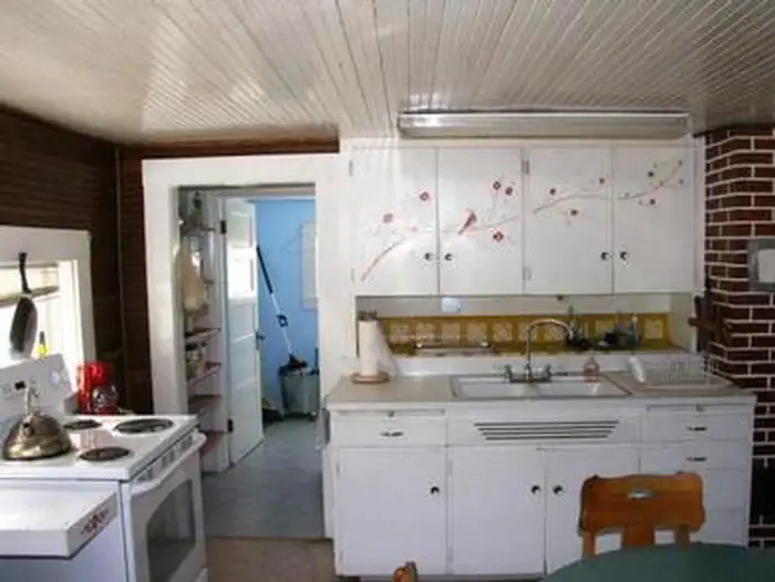
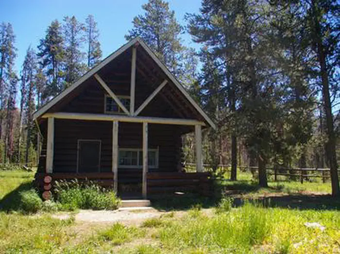
Cabin and lookout rentals nearby
Recreation
The campground serves as take-out for those floating the South Fork of the Salmon River from Goat Creek. Serves as the trailhead for an extensive trail system. Many loop hikes are possible from here, of varying lengths and difficulties. Open to those on foot, horses, mountain bikes, and trail bikes. Fishing in the river.
Guidebooks for Idaho
We earn a small commission if you buy through these links. It does not change what we list.

Titles come from Open Library's catalog, matched by subject heading or by title.
Reference
Questions people ask
Do I need a reservation at Poverty Flat?
No. Poverty Flat is first-come, first-served. Sites are taken on arrival and paid at the fee station.
Source: Forest Service
How much does it cost to camp at Poverty Flat?
$10 single units
Source: Forest Service
What time is check-in at Poverty Flat?
Check-in 2:00 PM, checkout 11:00 AM.
Source: Forest Service
Is Poverty Flat open right now?
Closed for the season as of Oct 16, 2026.
Source: Forest Service status
How many sites does Poverty Flat have?
9 sites, including 4 standard sites without power and 4 walk-in sites.
Source: Forest Service
Are pets allowed at Poverty Flat?
Yes, pets are allowed at Poverty Flat. Leash rules apply.
Source: Forest Service
What is there to do at Poverty Flat?
The campground serves as take-out for those floating the South Fork of the Salmon River from Goat Creek. The Recreation section on this page has the rest.
Source: Recreation
What if Poverty Flat is full?
The nearest public campgrounds are Four Mile (2.7 mi, first-come), Camp Creek (4.6 mi, first-come), and Penny Springs Campground (7.8 mi, first-come).
Source: Campgrounds nearby