Cabin Creek
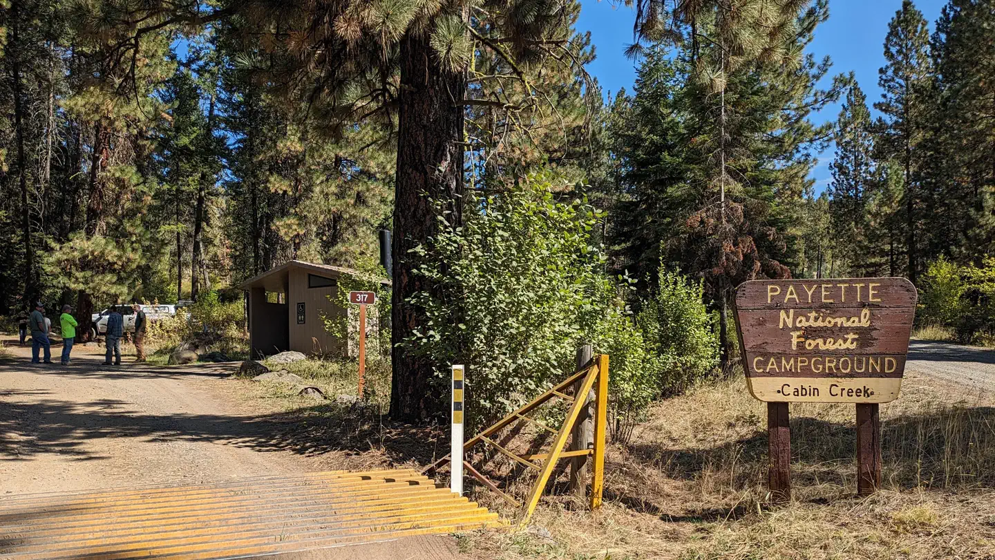
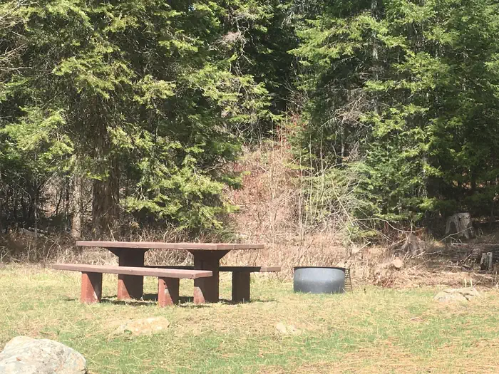
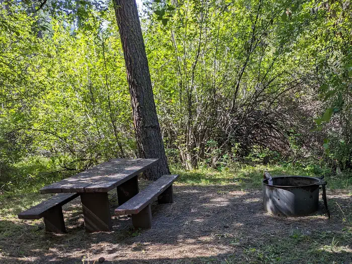
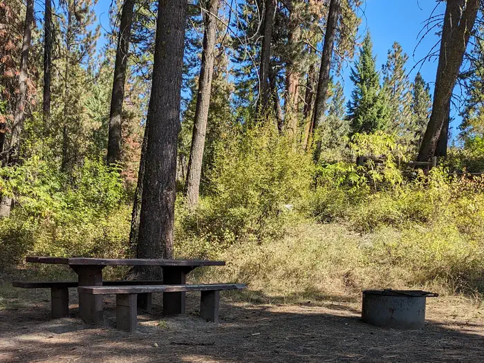
This campground contains 12 campsites in the West Mountains, where a waterfall graces the campground.
Sites are first-come, first-served. Recreation.gov lists this campground for paying on site, and you may be able to pay with the Scan and Pay feature of its app.
More like this: first-come in Idaho · pets allowed in Idaho
Site mix
| Standard, no hookups | 17 |
| Host/management | 3 |
Site guide
6 sites. Tap a filter to narrow the list; the map follows.
| Site | People / vehicles | Fires |
|---|---|---|
| 12 | 6 / – | Yes |
| 13 | 6 / – | Yes |
| 14 | 6 / – | Yes |
| 15 | 6 / – | Yes |
| 16 | 6 / – | Yes |
| 17 | 6 / – | Yes |
Per-site records as published by the managing agency on Recreation.gov. Blank cells mean the agency listed nothing for that site. Check-in 2:00 PM, checkout 11:00 AM.
Amenities & rules
| Pets | Allowed |
| Campfires | Allowed, subject to restrictions |
No hook-ups available. Potable water is available for drinking and cooking.
Individual sites vary. Confirm on Recreation.gov or with the managing office.
Season & status
| Status | Closed for the season. Forest Service sites close for the season; check the official page for the reopening date. |
| Forest | Payette National Forest |
| Fees | $10.00 single units, first-come, first-served. |
Weather by month
Getting there
From Council, go 4 miles south on US 95, then 10 miles east on Forest Road 186.
| Coordinates | 44.6543° N, 116.2730° W · Directions ↗ |
Fire nearby
- PrescribedMill Creek Council Mtn Rx
12 mi from the campground · 1,817 acres
- PrescribedGoose Rx
20 mi from the campground · 529 acres
- PrescribedMeadow Marsh Rx
22 mi from the campground · 70 acres
- PrescribedCold Rx
23 mi from the campground · 1,094 acres
Distance is to the reported incident point, not the fire edge. Call the managing office before you drive.
Supplies & services
| Dump station | Dump station ↗ | 37.8 mi |
Locations © OpenStreetMap contributors. Call ahead; hours change seasonally.
Explore
Video
Cabin Creek Campground | Custer Gallatin National Forest | Site by site campsite tour | Se
Worth a stop
- 7.5 miFour Corners Trailhead ↗Trailhead
- 12.5 mi
Trails nearby
- 0.1 miCouncil Mountain ↗14 mi trail · hiking, horse, bike, motorcycle and 1 more
- 1.3 miMiddle Fk Weiser-Fall Cr1.7 mi trail · hiking, horse, bike, motorcycle and 2 more
- 1.6 miWarm Spring Creek1.8 mi trail · hiking, horse, bike
- 2 miCouncil Mountain Spur0.6 mi trail · hiking, horse, bike, motorcycle and 1 more
- 2.3 miIndian Mountain/Fall Creek ↗5.1 mi trail · hiking, horse, bike, motorcycle and 1 more
- 3.6 miSheep Creek ↗11.4 mi trail · hiking, horse, bike, motorcycle and 1 more
Trail and trailhead records are the Forest Service's. Distances are straight-line to the nearer trail end. Trail conditions are not tracked here.
Public land it sits in
Payette National Forest begins about 3.3 miles away, and it is the closest of these.
- 3.3 miPayette National Forest ↗National Forest · Forest Service · 2,407,306 acres
Each unit is published as a centre point and an acreage rather than a boundary, so this section stands it in for a circle of the same area. Whether a campground is inside, and how far it is from one it is outside, are both approximate.
Other campgrounds nearby
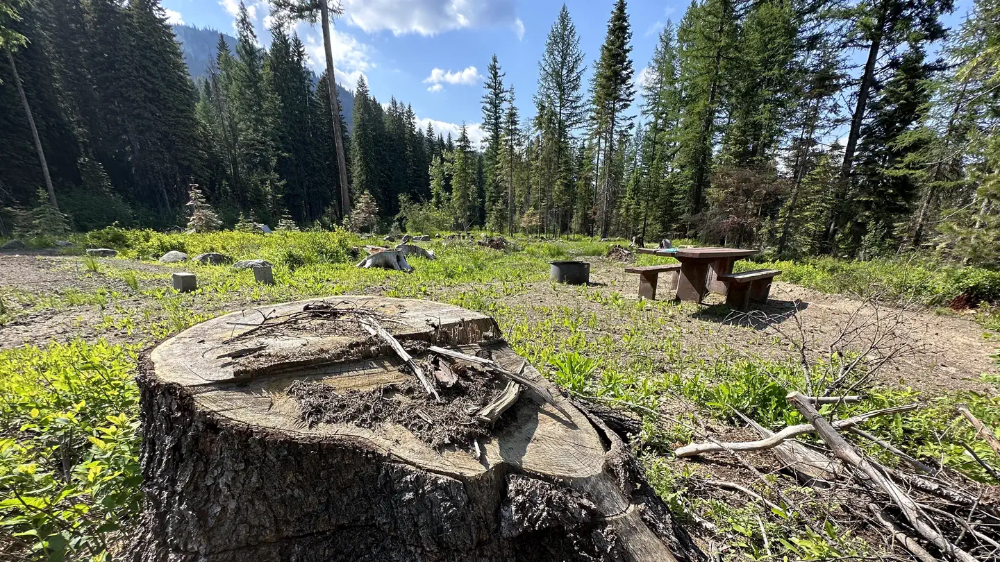
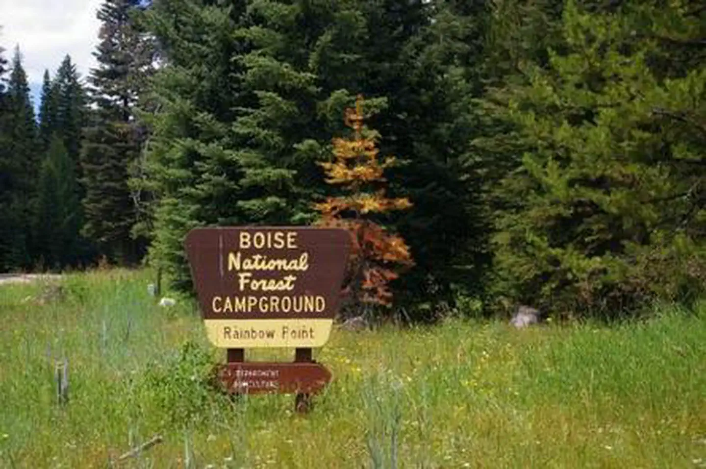
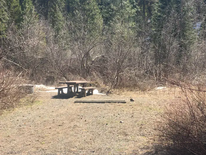
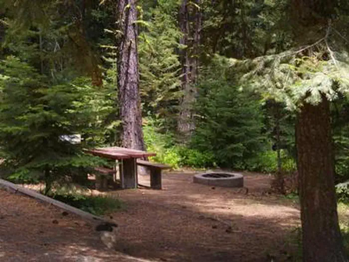
Cabin and lookout rentals nearby
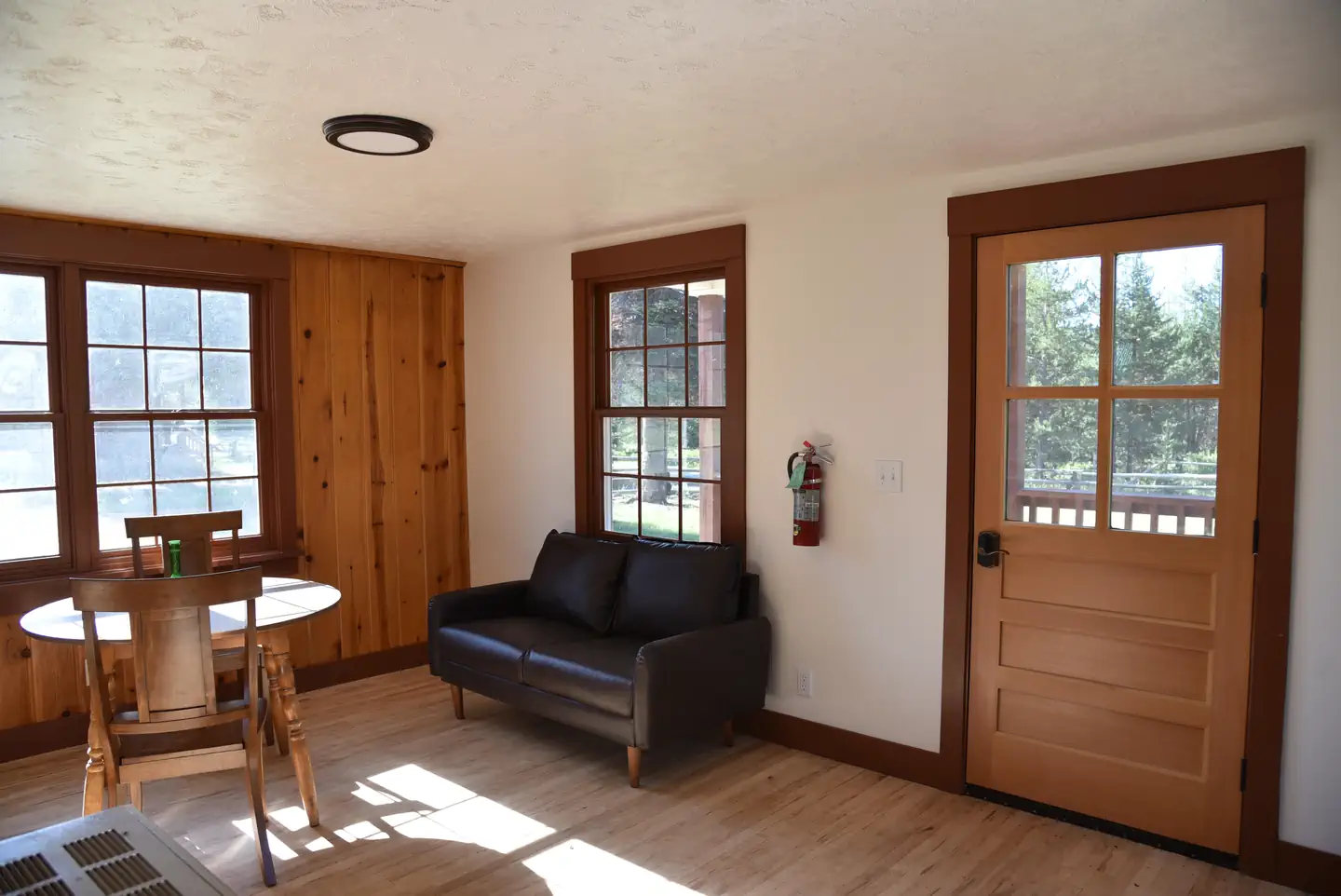
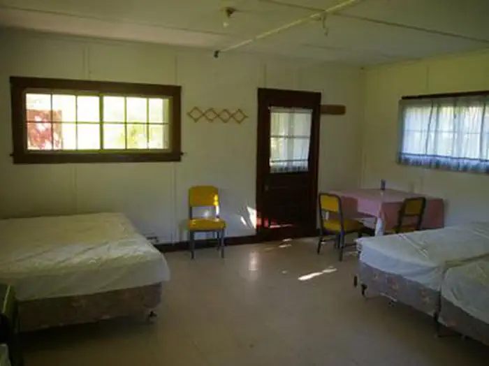
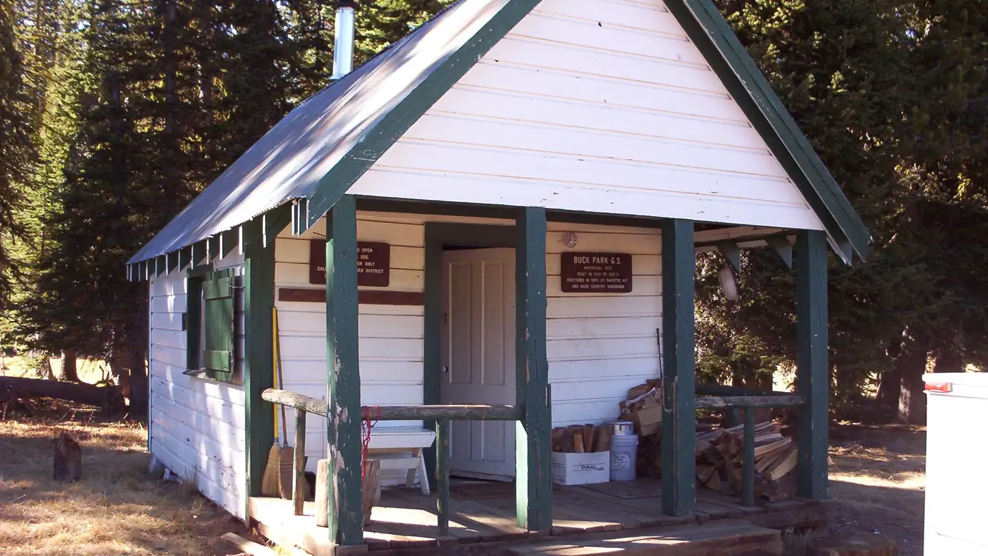
On the National Register nearby
- Indian Mountain Fire LookoutBuilding · Council · 4 mi
- Adams County CourthouseBuilding · Council · 9.4 mi
- Council Ranger StationBuilding · Council · 9.4 mi
Recreation
Fishing in the West Fork of the Weiser River. ATV trail to the south, and a non-motorized vehicle trail to the north. Be careful not to trespass in this area, as the public lands are interspersed with private land.
Guidebooks for Idaho
We earn a small commission if you buy through these links. It does not change what we list.

Titles come from Open Library's catalog, matched by subject heading or by title.
Reference
Questions people ask
Do I need a reservation at Cabin Creek?
No. Cabin Creek is first-come, first-served. Sites are taken on arrival and paid at the fee station.
Source: Forest Service
How much does it cost to camp at Cabin Creek?
$10.00 single units, first-come, first-served.
Source: Forest Service
What time is check-in at Cabin Creek?
Check-in 2:00 PM, checkout 11:00 AM.
Source: Forest Service
Is Cabin Creek open right now?
Closed for the season as of Oct 16, 2026.
Source: Forest Service status
How many sites does Cabin Creek have?
20 sites, including 17 standard sites without power.
Source: Forest Service
Are pets allowed at Cabin Creek?
Yes, pets are allowed at Cabin Creek. Leash rules apply.
Source: Forest Service
Can I have a campfire at Cabin Creek?
Fires are allowed in the provided rings under normal conditions. As of 2026-10-16, there are 4 active fires within 50 miles, so check current restrictions before you light one.
Source: Fire nearby
What is there to do at Cabin Creek?
Fishing in the West Fork of the Weiser River. The Recreation section on this page has the rest.
Source: Recreation
What if Cabin Creek is full?
The nearest public campgrounds are Amanita (7.7 mi, partly first-come), Rainbow Point (7.7 mi, partly first-come), and Big Flat (10.6 mi, first-come).
Source: Campgrounds nearby