Brownlee
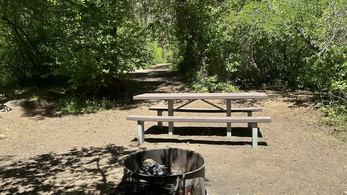
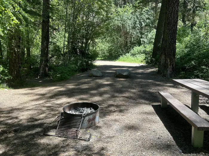
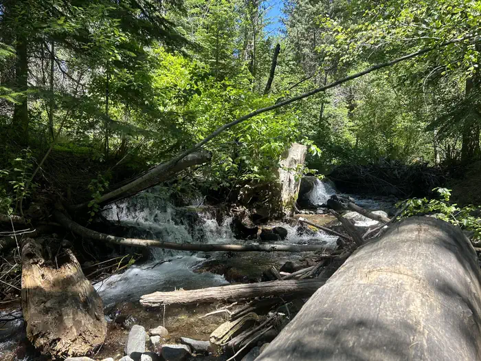
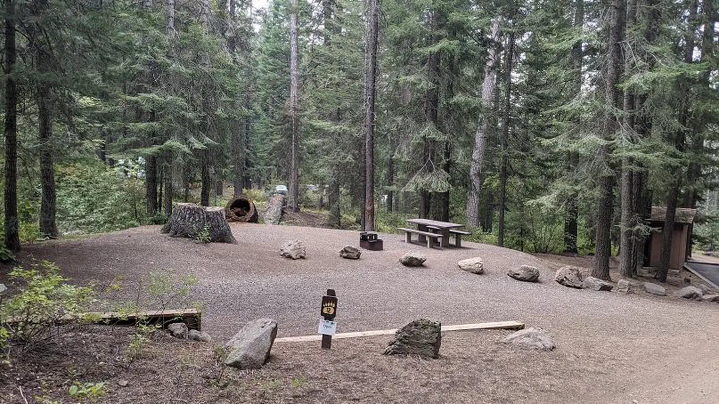
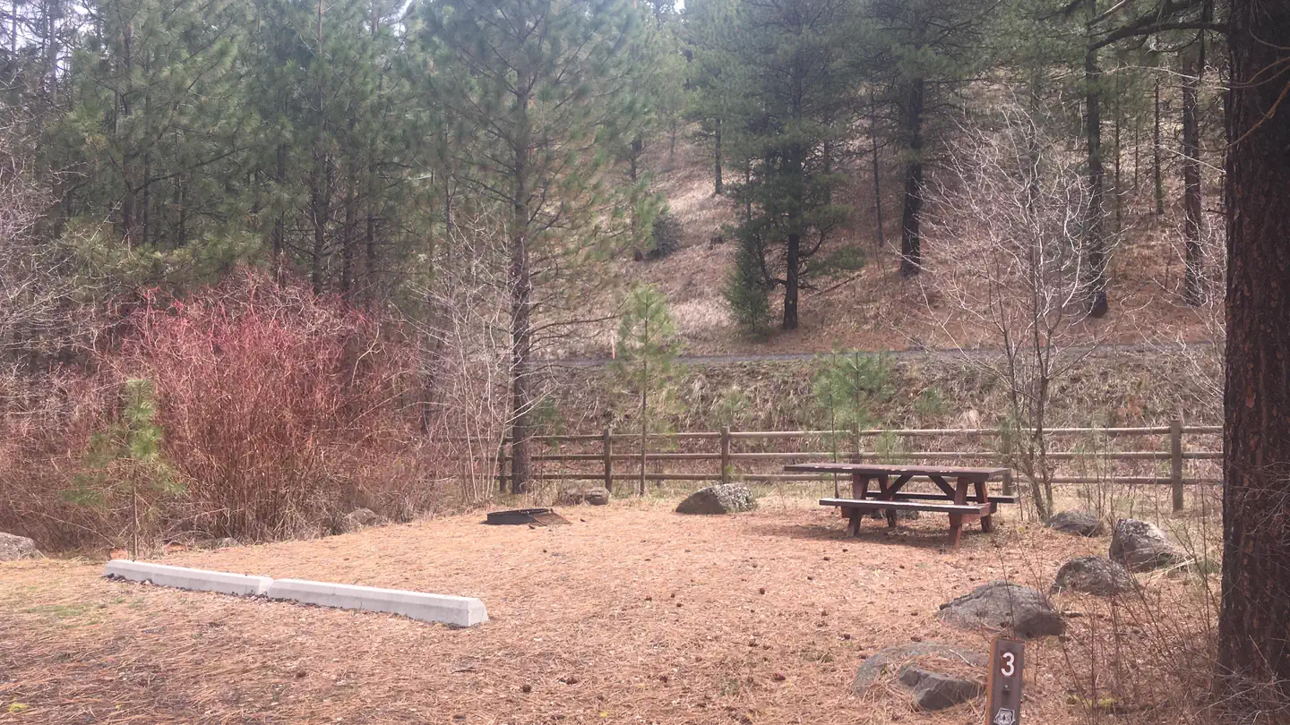
This 11-unit campground is located in Ponderosa pine trees offering shade on a hot summer day. Sites are located a few miles off the main Hwy 71, so it is peaceful and quiet.
Sites are first-come, first-served. Recreation.gov lists this campground for paying on site, and you may be able to pay with the Scan and Pay feature of its app.
More like this: first-come in Idaho · pets allowed in Idaho
Site mix
| Standard, no hookups | 11 |
| Host/management | 1 |
Site guide
1 site. Tap a filter to narrow the list; the map follows.
| Site | Entry | People / vehicles |
|---|---|---|
| 03 | Pull-through | 5 / – |
Per-site records as published by the managing agency on Recreation.gov. Blank cells mean the agency listed nothing for that site. Check-in 2:00 PM, checkout 11:00 AM.
Amenities & rules
| Pets | Allowed |
No hook-ups. Potable water for cooking and drinking is available on-site. Sixteen foot limit for RVs.
Individual sites vary. Confirm on Recreation.gov or with the managing office.
Season & status
| Status | Closed for the season. Forest Service sites close for the season; check the official page for the reopening date. |
| Forest | Payette National Forest |
| Fees | $10.00 single sites |
Weather by month
Getting there
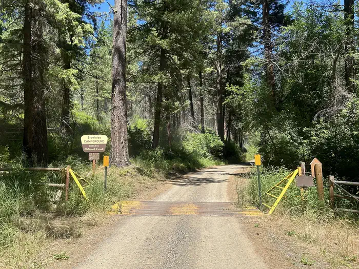
Sixteen miles northwest of Cambridge on Hwy 71, one mile east on Road #044.
| Coordinates | 44.7385° N, 116.8202° W · Directions ↗ |
Fire nearby
- PrescribedCold Rx
24 mi from the campground · 1,094 acres
- PrescribedMill Creek Council Mtn Rx
26 mi from the campground · 1,817 acres
- PrescribedGoose Rx
34 mi from the campground · 529 acres
- PrescribedBrush Rx
36 mi from the campground · 150 acres
Distance is to the reported incident point, not the fire edge. Call the managing office before you drive.
Supplies & services
| Dump station | Dump station ↗ | 21.1 mi |
| Outdoor gear | Joseph Fly Shope and Lamb Trading ↗ | 47 mi |
Locations © OpenStreetMap contributors. Call ahead; hours change seasonally.
Explore
Video
A Video Tour of Idaho Power's Woodhead Park on Brownlee Reservoir
Trails nearby
- 0.3 miUpper Camp Creek Trail0.8 mi trail · hiking, horse, bike
- 0.4 miCamp Creek ↗4.5 mi trail · hiking, horse, bike, motorcycle and 1 more
- 1.1 miE/F Brownlee Creek2.9 mi trail · hiking, horse, bike, motorcycle and 1 more
- 1.6 miCracker Jack Creek ↗6.1 mi trail · hiking, horse, bike, motorcycle and 2 more
- 1.9 miGrade Creek/044 (end of Road 0 ↗7.9 mi trail · hiking, horse, bike
- 2.3 miBrownlee Ck/Grade Ck Conn3 mi trail · hiking, horse, bike, motorcycle and 1 more
Trailheads within three miles
- 2.5 miEast Fork Brownlee Trailhead ↗Payette National Forest
Trail and trailhead records are the Forest Service's. Distances are straight-line to the nearer trail end. Trail conditions are not tracked here.
Public land it sits in
Wallowa-Whitman National Forest begins about 11.3 miles away, and it is the closest of these.
- 11.3 miWallowa-Whitman National Forest ↗National Forest · Forest Service · 2,525,292 acres
Each unit is published as a centre point and an acreage rather than a boundary, so this section stands it in for a circle of the same area. Whether a campground is inside, and how far it is from one it is outside, are both approximate.
Other campgrounds nearby

Cabin and lookout rentals nearby
On the National Register nearby
- Edwards–Gillette BarnBuilding · Cambridge · 11.6 mi
- Wilson HouseBuilding · Cambridge · 13.1 mi
- Salubria Lodge No. 31Building · Cambridge · 13.4 mi
Guidebooks for Idaho
We earn a small commission if you buy through these links. It does not change what we list.

Titles come from Open Library's catalog, matched by subject heading or by title.
Reference
Questions people ask
Do I need a reservation at Brownlee?
No. Brownlee is first-come, first-served. Sites are taken on arrival and paid at the fee station.
Source: Forest Service
How much does it cost to camp at Brownlee?
$10.00 single sites
Source: Forest Service
What time is check-in at Brownlee?
Check-in 2:00 PM, checkout 11:00 AM.
Source: Forest Service
Is Brownlee open right now?
Closed for the season as of Oct 16, 2026.
Source: Forest Service status
How many sites does Brownlee have?
12 sites, including 11 standard sites without power.
Source: Forest Service
Are pets allowed at Brownlee?
Yes, pets are allowed at Brownlee. Leash rules apply.
Source: Forest Service
What if Brownlee is full?
The nearest public campgrounds are Spring Creek Campground (13.2 mi), Justrite Campground (15.2 mi, first-come), and Lafferty (16.1 mi, first-come).
Source: Campgrounds nearby