West Fork Madison Campground
West Fork is a small seven unit campground along the banks of the West Fork of the Madison River. The access road divides the campground with 2 sites north of the road and a 5 site loop on the south. Trailers are not permitted due to the tight, narrow turns and small camp spaces. This is a First Come - First Served campground. Reservations are not available.
More like this: reservable in Montana · pets allowed in Montana
Check availability on Recreation.gov ↗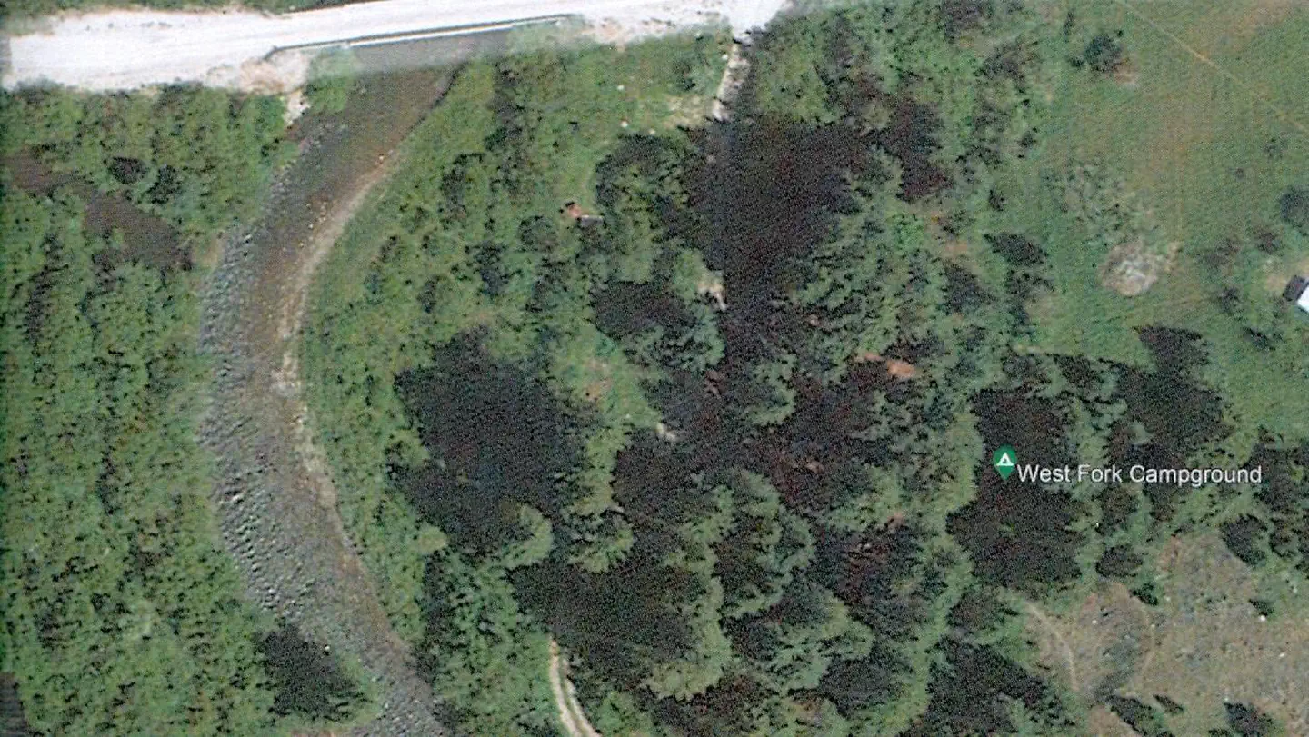


Site mix
| Standard, no hookups | 1 |
Site guide
1 site. Tap a filter to narrow the list; the map follows.
| Site | Entry | Surface | Shade | Waterfront | People / vehicles | Fires |
|---|---|---|---|---|---|---|
| Standard | Back-in | Gravel | Partial | Riverfront | 6 / – | Yes |
Per-site records as published by the managing agency on Recreation.gov. Blank cells mean the agency listed nothing for that site. Check-in 02:00 PM, checkout 11:00 AM.
Amenities & rules
| Pets | Allowed |
| Campfires | Allowed, subject to restrictions |
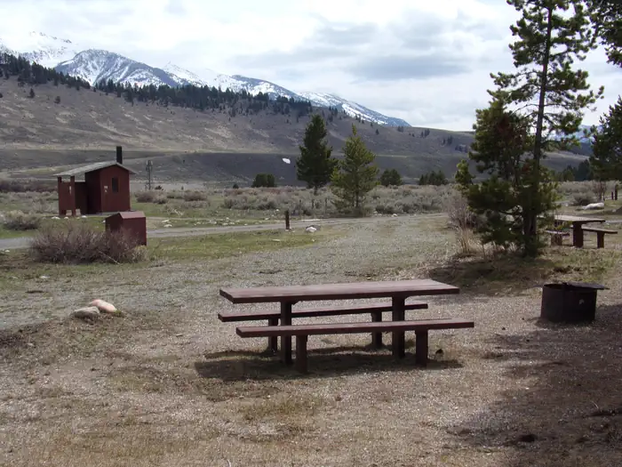
There is a fire ring and picnic table in each campsite. There are bear-proof food storage lockers on each side of the campground. A water spigot and two outhouses are located in the loop.
Individual sites vary. Confirm on Recreation.gov or with the managing office.
Season & status
| Status | Open |
| Forest | Beaverhead-Deerlodge National Forest |
| Booking | No reservations. |
| Fees | There is a $12 per night fee for this campground. Cash or check only. No change available, please bring correct amount. |
| Rules | 16 day stay limit. Food Storage Requirements. |
Weather by month
Getting there
| Nearest town | Ennis, Montana |
| Coordinates | 44.8834° N, 111.5798° W · Directions ↗ |
Fire nearby
- PrescribedRx Hell'S Canyon
41 mi from the campground
- PrescribedShenango Pile Rx
43 mi from the campground
Distance is to the reported incident point, not the fire edge. Call the managing office before you drive.
Supplies & services
| Dump station | Dump station ↗ | 28.1 mi |
| Outdoor gear | Eagle's Curios ↗ | 28.2 mi |
Locations © OpenStreetMap contributors. Call ahead; hours change seasonally.
Explore
Worth a stop
The west entrance to Yellowstone National Park is less than 40 miles away.
- 5.9 mi
- 6.6 miWindy Point Boat Launch ↗Boat launch
- 8.2 miPalisades Day Use ↗Day use
- 9.6 miQuake Lake Boat Launch ↗Boat launch
Trails nearby
- 0.2 miWest Fork Madison Spur0.4 mi trail
- 0.8 miGold Butte3.1 mi trail
- 0.9 miBlack Butte Loop Snowmobile ↗49.7 mi trail
- 1 miPapoose Creek ↗8.4 mi trail
- 2.3 miFlatiron Loop Snowmobile ↗15.1 mi trail
- 2.5 miPapoose Bench3.4 mi trail
Trail and trailhead records are the Forest Service's. Distances are straight-line to the nearer trail end. Trail conditions are not tracked here.
Public land it sits in
Lee Metcalf Wilderness begins about 9.9 miles away, and it is the closest of these.
- 9.9 miLee Metcalf Wilderness ↗Wilderness · BLM/FS · 242,068 acres
- 13.7 miRed Rock Lakes National Wildlife Refuge ↗National Wildlife Refuge · Fish and Wildlife Service · 85,504 acres
Each unit is published as a centre point and an acreage rather than a boundary, so this section stands it in for a circle of the same area. Whether a campground is inside, and how far it is from one it is outside, are both approximate.
Other campgrounds nearby

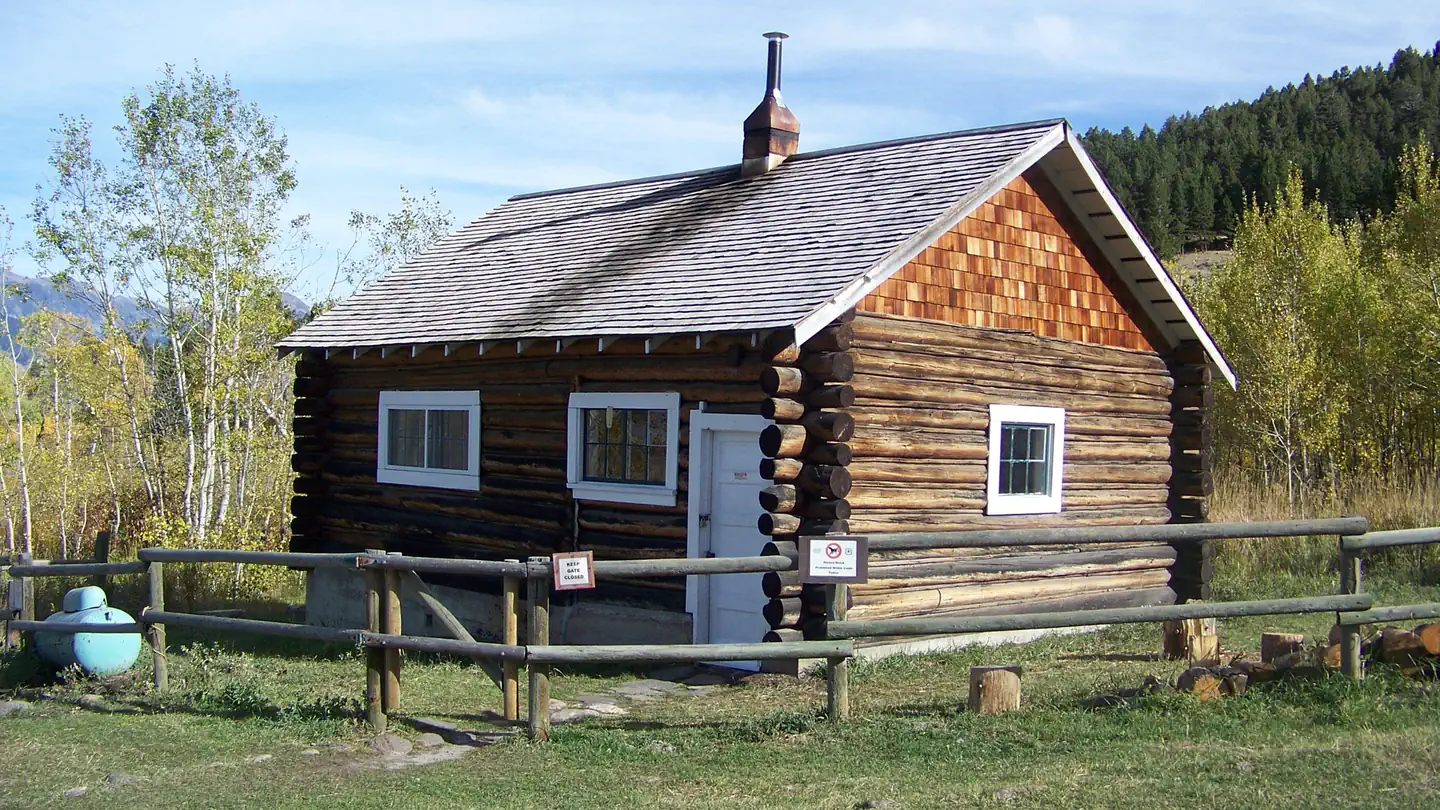
Cabin and lookout rentals nearby

On the National Register nearby
- Hutchins BridgeStructure · Cameron · 0.4 mi
Natural features
The campground is located along the West Fork River, near it's confluence with the Madison, in a grove of old growth spruce and Douglas Fir. The vegetation is dense and shaded.
Recreation
Fishing is available in both the West Fork and Madison Rivers. The West Fork road provides access to OHV trails and scenic drives in the Gravelly Mountains. There are hiking trails in Lee Metcalf Wilderness.
Guidebooks for Montana
We earn a small commission if you buy through these links. It does not change what we list.

Titles come from Open Library's catalog, matched by subject heading or by title.
Reference
Questions people ask
Do I need a reservation at West Fork Madison Campground?
Sites at West Fork Madison Campground are reservable on Recreation.gov. No reservations. Any walk-up sites are listed on the booking page.
Source: Recreation.gov
How much does it cost to camp at West Fork Madison Campground?
There is a $12 per night fee for this campground. Cash or check only. No change available, please bring correct amount.
Source: Recreation.gov
What time is check-in at West Fork Madison Campground?
Check-in 02:00 PM, checkout 11:00 AM.
Source: Recreation.gov
Is West Fork Madison Campground open right now?
Open as of Oct 16, 2026.
Source: Forest Service status
How many sites does West Fork Madison Campground have?
1 site, including 1 standard site without power.
Source: Recreation.gov
Are pets allowed at West Fork Madison Campground?
Yes, pets are allowed at West Fork Madison Campground. Leash rules apply.
Source: Recreation.gov
Can I have a campfire at West Fork Madison Campground?
Fires are allowed in the provided rings under normal conditions. As of 2026-10-16, there are 2 active fires within 50 miles, so check current restrictions before you light one. 16 day stay limit.
Source: Fire nearby
Is there cell service at West Fork Madison Campground?
FCC coverage maps show AT&T 5G and T-Mobile 5G at the campground point. Terrain changes that from one site to the next.
Source: FCC Broadband Map
What is there to do at West Fork Madison Campground?
Fishing is available in both the West Fork and Madison Rivers. The Recreation section on this page has the rest.
Source: Recreation
What is the nearest town to West Fork Madison Campground?
Ennis, Montana. The west entrance to Yellowstone National Park is less than 40 miles away.
Source: Getting there
What if West Fork Madison Campground is full?
The nearest public campgrounds are Riverview Campground (0.2 mi), Madison River (0.5 mi), and Wade Lake (5.4 mi).
Source: Campgrounds nearby