Scott Lake
Sites are first-come, first-served. Recreation.gov lists this campground for paying on site, and you may be able to pay with the Scan and Pay feature of its app.
More like this: first-come in Oregon · pets allowed in Oregon

Amenities & rules
| Hookups | None |
| Max vehicle length | 12 ft |
| Equipment | RVs & trailers, Tents |
| Pets | Allowed |
| Campfires | Allowed, subject to restrictions |
| Fees | $5/vehicle/day or valid recreation pass |
Individual sites vary. Confirm on Recreation.gov or with the managing office.
Season & status
| Status | Closed for the season. Forest Service sites close for the season; check the official page for the reopening date. |
| Season | Mid-July (weather dependent) to Late October (dependent on McKenzie Highway 242) |
| Forest | Willamette National Forest |
| Fees | $5/vehicle/day or valid recreation pass |
| Rules | No trailer facilities. Camping is not allowed more than 14 days in a 60 day period. Use of chainsaws in the campground is prohibited. Dogs MUST be on leash at all times within the campground |
Weather by month
Getting there
| Nearest town | Blue River, Oregon |
| Coordinates | 44.2123° N, 121.8880° W · Directions ↗ |
Fire nearby
- PrescribedJunction Rx
27 mi from the campground
- PrescribedCamas Ts Rx
27 mi from the campground
- WildfireBench
39 mi from the campground · 67,071 acres · 90% contained
- PrescribedSisi Lookout Admin Piles Rx - West
47 mi from the campground
Distance is to the reported incident point, not the fire edge. Call the managing office before you drive.
Supplies & services
| Outdoor gear | Sportsman's Warehouse ↗ | 30 mi |
| RV sales & service | Big Country RV ↗ | 30.3 mi |
| Dump station | Dump station ↗ | 38.7 mi |
Locations © OpenStreetMap contributors. Call ahead; hours change seasonally.
Explore
Worth a stop
- 8.1 miOlallie Day Use ↗Day use
- 13 miFrissell South Trailhead ↗Trailhead
- 13.8 miMckenzie River Trailhead - Upper ↗Trailhead
- 14.4 mi
Trails nearby
- 0.3 miHand Lake ↗6.6 mi trail · hiking, horse
- 0.5 miScott ↗5 mi trail · hiking, horse
- 0.8 miScott-Obsidian Tie0.6 mi trail · hiking, horse, bike
- 1 miObsidian ↗5.2 mi trail · hiking, horse
- 1.2 miHand Lake Cutoff0.6 mi trail · hiking, horse
- 1.2 miBenson ↗5.8 mi trail · hiking, horse
Trailheads within three miles
- 0.3 miBenson / Tenas Trailhead ↗Willamette National Forest
- 0.5 miScott Trailhead ↗Willamette National Forest
- 0.8 miObsidian Hiker Trailhead ↗Willamette National Forest
- 0.9 miObsidian Stock Trailhead ↗Willamette National Forest
Trail and trailhead records are the Forest Service's. Distances are straight-line to the nearer trail end. Trail conditions are not tracked here.
Public land it sits in
This campground sits inside Three Sisters Wilderness, which overlaps Willamette National Forest.
- inThree Sisters Wilderness ↗Wilderness · Forest Service · 283,818 acres
- inWillamette National Forest ↗National Forest · Forest Service · 1,801,292 acres
- 0.9 miDeschutes National Forest ↗National Forest · Forest Service · 1,870,116 acres
Each unit is published as a centre point and an acreage rather than a boundary, so this section stands it in for a circle of the same area. Whether a campground is inside, and how far it is from one it is outside, are both approximate.
Other campgrounds nearby


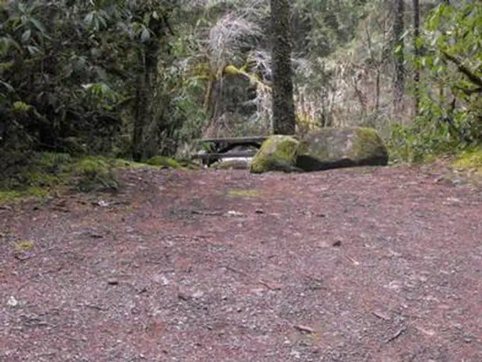
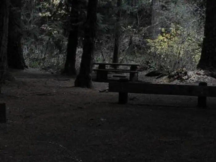
Cabin and lookout rentals nearby
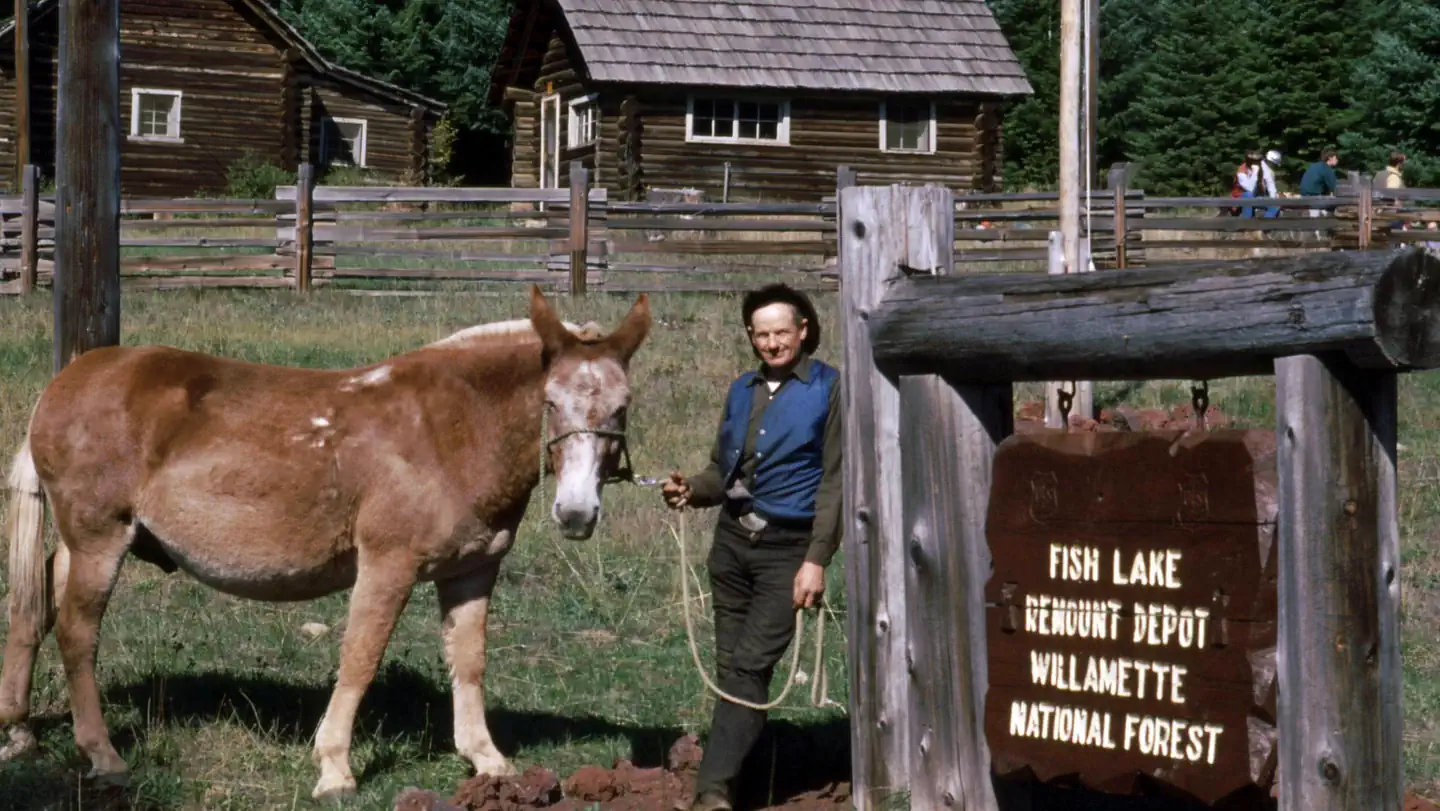
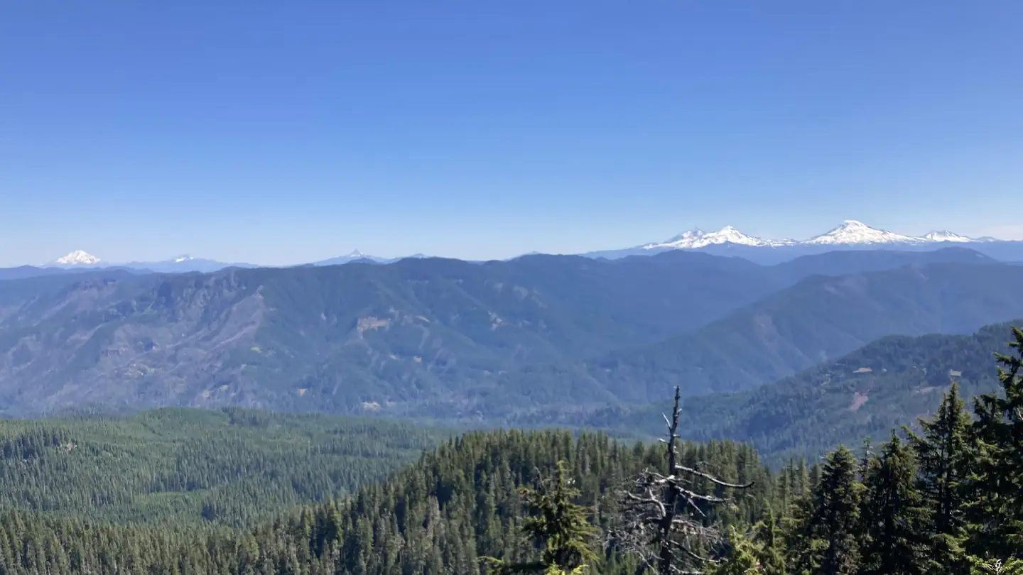
On the National Register nearby
- Log Cabin Inn EnsembleBuilding · McKenzie Bridge · 13.7 mi
- Santiam Pass Ski LodgeBuilding · Sisters · 14.5 mi
Guidebooks for Oregon
We earn a small commission if you buy through these links. It does not change what we list.

Titles come from Open Library's catalog, matched by subject heading or by title.
Reference
Questions people ask
Do I need a reservation at Scott Lake?
No. Scott Lake is first-come, first-served. Sites are taken on arrival and paid at the fee station.
Source: Forest Service
How much does it cost to camp at Scott Lake?
$5/vehicle/day or valid recreation pass
Source: Forest Service
Is Scott Lake open right now?
Closed for the season as of Oct 16, 2026. Season Mid-July (weather dependent) to Late October (dependent on McKenzie Highway 242).
Source: Forest Service status
How many sites does Scott Lake have?
18 sites.
Source: Forest Service
Will my RV fit at Scott Lake?
The longest site here provides 12 feet of vehicle capacity. Most sites are shorter. The sidebar tool checks a trailer or motorhome length against every site.
Source: Will my RV fit
Are pets allowed at Scott Lake?
Yes, pets are allowed at Scott Lake. Leash rules apply.
Source: Forest Service
Can I have a campfire at Scott Lake?
Fires are allowed in the provided rings under normal conditions. As of 2026-10-16, there are 4 active fires within 50 miles, so check current restrictions before you light one. No trailer facilities.
Source: Fire nearby
What is the nearest town to Scott Lake?
Blue River, Oregon.
Source: Getting there
What if Scott Lake is full?
The nearest public campgrounds are Alder Springs (2.6 mi, first-come), Lava Lake Campground (6 mi, first-come), and Olallie On Mckenzie Highway - Willamette (8.1 mi, partly first-come).
Source: Campgrounds nearby