North Fork Campground
This campground is the highest elevation campground on the Salida Ranger District. The elevation is 11,000 feet and the campsites are situated on the north shore of the North Fork Reservoir. The road to the campground is very rough and not recommended for vehicles towing trailers. High clearance vehicles are a requirement for reaching this campground. No trash service.
Sites are first-come, first-served. Recreation.gov lists this campground for paying on site, and you may be able to pay with the Scan and Pay feature of its app.
More like this: first-come in Colorado

Amenities & rules
This campground is the highest elevation campground on the Salida Ranger District. The elevation is 11,000 feet and the campsites are situated on the north shore of the North Fork Reservoir. The road to the campground is very rough and not recommended for vehicles towing trailers. High clearance vehicles are a requirement for reaching this campground. No trash service.
Individual sites vary. Confirm on Recreation.gov or with the managing office.
Season & status
| Status | Closed for the season. Forest Service sites close for the season; check the official page for the reopening date. |
| Forest | Pike-San Isabel National Forests |
| Booking | No reservations are accepted. |
| Fees | $20 per site for overnight camping. Two vehicles or one RV per site is included in the camping fee. $10.00 for a third vehicle. $10.00 fee for day use if not camping overnight. Fees are payable by cash, check or money order. Self-servicing fee tube is available. |
| Rules | No motorized water craft. Maximum 8 persons per site: 2 tents and 2 vehicles or 1 recreation vehicle. Dogs must be leashed at all times in the campground. No discharge of firearms or fireworks. |
Weather by month
Getting there
From Salida, CO, travel west for 5 miles to Poncha Springs, CO then continue west on Highway 50 for 6 miles to County Road 240. Turn right on CR 240 and stay on this road for 3 miles to the Angel of Shavano campground. From the campground the road continues west for 6 miles to the North Fork reservoir and campground.
| Coordinates | 38.6118° N, 106.3203° W · Directions ↗ |
Fire nearby
- WildfireWillow
43 mi from the campground · 7,359 acres · 92% contained
Distance is to the reported incident point, not the fire edge. Call the managing office before you drive.
Supplies & services
| RV sales & service | Holiday RV ↗ | 14.7 mi |
| Outdoor gear | Salida Mountain Sports ↗ | 18.5 mi |
| Dump station | Dump station ↗ | 18.9 mi |
Locations © OpenStreetMap contributors. Call ahead; hours change seasonally.
No site-by-site records, no fee schedule or photos in the Recreation.gov record. What is here comes from the agency's own listing. The rest lives there.
Checked nightly. Modules appear as soon as the record fills in.
Explore
Worth a stop
- 8 miMonarch Pass Overlook & Trailhead ↗Trailhead
- 8.3 miChalk Lake Fishing Site ↗Fishing site
- 12.6 miQuartz Creek Fishing Site ↗Fishing site
- 14.1 mi
Trails nearby
- 2 miPomeroy Lakes0.9 mi trail · hiking, horse, bike, motorcycle and 2 more
- 2.2 miHancock Lake/CDNST ↗6.3 mi trail · hiking, horse, bike
- 2.9 miAlpine Tunnel2.9 mi trail · hiking, horse, bike
- 3 miHancock Pass Jeep1 mi trail · hiking, horse, bike, motorcycle and 3 more
- 3.2 miWilliams Pass 4WD Trail1.7 mi trail · hiking, horse, bike, motorcycle and 3 more
- 3.3 miBoss Lake/CDNST1.2 mi trail · hiking, horse, bike
Trail and trailhead records are the Forest Service's. Distances are straight-line to the nearer trail end. Trail conditions are not tracked here.
Public land it sits in
Browns Canyon National Monument begins about 14.2 miles away, and it is the closest of these.
- 14.2 miBrowns Canyon National Monument ↗National Monument · Bureau of Land Management · 21,709 acres
- 14.4 miFossil Ridge Wilderness ↗Wilderness · Forest Service · 32,062 acres
Each unit is published as a centre point and an acreage rather than a boundary, so this section stands it in for a circle of the same area. Whether a campground is inside, and how far it is from one it is outside, are both approximate.
Other campgrounds nearby
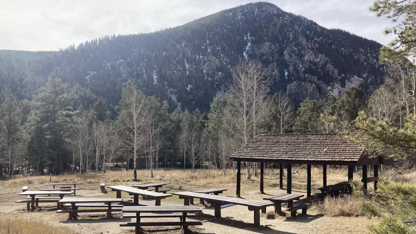
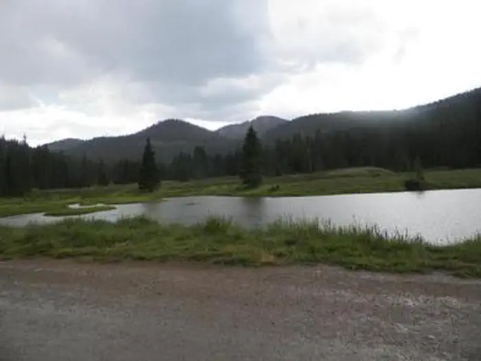

Cabin and lookout rentals nearby
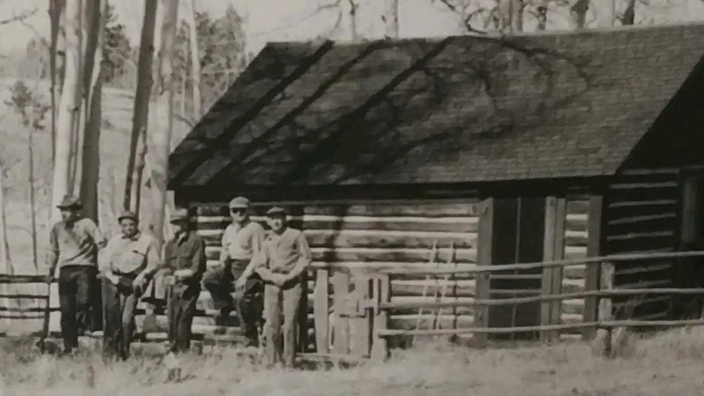
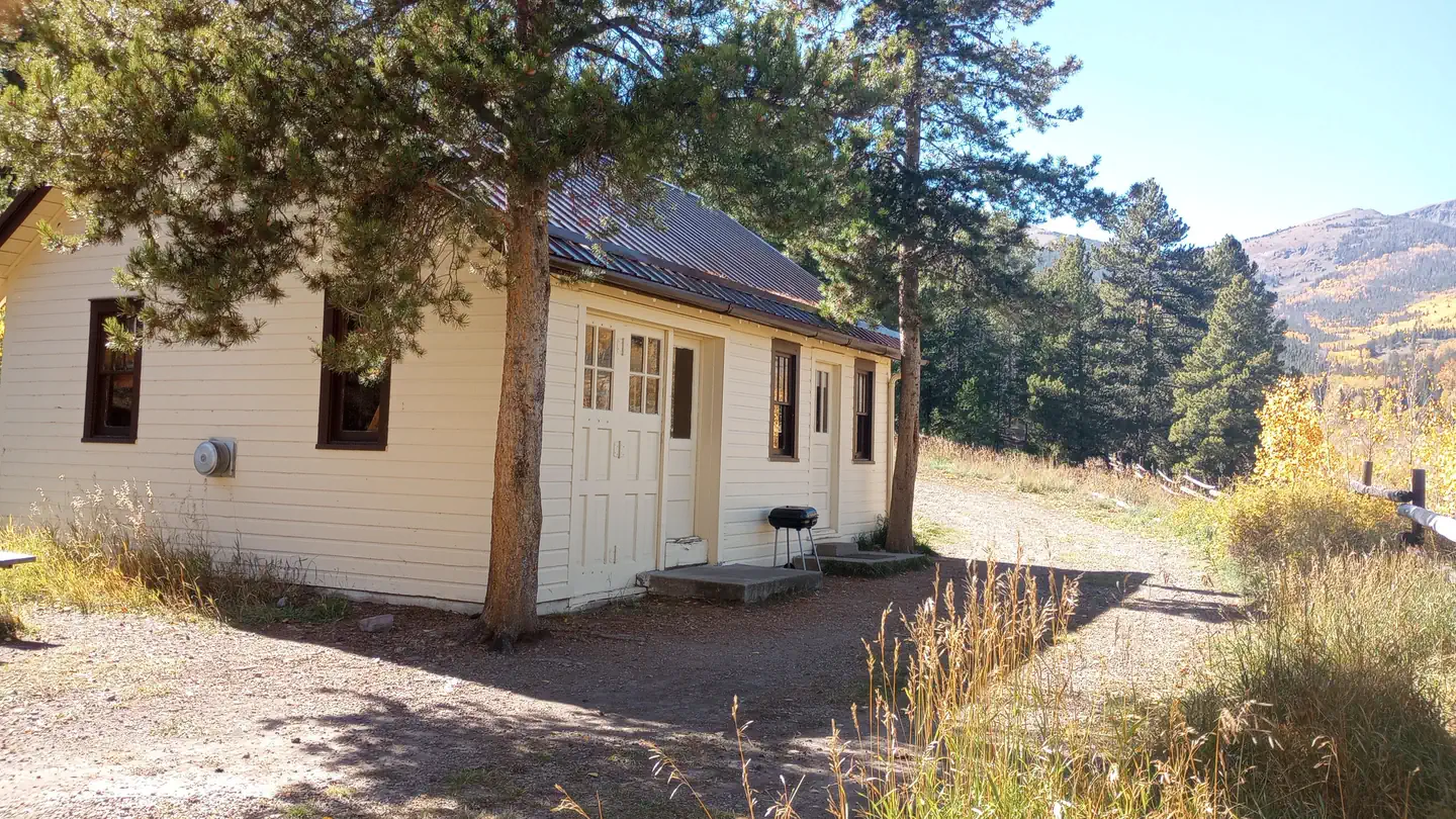
On the National Register nearby
- Morley BridgeStructure · Romley · 5 mi
- Maysville SchoolBuilding · Maysville · 8.6 mi
- Gas Creek SchoolBuilding · Nathrop · 14.7 mi
Guidebooks for Colorado
We earn a small commission if you buy through these links. It does not change what we list.



Titles come from Open Library's catalog, matched by subject heading or by title.
Reference
Questions people ask
Do I need a reservation at North Fork Campground?
No. North Fork Campground is first-come, first-served. No reservations are accepted. Sites are taken on arrival and paid at the fee station.
Source: Forest Service
How much does it cost to camp at North Fork Campground?
$20 per site for overnight camping. Two vehicles or one RV per site is included in the camping fee. $10.00 for a third vehicle.
Source: Forest Service
Is North Fork Campground open right now?
Closed for the season as of Oct 16, 2026.
Source: Forest Service status
What if North Fork Campground is full?
The nearest public campgrounds are Angel Of Shavano (5.7 mi, first-come), Angel Of Shavano Group (5.8 mi), and Monarch Park (6.7 mi).
Source: Campgrounds nearby