Mount Heyburn Campground
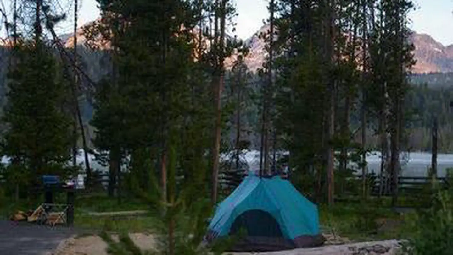
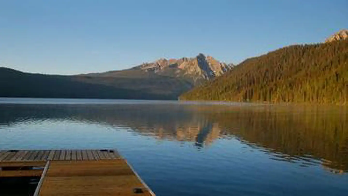
Mt. Heyburn Campground is composed of 19 campsites on the east side of Redfish Lake and all sites are first-come, first-serve. The campground is situated in a lodgepole pine forest. The Visitor Center offers area information and interpretive programs. There is a boat ramp at Sandy Beach boat launch, on the eastern shore of the lake. Take a short tour on the interpretive Fishhook Nature Trail or a longer walk west into the beautiful Sawtooth Wilderness to battle wild cutthroat in the alpine lakes. A section of the Idaho Centennial Trail passes near the area. Equestrian stables, a dump station, and boat rentals can be found at Redfish Lake Lodge.
Sites are first-come, first-served. Recreation.gov lists this campground for paying on site, and you may be able to pay with the Scan and Pay feature of its app.
More like this: first-come in Idaho · tent only in Idaho

Site map
14 campsite locations mapped by OpenStreetMap contributors. The site numbers are theirs and may not match the posts at the campground. Map data © OpenStreetMap contributors, ODbL.
Amenities & rules
| Equipment | Tents |
| Fees | Sawtooth NRA Camping Fees and Information |
Individual sites vary. Confirm on Recreation.gov or with the managing office.
Season & status
| Status | Open |
| Season | May to September |
| Forest | Sawtooth National Forest |
| Fees | Sawtooth NRA Camping Fees and Information |
| Rules | Please keep pets on a leash. All occupancy (includes developed/dispersed camping, boats, boat trailers, travel trailers, tents, etc): Occupancy limit is 10 days in a 30 day period within a 30 mile radius for all of SNRA. You must occupy the campsite the first night and campsites cannot be left unattended for more than 24 hours. |
Weather by month
Getting there
| Coordinates | 44.1354° N, 114.9145° W · Directions ↗ |
Fire nearby
- PrescribedRx Lowman Wui
27 mi from the campground
- PrescribedParadise Rx
29 mi from the campground
- PrescribedBartlett Creek Rx
39 mi from the campground · 2,000 acres
Distance is to the reported incident point, not the fire edge. Call the managing office before you drive.
Explore
Worth a stop
- 0.1 miSandy Beach Boat Ramp - Day Use Location ↗Boat launch
- 0.6 miOrval Hansen Point Beach ↗Swimming
- 2.7 miAlpine Way Trailhead ↗Trailhead
- 2.7 miAlpine Way Trailhead ↗Trailhead
- 10.9 miPettit Lake Day Use Area ↗Day use
Trails nearby
- 0.1 miRedfish Lake3.1 mi trail · snowmobile, snowshoe, ski
- 0.2 miGrand Mogul ↗7.4 mi trail · hiking, horse, bike
- 0.6 miOrion0.1 mi trail · hiking, horse, bike
- 0.7 miFishhook Nature Trail0.3 mi trail · hiking, horse, bike
- 0.9 miFishhook Trail2.5 mi trail · hiking, horse, bike
- 0.9 miBear Trap0.1 mi trail · hiking, horse, bike
Trailheads within three miles
- 0.9 miRedfish Trailhead ↗Sawtooth National Forest
- 2.7 miAlpine Way Trailhead ↗Sawtooth National Forest
Trail and trailhead records are the Forest Service's. Distances are straight-line to the nearer trail end. Trail conditions are not tracked here.
Public land it sits in
This campground sits inside Sawtooth National Forest.
- inSawtooth National Forest ↗National Forest · Forest Service · 2,190,139 acres
- 1 miBoise National Forest ↗National Forest · Forest Service · 2,526,862 acres
- 1.4 miSawtooth Wilderness ↗Wilderness · Forest Service · 217,511 acres
Each unit is published as a centre point and an acreage rather than a boundary, so this section stands it in for a circle of the same area. Whether a campground is inside, and how far it is from one it is outside, are both approximate.
Other campgrounds nearby

Cabin and lookout rentals nearby
On the National Register nearby
- Niece Brothers' StoreBuilding · Stanley · 5.7 mi
- Stanley Ranger StationBuilding · Stanley · 6.3 mi
- Ivan W. Day HouseBuilding · Stanley · 9.4 mi
Guidebooks for Idaho
We earn a small commission if you buy through these links. It does not change what we list.

Titles come from Open Library's catalog, matched by subject heading or by title.
Reference
Questions people ask
Do I need a reservation at Mount Heyburn Campground?
No. Mount Heyburn Campground is first-come, first-served. Sites are taken on arrival and paid at the fee station.
Source: Forest Service
How much does it cost to camp at Mount Heyburn Campground?
Sawtooth NRA Camping Fees and Information
Source: Forest Service
Is Mount Heyburn Campground open right now?
Open as of Oct 16, 2026. Season May to September.
Source: Forest Service status
How many sites does Mount Heyburn Campground have?
19 sites.
Source: Forest Service
Can I bring an RV to Mount Heyburn Campground?
Mount Heyburn Campground is listed for tents only.
Source: Forest Service
What if Mount Heyburn Campground is full?
The nearest public campgrounds are Sockeye Campground (0.3 mi, first-come), Outlet Campground (0.4 mi), and Glacier View Campground (0.8 mi).
Source: Campgrounds nearby