Tadra Point
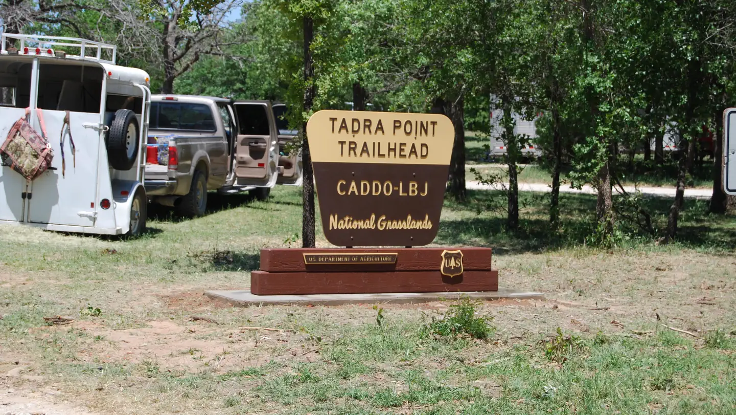
TADRA Point Trailhead has 20 parking spurs and 6 pull thoughs with numerous hitching posts available. There is water for horses and a pavilion with grill.
Sites are first-come, first-served. Recreation.gov lists this campground for paying on site, and you may be able to pay with the Scan and Pay feature of its app.
More like this: first-come in Texas
Amenities & rules
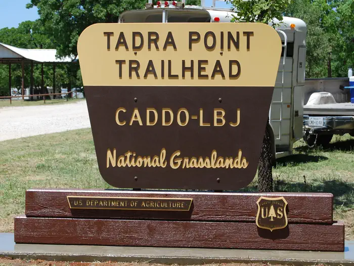
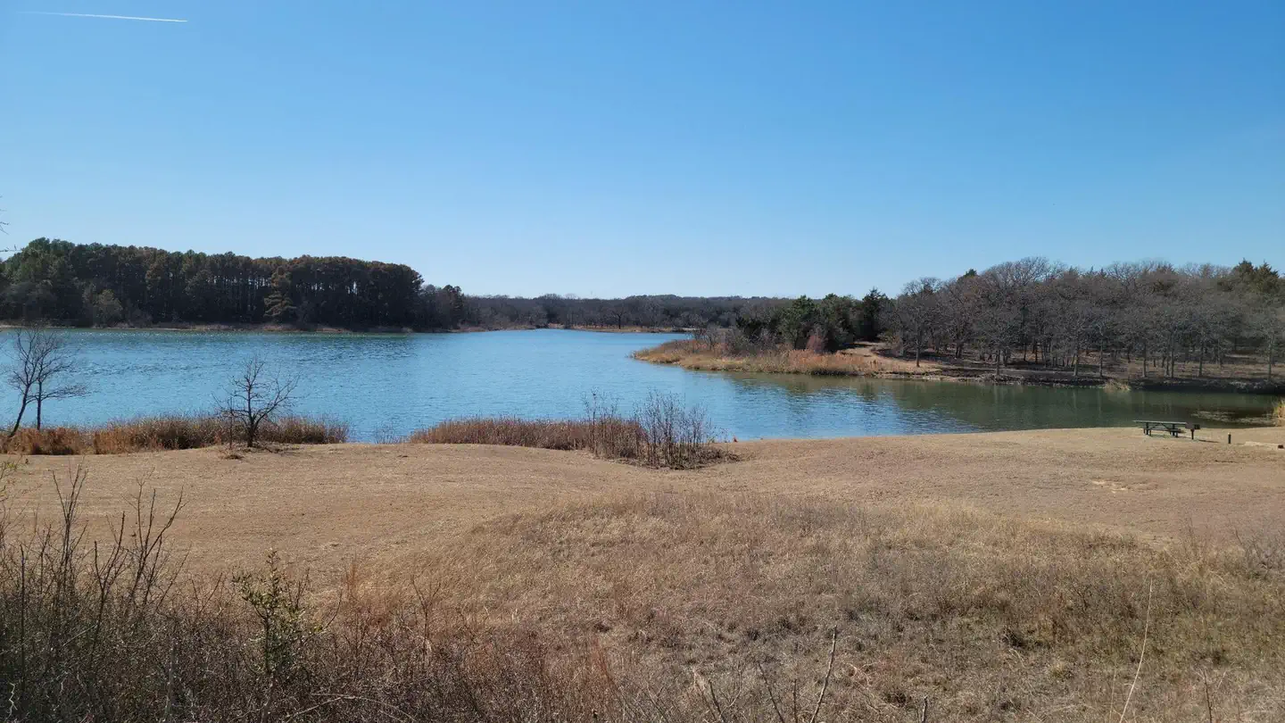
Located south of Cottonwood Lake along FS Road 900, TADRA Point Trailhead is at the confluence of the five loops that comprise the 75-mile LBJ Multi-Use Trail System. The trailhead was constructed through the volunteer efforts of local equestrian groups and is used throughout the year as headquarters for various non-commercial group events, including equestrian endurance rides.
Individual sites vary. Confirm on Recreation.gov or with the managing office.
Weather by month
Getting there
From Decatur: North on FM 730 for 10 miles, left on CR 2461 (Cottonwood Cemetery Road), at fork turn right on CR 2560 for 3 miles then left on FS 900 for 2 miles. TADRA Point Trailhead will be on the right.
| Nearest town | Decatur, Texas |
| Coordinates | 33.3715° N, 97.5866° W · Directions ↗ |
Supplies & services
| RV sales & service | Quality 1 RV ↗ | 23.3 mi |
| Dump station | Dump station ↗ | 31.1 mi |
| Outdoor gear | Bass Pro Shops ↗ | 32.6 mi |
Locations © OpenStreetMap contributors. Call ahead; hours change seasonally.
Explore
Trails nearby
- 0.1 miLbj Red Trail 1 Connector1.4 mi trail · hiking, horse, bike
- 0.2 miLbj Yellow ↗6.9 mi trail · hiking, horse, bike
- 0.2 miLbj Orange ↗25.4 mi trail · hiking, horse, bike
- 0.2 miLbj Blue3.6 mi trail · hiking, horse, bike
- 0.3 miLbj White ↗10.3 mi trail · hiking, horse, bike
- 0.7 miLbj Red Trail 3 Connector1.5 mi trail · hiking, horse, bike
Trailheads within three miles
- 0.3 miTADRA Point: (940) 627-5475 ↗National Forests and Grasslands in Texas
- 1.3 miCottonwood Lake: (940) 627-5475 ↗National Forests and Grasslands in Texas
Trail and trailhead records are the Forest Service's. Distances are straight-line to the nearer trail end. Trail conditions are not tracked here.
Other campgrounds nearby


On the National Register nearby
- Waggoner MansionBuilding · Decatur · 9.5 mi
- Wise County CourthouseBuilding · Decatur · 9.5 mi
- Texas Tourist CampBuilding · Decatur · 9.9 mi
Guidebooks for Texas
We earn a small commission if you buy through these links. It does not change what we list.
Titles come from Open Library's catalog, matched by subject heading or by title.
Reference
Questions people ask
Do I need a reservation at Tadra Point?
No. Tadra Point is first-come, first-served. Sites are taken on arrival and paid at the fee station.
Source: How first-come camping works
Is there cell service at Tadra Point?
FCC coverage maps show AT&T 5G at the campground point. Terrain changes that from one site to the next.
Source: FCC Broadband Map
What is the nearest town to Tadra Point?
Decatur, Texas. Cottonwood Lake and Little Cottonwood Lake
Source: Getting there
What if Tadra Point is full?
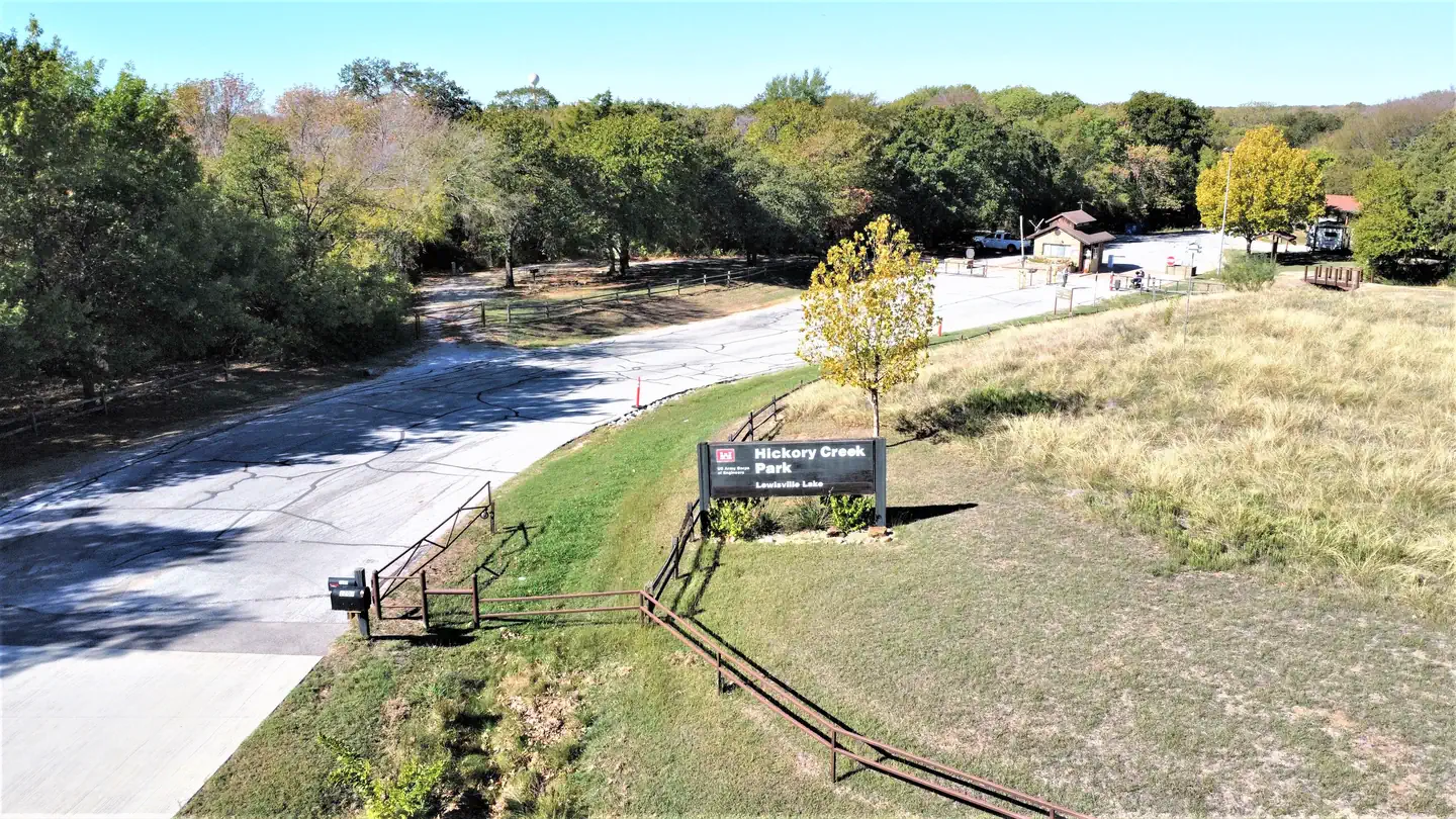
The nearest public campgrounds are Black Creek Lake (2.1 mi, first-come), Valley View Group Use (2.7 mi, first-come), and Hickory Creek (36.4 mi).
Source: Campgrounds nearby