Lower Jones Valley
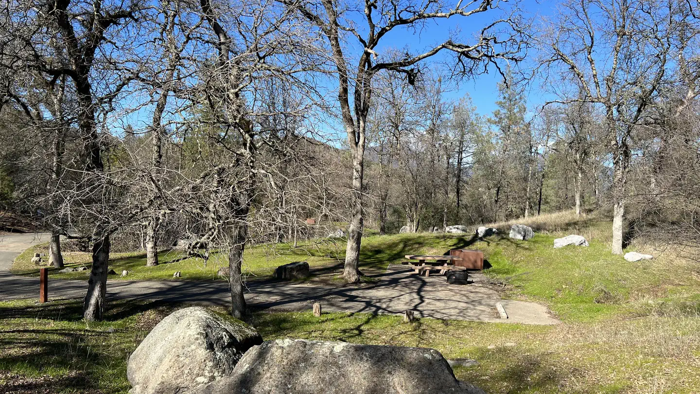
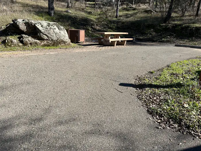
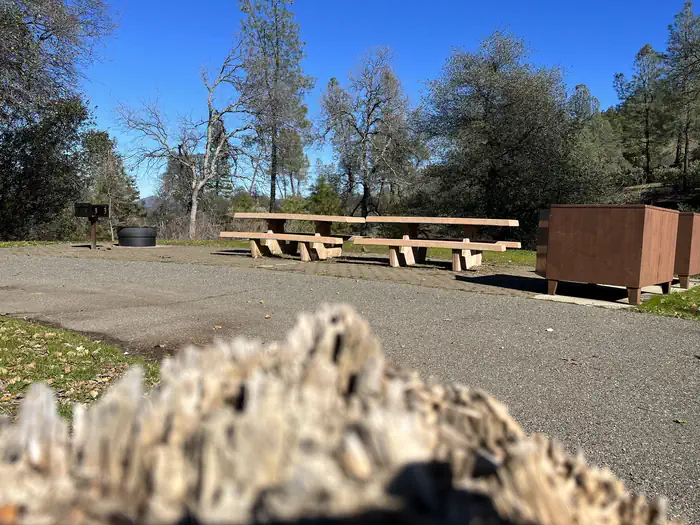
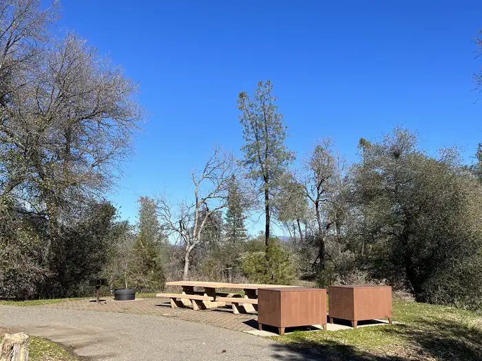
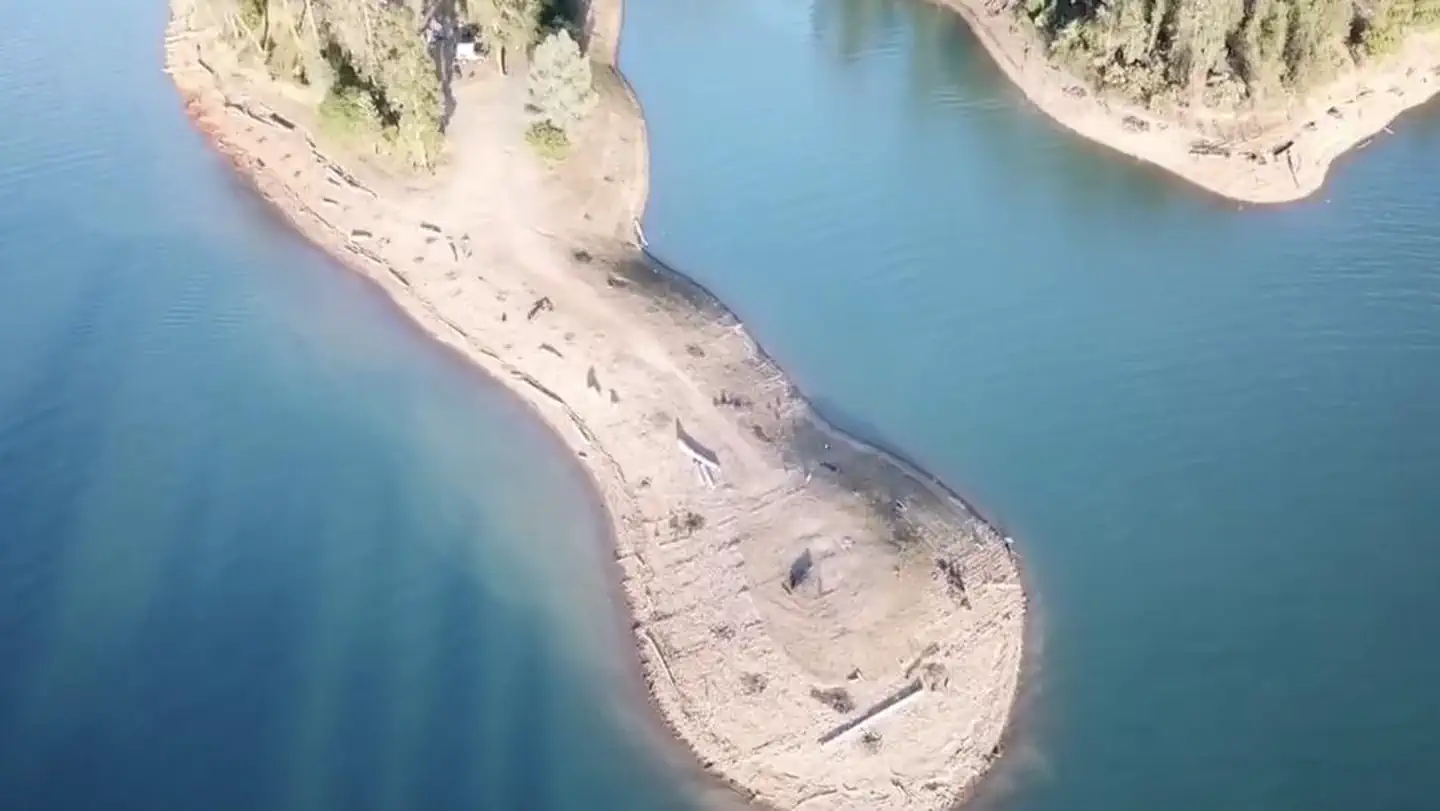
Lower Jones Valley Campground is located on the Pit River Arm of Shasta Lake, it has trash service, vault toilets and potable water. This is campground has 9 single sites and 2 double sites with an average back in around 30'. You must also occupy the area the day you pay for it, no advance payments. There is also a Iron Ranger on site that you can pay with cash or check.
Sites are first-come, first-served. Recreation.gov lists this campground for paying on site, and you may be able to pay with the Scan and Pay feature of its app.
More like this: first-come in California · pets allowed in California
Site mix
| Standard, no hookups | 9 |
| Host/management | 13 |
Amenities & rules
| Pets | Allowed |
| Fees | Scan & Pay: A convenience fee is charged for use of the Scan & Pay option |
Individual sites vary. Confirm on Recreation.gov or with the managing office.
Season & status
| Status | Open |
| Season | Open Year Round to Open Year Round |
| Forest | Shasta-Trinity National Forest |
| Fees | $28 - single site (1 vehicle and 8 people) $56 - double site ( 2 vehicles and 12 people). Additional Vehicles, if space allows, are $12 per night |
Weather by month
Getting there
Lower Jones Valley Campground is located 15 miles north of Redding from I-5. Going Northbound I-5 exit at the Oasis Road exit. Take a right at the stop sign from the ramp follow road for about 3 miles. Turn right onto Bear Mountain Rd for about 5 miles, turn left at the stop sign to stay on Bear Mtn Rd.
| Coordinates | 40.7276° N, 122.2281° W · Directions ↗ |
Charges and cancellations
Refunds for Check or Cash Purchases: Refunds for cash payments will be issued a check or cash refund. A refund will be processed within 30 days of receipt and approval. Refund requests made during or after departure can only be processed when approved by the facility management staff based upon local policy. Refunds for Naturally Occurring Events: Refunds will not be issued for naturally occurring events like rain, snow, wind, smoke, extreme temperature, low lake level, etc.
Fire nearby
- PrescribedShf Rx
14 mi from the campground
- PrescribedFive-6 Rx
37 mi from the campground
- PrescribedFive-7 Rx
38 mi from the campground
Distance is to the reported incident point, not the fire edge. Call the managing office before you drive.
Supplies & services
| RV sales & service | Cousin Gary RV Center ↗ | 8.4 mi |
| Outdoor gear | Sportsman's Warehouse ↗ | 12 mi |
| Dump station | Dump station ↗ | 19.8 mi |
Locations © OpenStreetMap contributors. Call ahead; hours change seasonally.
Explore
Video
Jones Lake BC // Camping & Fishing
Worth a stop
- 1 mi
- 1.1 miJones Valley Public Boat Ramp ↗Boat launch
- 9.6 mi
- 10.1 miDekkas Rock Day Use Area ↗Day use
Trails nearby
- 0.2 miClikapudi ↗8.5 mi trail · hiking, horse, bike
- 0.7 miClikapudi A0.3 mi trail · hiking, horse, bike
- 0.8 miClikapudi B0.1 mi trail · hiking, horse, bike
- 1.4 miClikapudi C1.2 mi trail · hiking, horse, bike
Trail and trailhead records are the Forest Service's. Distances are straight-line to the nearer trail end. Trail conditions are not tracked here.
Public land it sits in
This campground sits inside Shasta-Trinity National Forest.
- inShasta-Trinity National Forest ↗National Forest · Forest Service · 2,715,499 acres
Each unit is published as a centre point and an acreage rather than a boundary, so this section stands it in for a circle of the same area. Whether a campground is inside, and how far it is from one it is outside, are both approximate.
Other campgrounds nearby



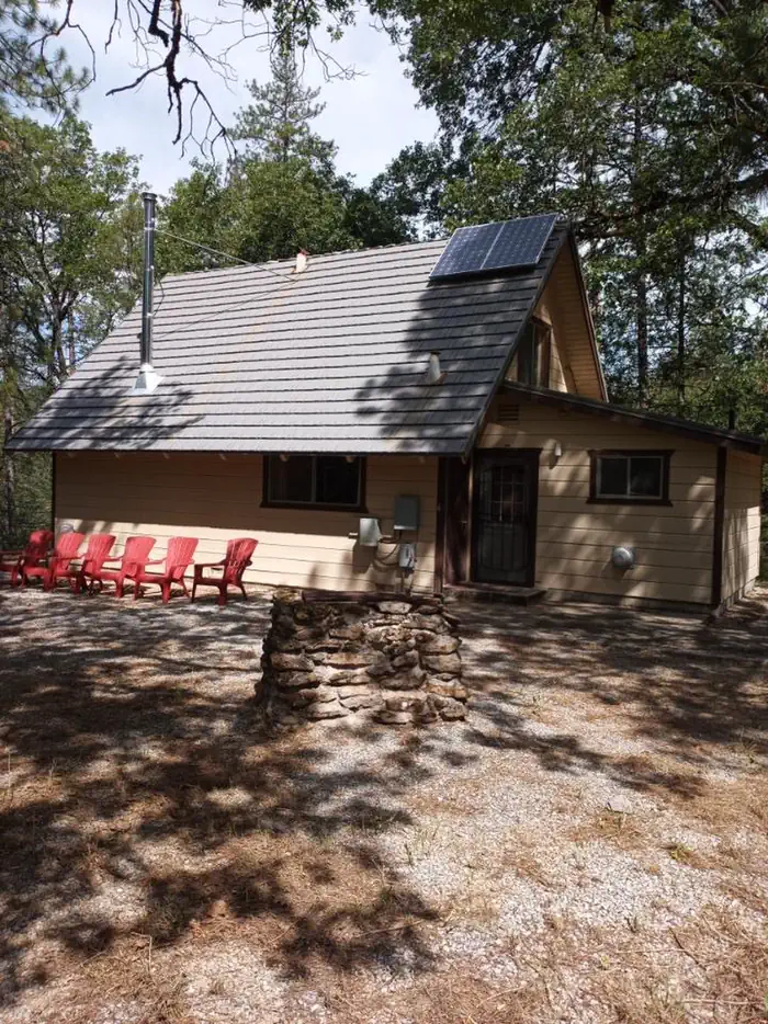
Cabin and lookout rentals nearby

On the National Register nearby
- Phillips Brothers MillHistoric district · Oak Run · 12.7 mi
- Pine Street SchoolBuilding · Redding · 12.8 mi
- Edward Frisbie HouseBuilding · Redding · 12.9 mi
Natural features
Shasta-Trinity is the largest national forest in California with a diverse landscape encompassing five wilderness areas, hundreds of mountain lakes and 6,278 miles of streams and rivers. Lake Shasta sits at an elevation of 1,067 feet, with 365 miles of shoreline punctuated by steep mountains blanketed in manzanita and evergreens. A snow-capped Mount Shasta, the second-tallest mountain in the Cascade Range, looms in the distance. Wildlife is abundant in the area.
Recreation
A public boat ramp is located approximately 1 mile away at Jones Valley (dependent on water level). This area is popular for water skiing and jet skiing. Lake Shasta offers excellent fishing for trout, catfish, Chinook salmon, crappie, bluegill, white sturgeon, brown bullhead and bass.
Guidebooks for California
We earn a small commission if you buy through these links. It does not change what we list.

Titles come from Open Library's catalog, matched by subject heading or by title.
Reference
Questions people ask
Do I need a reservation at Lower Jones Valley?
No. Lower Jones Valley is first-come, first-served. Sites are taken on arrival and paid at the fee station.
Source: Forest Service
How much does it cost to camp at Lower Jones Valley?
Scan & Pay: A convenience fee is charged for use of the Scan & Pay option
Source: Forest Service
What time is check-in at Lower Jones Valley?
Check-in 03:00 PM, checkout 02:00 PM.
Source: Forest Service
Is Lower Jones Valley open right now?
Open as of Oct 16, 2026. Season Open Year Round to Open Year Round.
Source: Forest Service status
How many sites does Lower Jones Valley have?
22 sites, including 9 standard sites without power.
Source: Forest Service
Are pets allowed at Lower Jones Valley?
Yes, pets are allowed at Lower Jones Valley. Leash rules apply.
Source: Forest Service
What is there to do at Lower Jones Valley?
A public boat ramp is located approximately 1 mile away at Jones Valley (dependent on water level). The Recreation section on this page has the rest.
Source: Recreation
What if Lower Jones Valley is full?
The nearest public campgrounds are Jones Valley Inlet Dispersed Area (0.1 mi, first-come), Jones Valley Inlet West Dispersed Area (0.1 mi, first-come), and Upper Jones Valley Campground (0.2 mi, first-come).
Source: Campgrounds nearby