Cottage Creek Campground
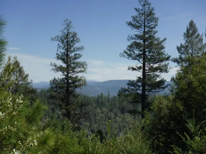
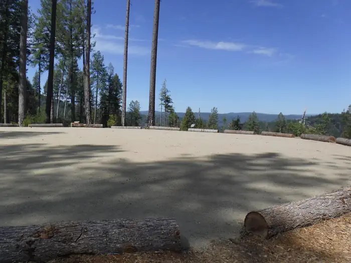
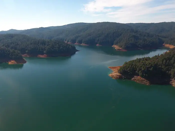
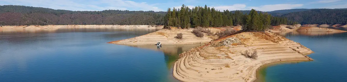
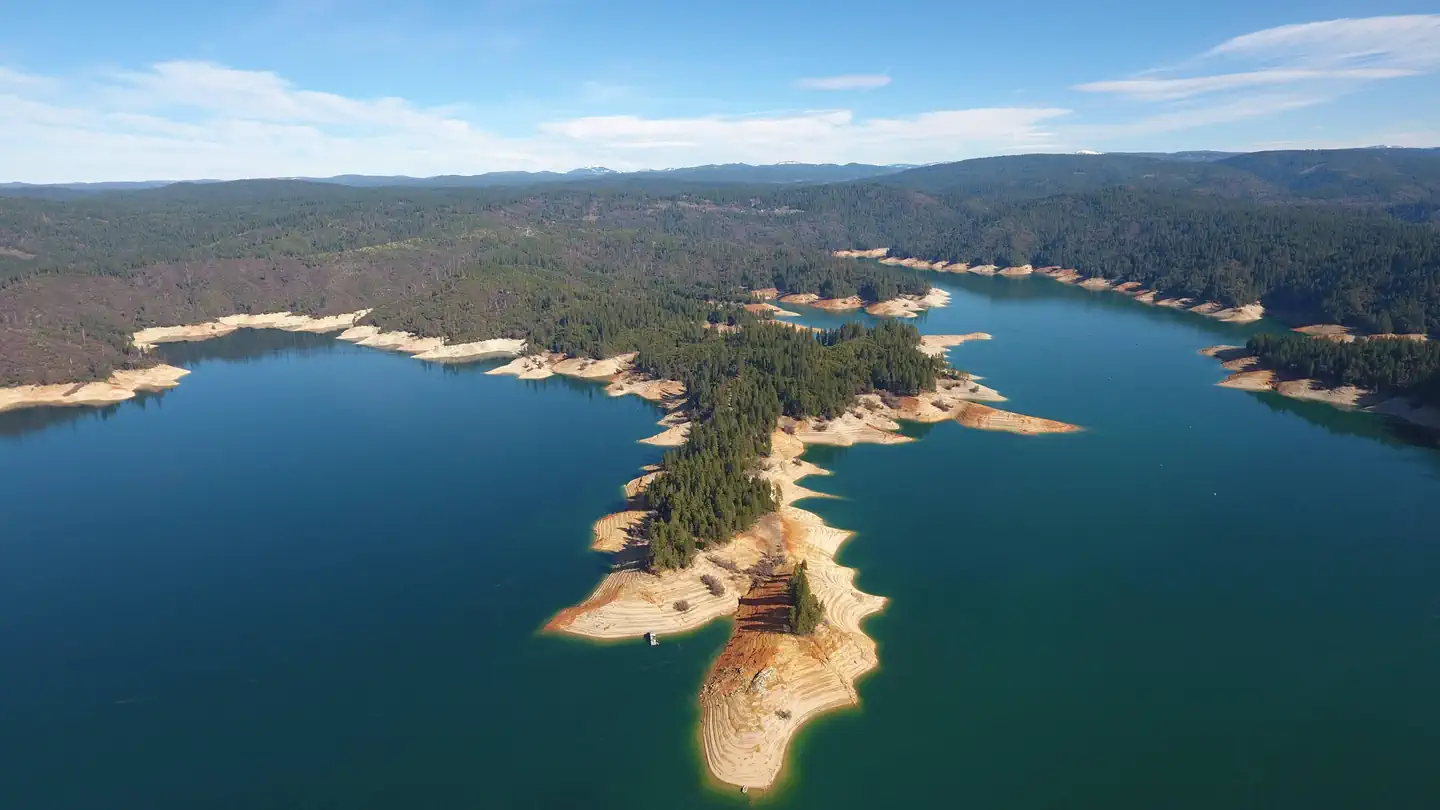
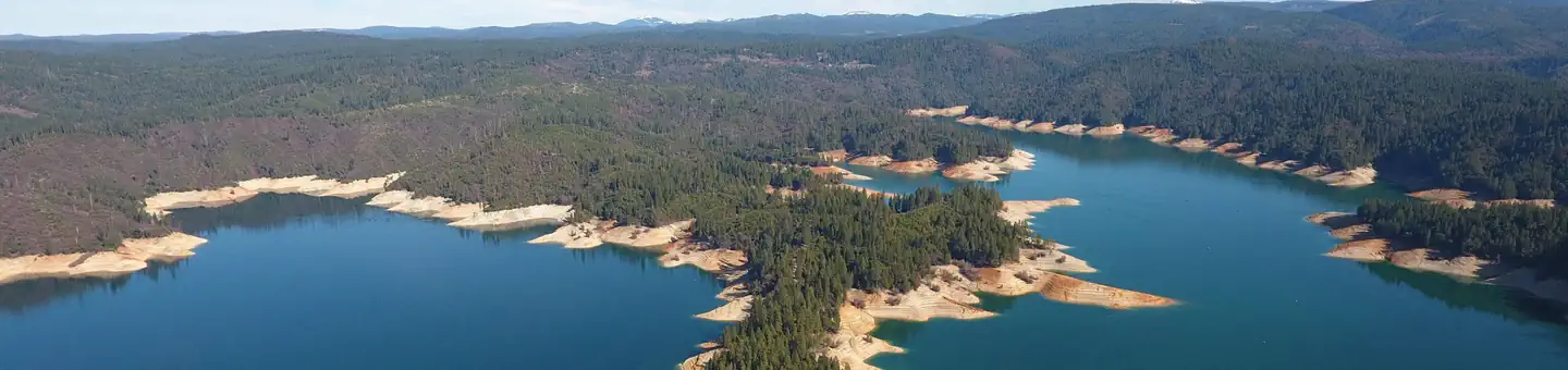
Cottage Creek is a new campground with all new amendities. It has double and triple sites. It has a beautiful view of the Bullards Bar Reservior.
More like this: reservable in California · pets allowed in California
Check availability on Recreation.gov ↗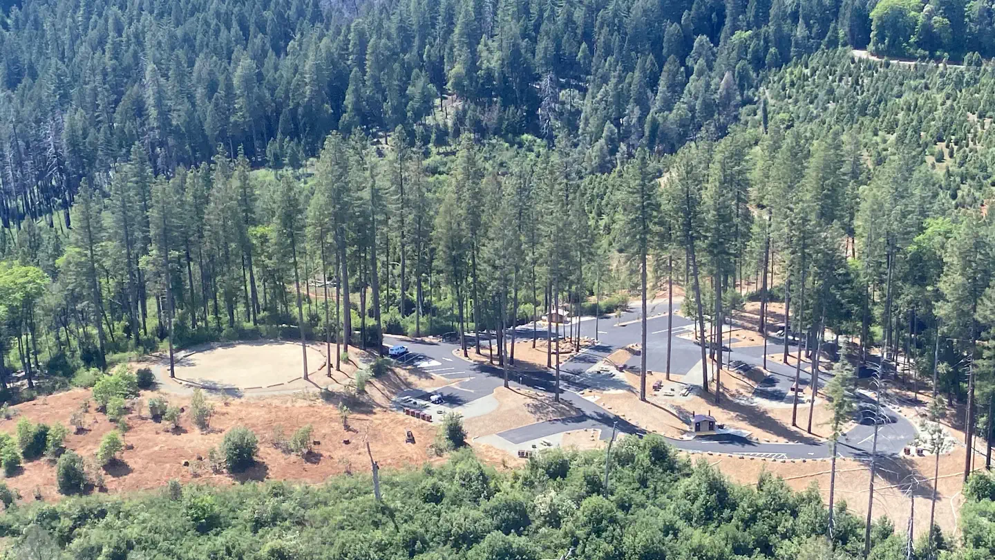
Site mix
| Standard, no hookups | 9 |
Site guide
9 sites. Tap a filter to narrow the list; the map follows.
| Site | Entry | Fits, ft | Surface | Shade | Water / sewer | People / vehicles | Fires |
|---|---|---|---|---|---|---|---|
| 1D | Pull-through | 99 | Paved | Partial | No / – | 12 / 4 | Yes |
| 2T | Back-in | 50 | Paved | Partial | No / – | 18 / 6 | Yes |
| 3D | Back-in | 50 | Paved | Partial | No / – | 12 / 4 | Yes |
| 4D | Pull-through | 67 | Paved | Partial | No / – | 12 / 4 | Yes |
| 5D | Back-in | 50 | Paved | Partial | No / – | 12 / 4 | Yes |
| 6D | Back-in | 50 | Paved | Partial | No / – | 12 / 4 | Yes |
| 7D | Back-in | 50 | Paved | Partial | No / – | 12 / 4 | Yes |
| 8T | Back-in | 60 | Paved | Partial | No / – | 18 / 6 | Yes |
| 9D | Back-in | 60 | Paved | Partial | No / – | 12 / 4 | Yes |
Per-site records as published by the managing agency on Recreation.gov. Blank cells mean the agency listed nothing for that site. Check-in 02:00 PM, checkout 10:00 AM.
Amenities & rules
| Hookups | None |
| Equipment | RVs & trailers, Tents |
| Pets | Allowed |
| Campfires | Allowed, subject to restrictions |
Public access for boating and recreation is limited to 2 developed and 1 undeveloped boat launches: the Cottage Creek Boat Launch ramp at Emerald Cove Marina, the Dark Day Boat Launch ramp, and the undeveloped site at the end of Moran Road. The area includes 6 campgrounds, 2 picnic areas, 2 boat launch ramps, 1 marina, 1 overlook, 1 day use area and several developed hiking trails.
Individual sites vary. Confirm on Recreation.gov or with the managing office.
Weather by month
Getting there
From Nevada City, travel north on Higway 49 from approximately 20 miles to Maryville Road, turn left onto Maryville Road and travel west approximatley 6 miles. You will cross over the dam and take a right at the Cottage Creek/Emerald Cove Marina parking area. Drive through the main parking lot and stay to the left and the stop sign.
| Coordinates | 39.3978° N, 121.1483° W · Directions ↗ |
Charges and cancellations
No Show Policy A no-show customer is one who does not arrive at a campground and does not cancel the reservation by check-out time on the day after the scheduled arrival date (or for day-use facilities, by check-in time the day of arrival). No-show customers are only recorded at staffed facilities. At most remote facilities, all customers are noted as automatically checked-in on the date of arrival. It is recommended that staffed facilities hold a campsite until check-out time on the day following the arrival date. It is recommended that staffed facilities hold group day-use facilities until check-in time on the arrival date. There is no change fee if a customer extends or shortens a reservation if the change includes dates from the original reservation. If they choose to depart early, they may forfeit some or all of the recreation fees. There is no change fee if the customer changes campsites that are the same price and on the same reservation dates in the same campground. If the campsite the customer is changing to has a price difference, the customer will be responsible for any additional fees or be provided with a refund, based on the price difference.
Supplies & services
| RV sales & service | DeMartini RV Sales ↗ | 13.3 mi |
| Dump station | Dump station ↗ | 18.2 mi |
| Outdoor gear | Turner's Outdoorsman ↗ | 31.3 mi |
Locations © OpenStreetMap contributors. Call ahead; hours change seasonally.
Explore
Worth a stop
There is a beautiful non- motorized trail system in the area, with 5 different trails to choose from. Bullards Bar Trailhead is 14 miles, 7 Ball Trial is 1 mile, 8 Ball Trail is 3.8 miles, Rebel Ridge Trail is 1.6 miles and Schoolhouse Trail is 0.7 miles. Maps are available at the North Yuba Ranger Station just a couple miles east of the reservoir on Marysville Road.
- 3.2 miDark Day Picnic Site ↗Day use
- 3.5 miOregon Creek Day Use Area ↗Day use
Trails nearby
- 0.1 miCottage Creek2.7 mi trail
- 0.9 miBullards ↗14.9 mi trail · hiking, horse, bike
- 1.4 miEight Ball3.8 mi trail · hiking, horse, bike
- 1.7 miSchoolhouse0.7 mi trail · hiking, horse, bike
- 3.2 miSeven Ball1 mi trail · hiking, horse, bike
- 4.2 miRebel Ridge1.6 mi trail · hiking, horse, bike
Trail and trailhead records are the Forest Service's. Distances are straight-line to the nearer trail end. Trail conditions are not tracked here.
Public land it sits in
Tahoe National Forest begins about 8.3 miles away, and it is the closest of these.
- 8.3 miTahoe National Forest ↗National Forest · Forest Service · 1,181,139 acres
- 13.5 miPlumas National Forest ↗National Forest · Forest Service · 1,431,953 acres
Each unit is published as a centre point and an acreage rather than a boundary, so this section stands it in for a circle of the same area. Whether a campground is inside, and how far it is from one it is outside, are both approximate.
Other campgrounds nearby
On the National Register nearby
- Oregon Creek Covered BridgeStructure · North San Juan · 3.5 mi
- Woodleaf HotelBuilding · Woodleaf · 8.6 mi
- Davis MillBuilding · Nevada City · 11.3 mi
Natural features
The sides of the reservoir are generally steep and public access for boating and recreation is limited. The reservoir is surrounded by both conifer and hardwood forests with numerous brush spieces. There is plenty of shade at the campsites
Recreation
Activities include wildlife viewing, hiking, mountain biking, horseback riding, camping, fishing, boating, water skiing, and other water sports. Swimming opportunities are limited because of the steep slopes; however boaters will find numerous opportunities for swimming in various locations around the reservoir. The reservoir provides yearlong fishing opportunities for both warm and cold water fish species. Supplies are available at the marina as well as the nearby communities of Camptonville, North San Juan, and Dobbins.
Guidebooks for California
We earn a small commission if you buy through these links. It does not change what we list.

Titles come from Open Library's catalog, matched by subject heading or by title.
Reference
Questions people ask
Do I need a reservation at Cottage Creek Campground?
Sites at Cottage Creek Campground are reservable on Recreation.gov. Any walk-up sites are listed on the booking page.
Source: Recreation.gov
What time is check-in at Cottage Creek Campground?
Check-in 02:00 PM, checkout 10:00 AM.
Source: Recreation.gov
How many sites does Cottage Creek Campground have?
9 sites, including 9 standard sites without power.
Source: Recreation.gov
Can I bring an RV to Cottage Creek Campground?
Cottage Creek Campground is listed for tents only.
Source: Recreation.gov
Are pets allowed at Cottage Creek Campground?
Yes, pets are allowed at Cottage Creek Campground. Leash rules apply.
Source: Recreation.gov
Can I have a campfire at Cottage Creek Campground?
Fires are allowed in the provided rings under normal conditions.
Source: Recreation.gov
Is there cell service at Cottage Creek Campground?
FCC coverage maps show Verizon 5G, AT&T 5G, and T-Mobile 5G at the campground point. Terrain changes that from one site to the next.
Source: FCC Broadband Map
What is there to do at Cottage Creek Campground?
Activities include wildlife viewing, hiking, mountain biking, horseback riding, camping, fishing, boating, water skiing, and other water sports. The Recreation section on this page has the rest.
Source: Recreation
What if Cottage Creek Campground is full?
The nearest public campgrounds are Hornswoggle Group Campground (1.9 mi), Schoolhouse Campground (2 mi), and Garden Point Boat-In Campground (2.8 mi).
Source: Campgrounds nearby