Namekagon District
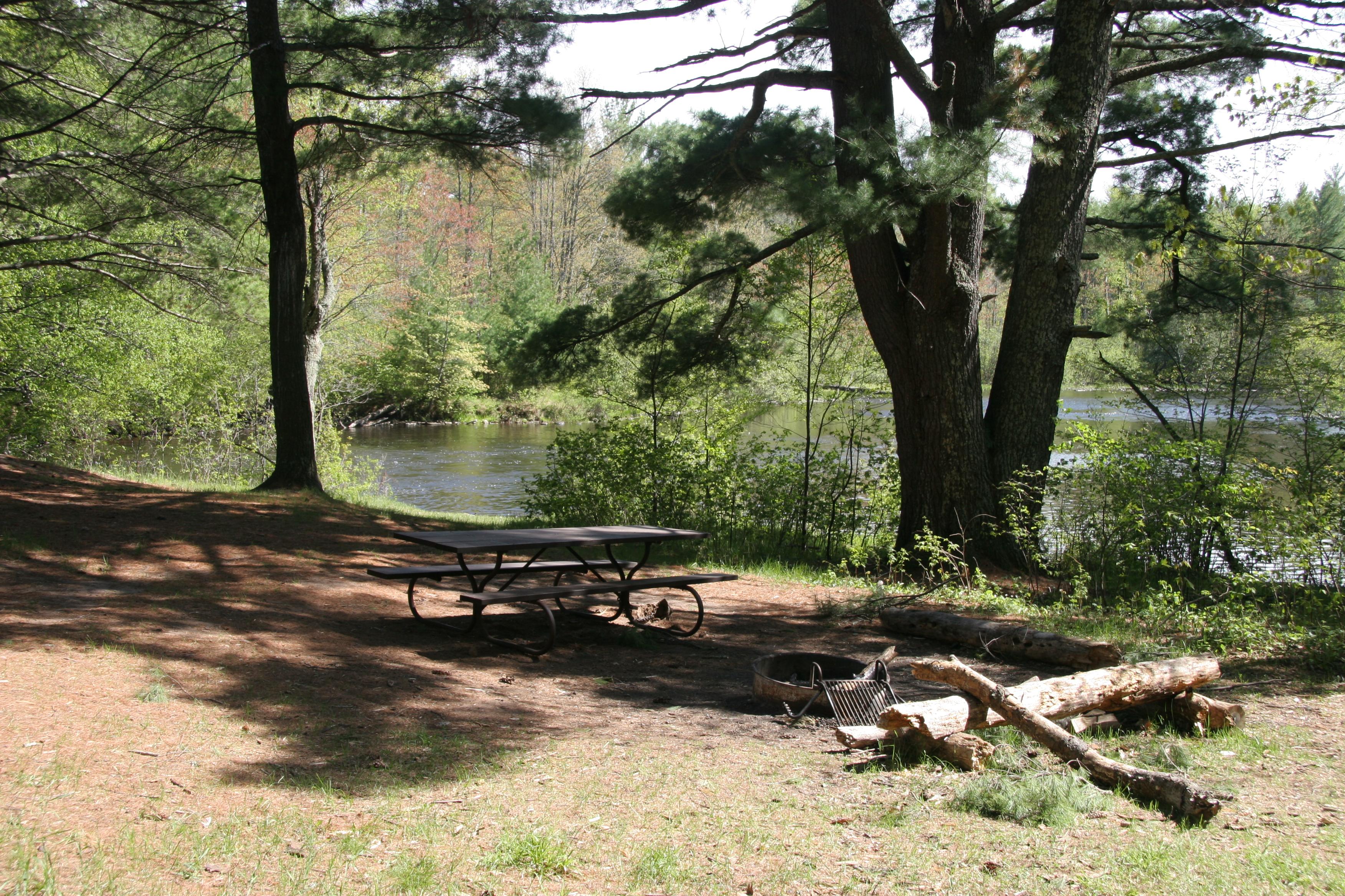
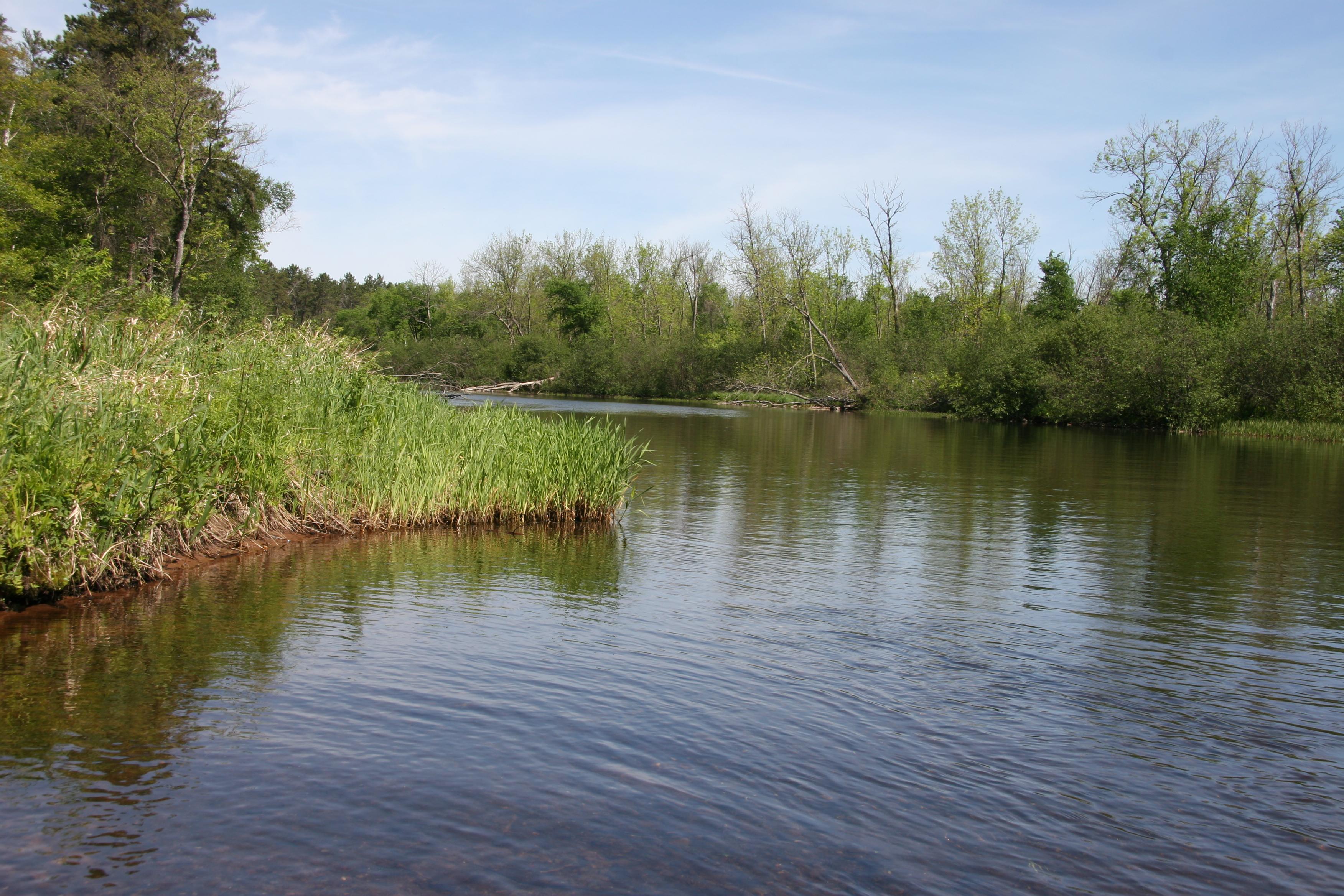
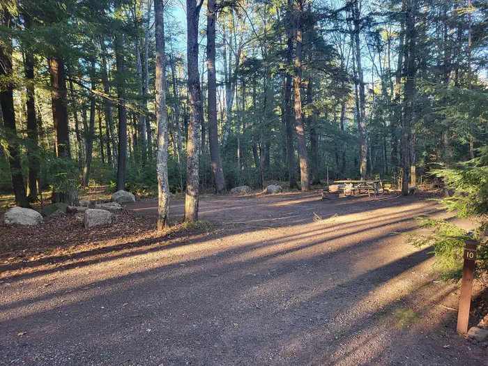
67, primitive, Leave No Trace camp sites are located on the Namekagon River from Namekagon Dam to the confluence of the St Croix River and on the St. Croix River from Gordon Dam to Riverside Landing. All sites are free. No permit required. Camp only in designated sites marked with brown camping sign and metal fire ring.
More like this: first-come in Wisconsin
Weather by month
Getting there
Campsite locations are along the 100-mile reach of the riverway from Namekagon Dam to the confluence. Each campsite is identified by a square brown sign with a tent symbol at the river's edge and located near the take-out or beach area of that site.
| Coordinates | 45.9053° N, 91.8160° W · Directions ↗ |
Fire nearby
- WildfireRutabaga 2.0
42 mi from the campground · 103 acres
Distance is to the reported incident point, not the fire edge. Call the managing office before you drive.
Supplies & services
| Outdoor gear | Sportsmen's Headquaters ↗ | 13.6 mi |
| RV sales & service | Wisco RV & Marine ↗ | 28.2 mi |
Locations © OpenStreetMap contributors. Call ahead; hours change seasonally.
Explore
Public land it sits in
Chequamegon-Nicolet National Forest begins about 13.1 miles away, and it is the closest of these.
- 13.1 miChequamegon-Nicolet National Forest ↗National Forest · Forest Service · 2,005,629 acres
Each unit is published as a centre point and an acreage rather than a boundary, so this section stands it in for a circle of the same area. Whether a campground is inside, and how far it is from one it is outside, are both approximate.
Other campgrounds nearby

On the National Register nearby
- Mrs. Richard Polson HouseBuilding · Spooner · 5.4 mi
- George V. Siegner HouseBuilding · Spooner · 6.5 mi
Guidebooks for Wisconsin
We earn a small commission if you buy through these links. It does not change what we list.
Titles come from Open Library's catalog, matched by subject heading or by title.
Reference
Questions people ask
Do I need a reservation at Namekagon District?
No. Namekagon District is first-come, first-served. Sites are taken on arrival and paid at the fee station.
What if Namekagon District is full?
The nearest public campgrounds are Moose Lake (39 mi, partly first-come), Two Lakes (40.1 mi, partly first-come), and Black Lake (42.7 mi, partly first-come).
Source: Campgrounds nearby
Which national park is Namekagon District in?
Namekagon District is a Saint Croix National Scenic Riverway campground. Entrance fees, alerts, and hours are on Park Atlas.