Lake Ottawa Campground
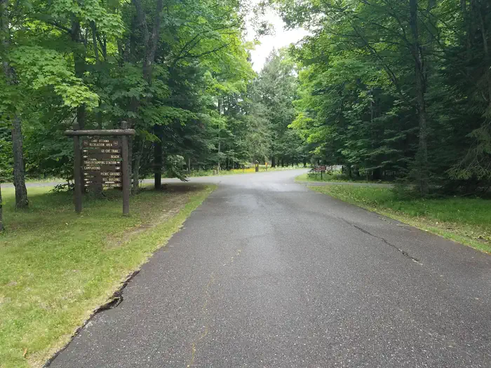
Planning a trip to the Lake Ottawa Campground? Watch for Alerts at the top of the page for any Alerts regarding this facility. Lake Ottawa Campground is in a beautiful forested northwoods setting located 5 miles southwest of Iron River, MI, on the Iron River Ranger District.
Some sites take reservations on Recreation.gov. Others are first-come, first-served.
More like this: first-come in Michigan · reservable in Michigan · pets allowed in Michigan
Check availability on Recreation.gov ↗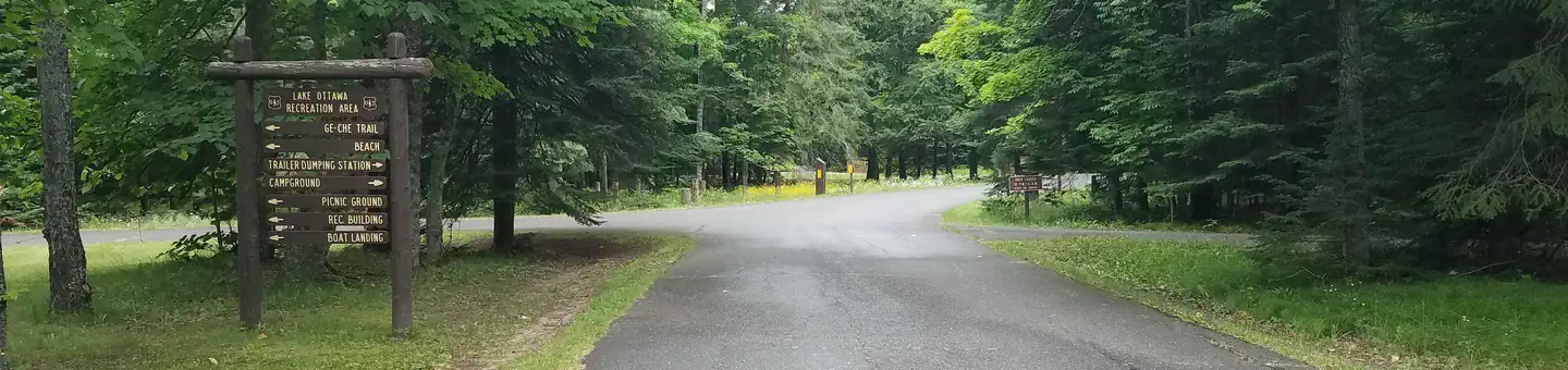
Site mix
| Standard, no hookups | 31 |
| Host/management | 1 |
Site guide
31 sites in 2 loops. Tap a filter to narrow the list; the map follows.
| Site | Loop | Entry | Fits, ft | Surface | Shade | People / vehicles | Fires |
|---|---|---|---|---|---|---|---|
| 01 | Loop 1 | Back-in | 48 | Paved | Partial | 8 / 2 | Yes |
| 02 | Loop 1 | Back-in | 48 | Paved | Partial | 8 / 2 | Yes |
| 03 | Loop 1 | Back-in | 43 | Paved | Partial | 8 / 2 | Yes |
| 04 | Loop 1 | Back-in | 45 | Paved | Partial | 8 / 2 | Yes |
| 05 | Loop 1 | Back-in | 90 | Paved | Partial | 8 / 2 | Yes |
| 06 | Loop 1 | Back-in | 90 | Paved | Partial | 8 / 2 | Yes |
| 07 | Loop 1 | Back-in | 90 | Paved | Partial | 8 / 2 | Yes |
| 08 | Loop 1 | Back-in | 38 | Paved | Partial | 8 / 2 | Yes |
| 09 | Loop 1 | Back-in | 46 | Paved | Partial | 8 / 2 | Yes |
| 10 | Loop 1 | Back-in | 70 | Paved | Partial | 8 / 2 | Yes |
Per-site records as published by the managing agency on Recreation.gov. Blank cells mean the agency listed nothing for that site. Check-in 1:00 PM, checkout 11:00 AM.
Amenities & rules
| Hookups | None |
| Equipment | RVs & trailers, Tents |
| Pets | Allowed |
| Campfires | Allowed, subject to restrictions |
| Fees | There is a day use fee associated with day use area and boat landing from May 15 – October 15, of $5 per day per vehicle, or an annual pass for $30 per vehicle. |
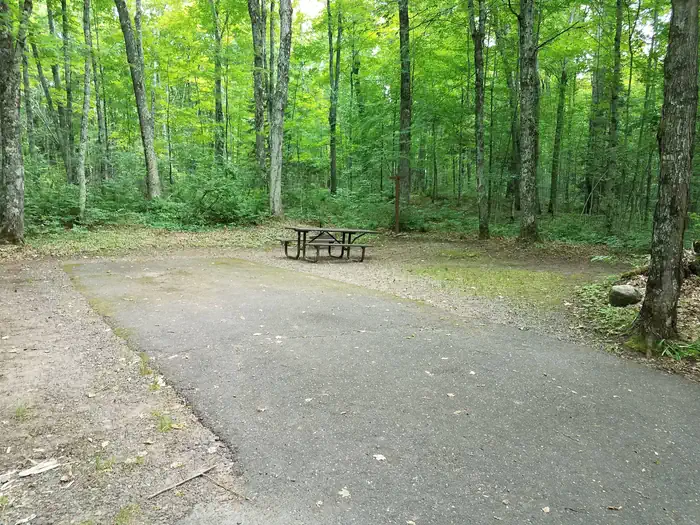
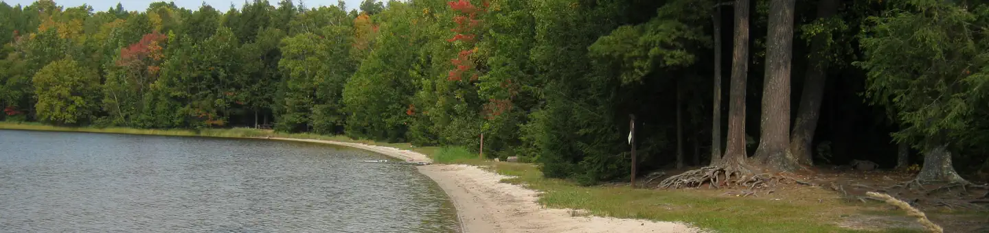
Lake Ottawa Campground is 95% surrounded by National Forest System Land and offers 32 campsites, a picnic shelter with two stone fireplaces and original log picnic tables, and two log toilet buildings with flush toilets. A pressurized water system and RV dump station are located in the campground. Adjacent to the campground, in the day use area, is a CCC era recreation building, with flush toilets, swimming beach, playing field, picnic areas and boat launch.
Individual sites vary. Confirm on Recreation.gov or with the managing office.
Season & status
| Status | Open |
| Season | May 16 to October 9 |
| Forest | Ottawa National Forest |
| Booking | Reservations are accepted for 16 sites. Fifteen (15) first-come, first-served sites are also available. Reservations can be made up to 6 months in advance of visit. |
| Fees | Camping is $22/night. Use of the day use area or boat landing is $5/day or $30 annual pass. To purchase an annual pass, call 906-932-1330. |
| Rules | Camping in a developed recreation site is allowed for a period not longer than 14 days, except as otherwise posted. After this time, you must move to another campground or dispersed site for at least 24 hours. Campers must occupy the site the first night. |
Weather by month
Getting there
From Iron River, Mi. travel west on US 2, turn south on M 73, travel approximately 3/4 mile, turn west on Lake Ottawa Road and travel approximately 4 miles to the campground. From Watersmeet, Mi. travel 28 miles east on US 2, turn south on M 73, travel approximately 3/4 mile, turn west on Lake Ottawa Road and travel approximately 4 miles to the…
| Nearest town | Iron River, Michigan |
| Coordinates | 46.0750° N, 88.7659° W · Directions ↗ |
Good to know
- The trail is not a loop, it is a relatively flat dirt trail.
Fire nearby
- PrescribedPinto Rx
43 mi from the campground · 27 acres
- WildfireCraig Lake 1
48 mi from the campground · 606 acres · 57% contained
Distance is to the reported incident point, not the fire edge. Call the managing office before you drive.
Supplies & services
| Dump station | Dump station ↗ | 0.3 mi |
| Outdoor gear | Eagle Sports ↗ | 25.4 mi |
Locations © OpenStreetMap contributors. Call ahead; hours change seasonally.
Explore
Video
Ottawa Lake Campsite 381 Tour | Would You Camp Here?
Trails nearby
- under 0.1 miOrvilles Bench0.5 mi trail · hiking, horse, bike, snowmobile and 3 more
- 0.3 miOrville Lind Scenic Overlook0.1 mi trail · hiking, horse, bike, snowmobile and 3 more
- 0.4 miNfst-T3110-W10.3 mi trail · hiking, horse, bike, motorcycle and 2 more
- 0.4 miNfst-3110-W1 mi trail · hiking, horse, bike, motorcycle and 2 more
- 0.6 miGe-Chee Ski Trail ↗9.7 mi trail · horse, bike, snowshoe, ski
- 1 miNfst-3117-J0.2 mi trail · hiking, horse, bike, motorcycle and 2 more
Trail and trailhead records are the Forest Service's. Distances are straight-line to the nearer trail end. Trail conditions are not tracked here.
Public land it sits in
Ottawa National Forest begins about 6.8 miles away, and it is the closest of these.
- 6.8 miOttawa National Forest ↗National Forest · Forest Service · 1,562,423 acres
Each unit is published as a centre point and an acreage rather than a boundary, so this section stands it in for a circle of the same area. Whether a campground is inside, and how far it is from one it is outside, are both approximate.
Other campgrounds nearby


Cabin and lookout rentals nearby
On the National Register nearby
- Nelson E. Fisher House-High BanksBuilding · Iron River · 4.6 mi
- Isaac W. Byers HouseBuilding · Iron River · 5.7 mi
- Donald C. MacKinnon HouseBuilding · Iron River · 5.7 mi
Recreation
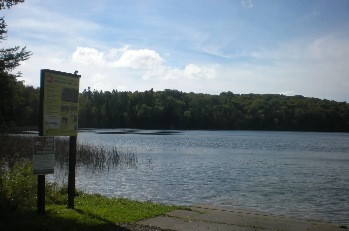
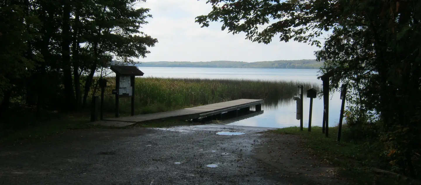
- Located adjacent to the Campground is Lake Ottawa, a deep cold water lake that provides fishermen with a good variety of game fish. There is a boat ramp with ample parking for trailers.
- Ge-Che Trail - Length is approximately 9 miles on a dirt trail. This trail provides scenery of primarily hardwood forest. The trail can be accessed from Lake Ottawa boat landing, and from within the campground.
- Lake Ottawa Recreation Area day use area provides indoor facilities for a group picnic, and a large outdoor picnic area complete with picnic tables and grills. The area is large enough to provide plenty of space for all. Also located in the same area is an athletic field. The day use building provides indoor seating for eating or parties. The building has a fireplace, electricity, and flush toilet
Nearby
- Stateline-Mile Post Zero Trail - Scenery is hardwood, forested with two destination points on the Brule River. The trail is not a loop, it is a relatively flat dirt trail. The length of the trial is approximately 4/10 of a mile and takes you to the historic Stateline Mile Post Zero location indicating the border between Michgian and Wisconsin.
- The combination of topography and thousands of miles of rivers and streams have created hundreds of waterfalls throughout the Upper Peninsula, with several of the waterfalls located on the Ottawa. The Ottawa National Forest has 18 named waterfalls, 53,637 acres of lakes, 2,366 miles of perennial streams, 2,890 miles of intermittent (occasional) streams, and 210,761 acres of wetlands. The falls var
Guidebooks for Michigan
We earn a small commission if you buy through these links. It does not change what we list.
Titles come from Open Library's catalog, matched by subject heading or by title.
Reference
Questions people ask
Do I need a reservation at Lake Ottawa Campground?
For some sites. Some sites take reservations on Recreation.gov. Others are first-come, first-served.
Source: Recreation.gov
How much does it cost to camp at Lake Ottawa Campground?
There is a day use fee associated with day use area and boat landing from May 15 – October 15, of $5 per day per vehicle, or an annual pass for $30 per vehicle.
Source: Recreation.gov
What time is check-in at Lake Ottawa Campground?
Check-in 1:00 PM, checkout 11:00 AM.
Source: Recreation.gov
Is Lake Ottawa Campground open right now?
Open as of Oct 16, 2026. Season May 16 to October 9.
Source: Forest Service status
How many sites does Lake Ottawa Campground have?
32 sites, including 31 standard sites without power.
Source: Recreation.gov
Can I bring an RV to Lake Ottawa Campground?
Lake Ottawa Campground is listed for tents only.
Source: Recreation.gov
Are there showers or a dump station at Lake Ottawa Campground?
Lake Ottawa Campground is 95% surrounded by National Forest System Land and offers 32 campsites, a picnic shelter with two stone fireplaces and original log picnic tables, and two log toilet buildings with flush toilets.
Source: Recreation.gov
Are pets allowed at Lake Ottawa Campground?
Yes, pets are allowed at Lake Ottawa Campground. Leash rules apply.
Source: Recreation.gov
Can I have a campfire at Lake Ottawa Campground?
Fires are allowed in the provided rings under normal conditions. As of 2026-10-16, there are 2 active fires within 50 miles, so check current restrictions before you light one. Camping in a developed recreation site is allowed for a period not longer than 14 days, except as otherwise posted.
Source: Fire nearby
What is there to do at Lake Ottawa Campground?
Located adjacent to the Campground is Lake Ottawa, a deep cold water lake that provides fishermen with a good variety of game fish. There is a boat ramp with ample parking for trailers. The Recreation section on this page has the rest.
Source: Recreation
What is the nearest town to Lake Ottawa Campground?
Iron River, Michigan. Stateline-Mile Post Zero Trail - Scenery is hardwood, forested with two destination points on the Brule River. The trail is not a loop, it is a relatively flat dirt trail. The length of the trial is approximately 4/10 of a mile and takes you to the historic Stateline Mile Post
Source: Getting there
What if Lake Ottawa Campground is full?
The nearest public campgrounds are Golden Lake Campground (8.7 mi, first-come), Stevens Lake Campground (10.7 mi), and Kentuck Lake Campground (11.6 mi, partly first-come).
Source: Campgrounds nearby