Mecca Flat Campground
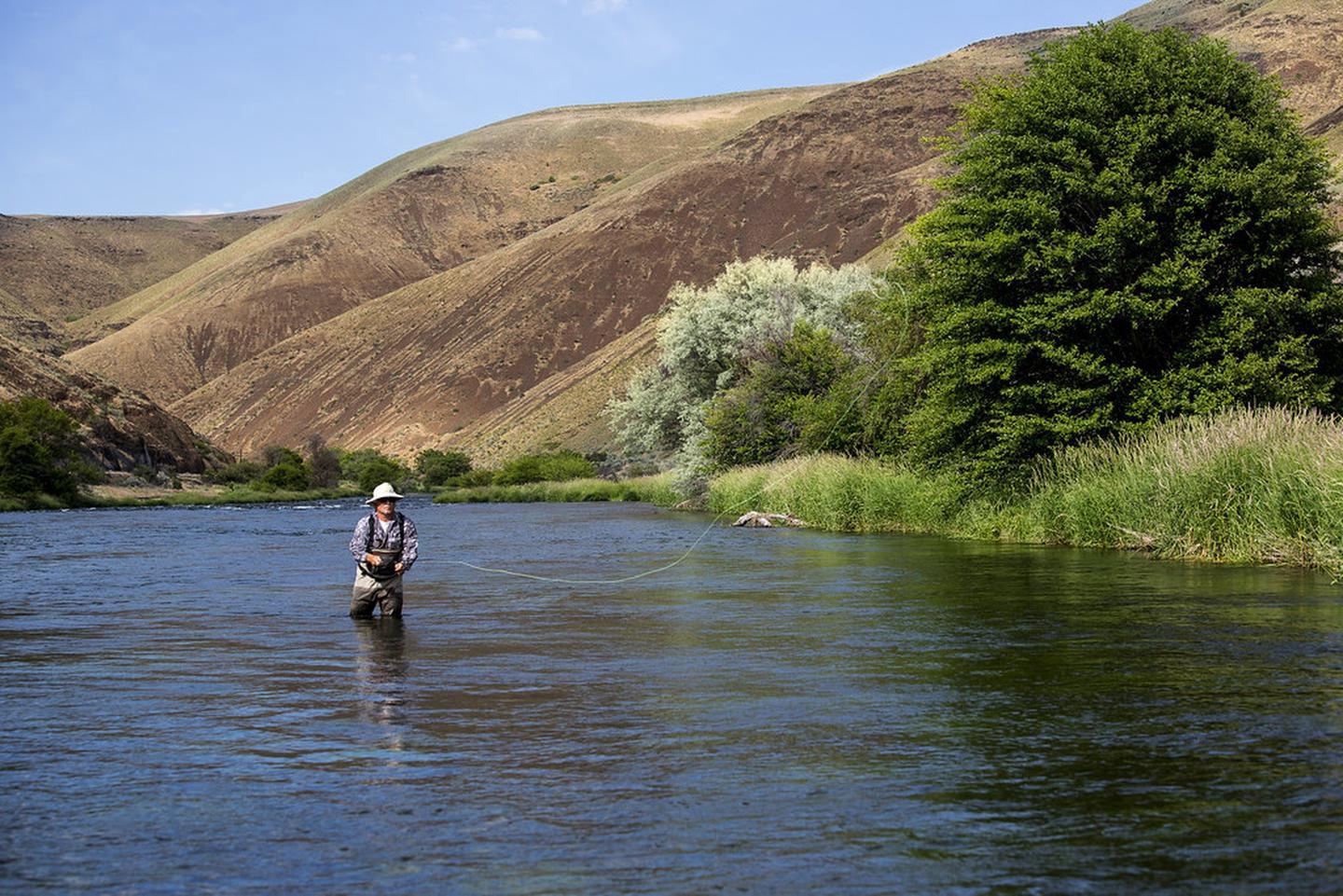
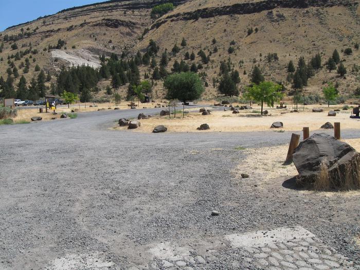
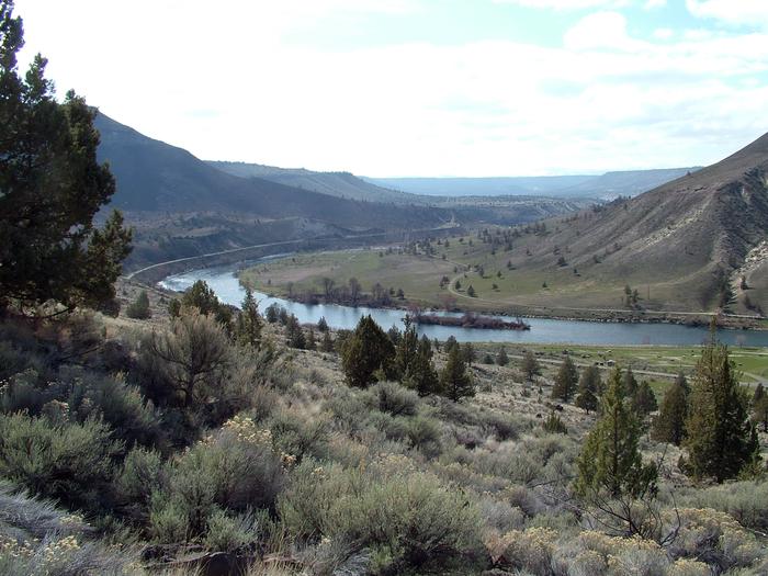
Situated on the banks of the Deschutes Wild and Scenic River, Mecca Flat Campground is located just a mile and a half from Oregon State Highway 26 near Warm Springs. The site features 13 individual campsites and one group use area. The southern terminus of the 7-mile long Trout Creek Trail can be accessed directly from the campground. All campsites, including the group use area are open year-round on a first-come, first-served basis; no potable water is available. The 1.6 mile Mecca Flat Road is narrow with few pullouts; use caution particularly when pulling a trailer.
More like this: first-come in Oregon · free in Oregon · accessible sites in Oregon
Site map
14 campsite locations mapped by OpenStreetMap contributors. The site numbers are theirs and may not match the posts at the campground. Map data © OpenStreetMap contributors, ODbL.
Amenities & rules
| Fees | Day-Use/Trailhead: No Fee Camping: $8.00/night fee applies Sunday through Thursday nights, Friday and Saturday night fee is $12.00/night, Group Sites are $25.00/night Sunday through Thursday nights, Friday and Saturday night fee is $35.00/night. May 15th September 15th. |
| Stay limit | 14 days. |
| Accessibility | Vault toilet is accessible |
Individual sites vary. Confirm on Recreation.gov or with the managing office.
Weather by month
Getting there
From Madras, Oregon: Drive 12.4 miles north on State Highway 26. Immediately before the Deschutes River crossing, turn right and look for the brown Mecca Flat Road sign. Turn left on this road and drive another 1.6 miles to the site along the narrow single-lane road.
| Nearest town | Prineville, Oregon |
| Coordinates | 44.7704° N, 121.2076° W · Directions ↗ |
Good to know
- Cell phone service is not available in the campground.
Fire nearby
- WildfireBench
12 mi from the campground · 67,071 acres · 90% contained
- PrescribedSlow Dxp/Lemiti Rx - West
29 mi from the campground
- PrescribedSisi Lookout Admin Piles Rx - West
32 mi from the campground
- PrescribedSpike Timber Sale Rx - West
33 mi from the campground
Distance is to the reported incident point, not the fire edge. Call the managing office before you drive.
Supplies & services
| Dump station | Dump station ↗ | 15.9 mi |
| Outdoor gear | Sage Canyon River Co ↗ | 28.6 mi |
| RV sales & service | Big Country RV ↗ | 35.4 mi |
Locations © OpenStreetMap contributors. Call ahead; hours change seasonally.
Explore
Other campgrounds nearby
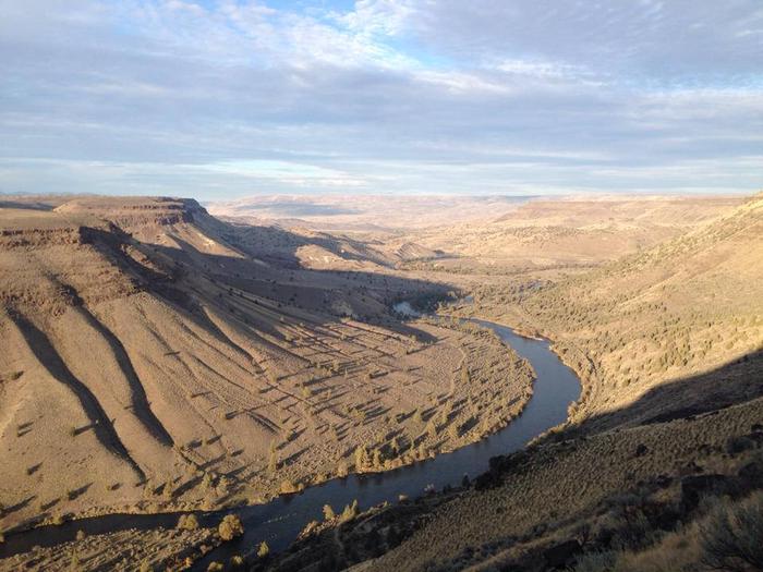
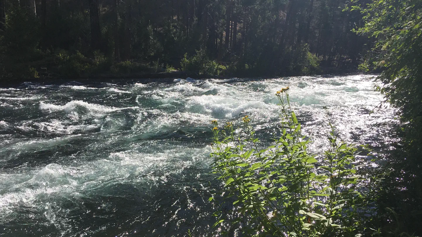
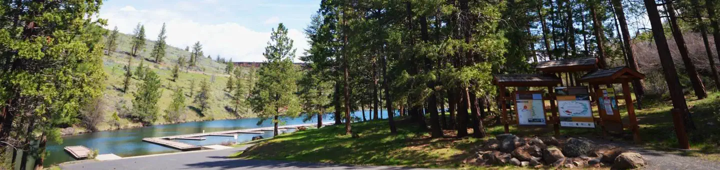
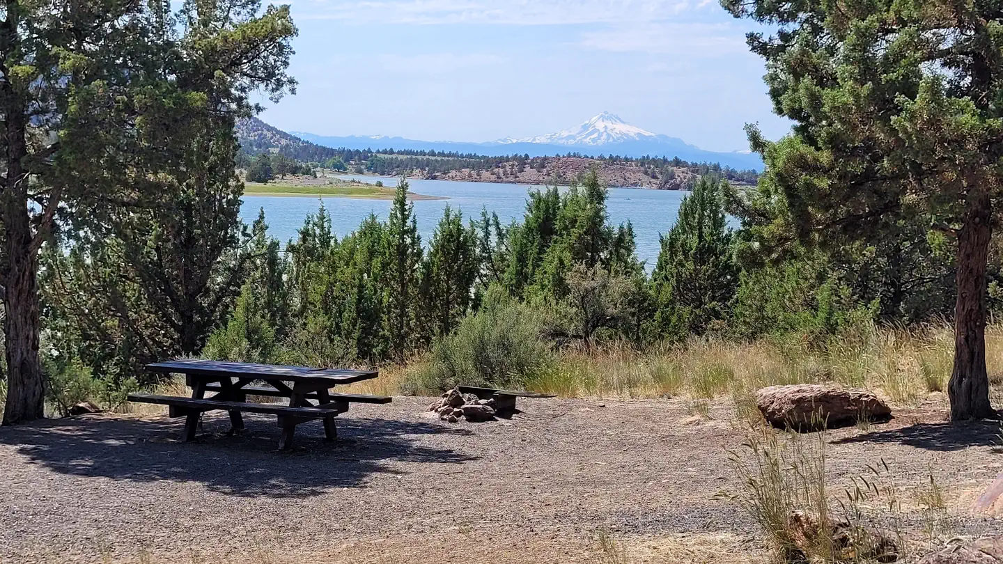
On the National Register nearby
- Madras Army Air Field North HangerBuilding · Madras · 7.8 mi
- Jefferson County CourthouseBuilding · Madras · 10.2 mi
- Max and Ollie Lueddemann HouseBuilding · Madras · 10.2 mi
Guidebooks for Oregon
We earn a small commission if you buy through these links. It does not change what we list.

Titles come from Open Library's catalog, matched by subject heading or by title.
Reference
Questions people ask
Do I need a reservation at Mecca Flat Campground?
No. Mecca Flat Campground is first-come, first-served. Sites are taken on arrival and paid at the fee station.
Source: How first-come camping works
How much does it cost to camp at Mecca Flat Campground?
Nothing. Mecca Flat Campground is listed as free. Day-Use/Trailhead: No Fee Camping: $8.00/night fee applies Sunday through Thursday nights, Friday and Saturday night fee is $12.00/night, Group Sites are $25.00/night Sunday through Thursday nights, Friday and Saturday night fee is $35.00/night.
How long can I stay at Mecca Flat Campground?
14 days.
Are there accessible sites at Mecca Flat Campground?
Vault toilet is accessible.
Is there cell service at Mecca Flat Campground?
FCC coverage maps show Verizon 4G LTE, AT&T 5G, and T-Mobile 5G at the campground point. Terrain changes that from one site to the next.
Source: FCC Broadband Map
What is the nearest town to Mecca Flat Campground?
Prineville, Oregon.
Source: Getting there
What if Mecca Flat Campground is full?
The nearest public campgrounds are Trout Creek Campground (6.3 mi, first-come), Monty Campground (16.8 mi), and Perry South Campground (17.3 mi).
Source: Campgrounds nearby